
Guide to Development in Flood Risk Areas
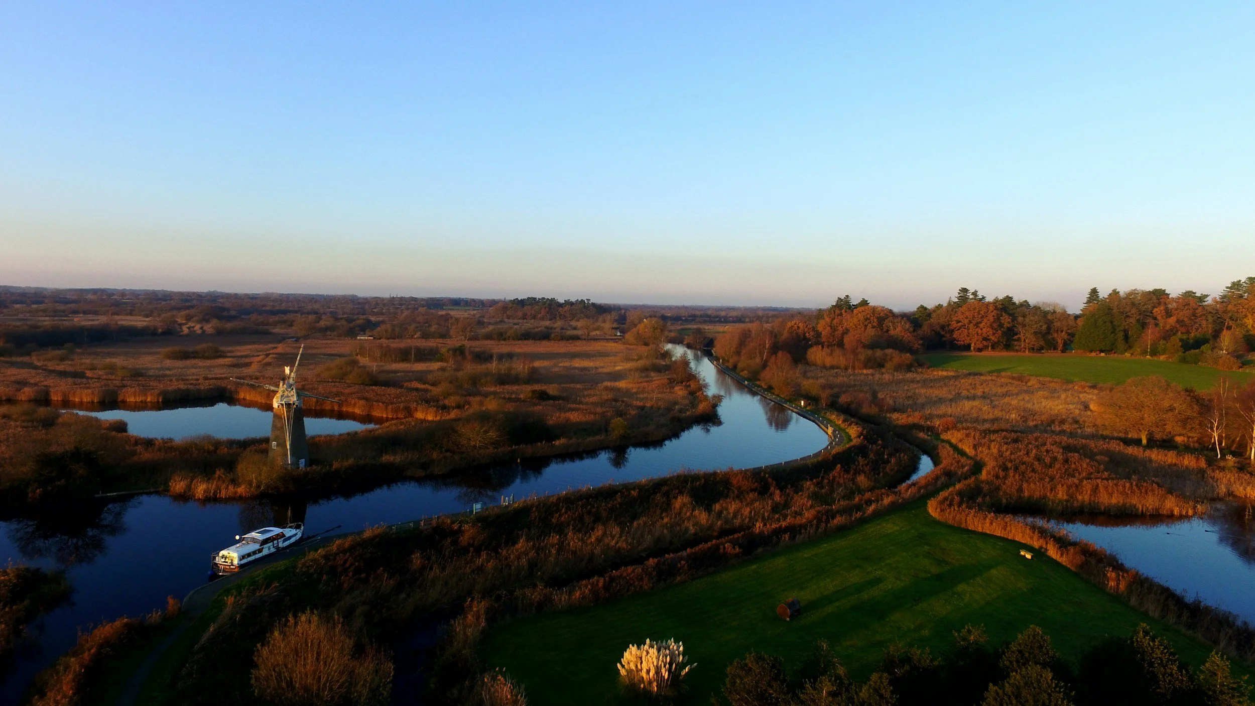
Flood risk refers to land that may be affected by flooding from rivers, the sea, surface water, groundwater, reservoirs, or other sources. Certain areas across England are identified as being at risk of flooding and are therefore subject to strict planning controls. Local Planning Authorities (LPAs) must ensure that new development is safe from flooding for its lifetime and does not increase flood risk elsewhere before Planning Permission can be granted.
Key areas commonly affected include:
River floodplains associated with major watercourses such as the River Severn, River Trent, River Thames, and River Ouse.
Coastal areas vulnerable to tidal flooding, including parts of Lincolnshire, Norfolk, Kent, Somerset, and Lancashire.
Urban areas with known surface water flooding issues, particularly where drainage infrastructure is constrained.
Development in these areas is therefore subject to detailed technical scrutiny. Proposals often require site-specific Flood Risk Assessments, drainage strategies, hydraulic modelling, and sustainable drainage measures to demonstrate that flood risk can be appropriately managed. In many cases, applicants must also satisfy the Sequential Test and, where applicable, the Exception Test.
Understanding the specific flood constraints affecting a site is essential to preparing applications with a realistic prospect of securing Planning Permission.
Desktop Flood Risk Assessments
In many cases, sites located within areas at risk of flooding will require a site-specific Flood Risk Assessment in order for a planning application to be validated by the Local Planning Authority. We can prepare desktop Flood Risk Assessments for suitable sites, reviewing Environment Agency data, flood mapping, topography, and local drainage constraints to support the planning process and help identify potential flood-related issues at an early stage.
We can prepare a desktop Flood Risk Assessment for your site to support your planning application and assist with validation requirements. Contact us here to discuss your project and obtain a quotation.
Refusal Risks in Flood Risk Areas
Applications within areas at risk of flooding are frequently refused due to the complex interaction of flood risk policy, drainage requirements, environmental constraints, and site-specific technical issues. Common reasons for refusal include:
Failure to adequately demonstrate that the development will be safe from flooding for its lifetime.
Inappropriate development proposed within Flood Zone 2, Flood Zone 3, or areas at risk of surface water flooding.
Failure to satisfy the Sequential Test or Exception Test where required.
Inadequate Flood Risk Assessments or insufficient drainage strategies.
Proposals that increase flood risk elsewhere through displacement of floodwater or insufficient attenuation.
Poorly designed surface water drainage systems or failure to incorporate sustainable drainage measures.
Conflicts with Local Planning Authority policies, Environment Agency advice, Lead Local Flood Authority requirements, or the National Planning Policy Framework.
Late engagement with LPAs or statutory consultees, resulting in unresolved flood risk and drainage concerns.
We have extensive experience advising developers and landowners on sites affected by flood risk constraints, including strategic site appraisals, flood risk mitigation strategies, drainage coordination, and Planning Permission support.
For bespoke guidance, get in touch here.
For Developers
Residential and commercial development in flood risk areas is subject to strict planning controls. Planning authorities will only support proposals that clearly demonstrate that development will be safe from flooding and will not increase flood risk elsewhere. Potential strategies include:
Designing sustainable drainage systems (SuDS) to manage surface water runoff effectively.
Raising finished floor levels and incorporating flood resilience or resistance measures.
Redeveloping previously developed land in lower-risk areas of a site.
Providing attenuation, flood storage, or controlled discharge solutions to reduce downstream impacts.
Preparing robust Flood Risk Assessments supported by hydraulic modelling and drainage calculations.
Early consultation with the Local Planning Authority, Environment Agency, and drainage consultees, alongside clear technical evidence, is essential to maximise the prospects of securing Planning Permission.
For Landowners
Landowners with sites affected by flood risk should focus on development opportunities that can be delivered safely and responsibly. Opportunities may include:
Redevelopment of previously developed sites with improved drainage and flood mitigation measures.
Small-scale residential or commercial projects in areas of lower flood risk.
Development proposals that incorporate environmental enhancements, flood storage, or sustainable drainage infrastructure.
Schemes that improve existing drainage conditions or reduce surface water flooding in the surrounding area.
Professional guidance is strongly recommended to navigate flood risk policy, prepare robust technical submissions, and address Environment Agency and Local Planning Authority requirements. Well-prepared proposals can often unlock development potential while ensuring flood risk is appropriately managed.