
 Image 1 of 4
 Image 2 of 4
 Image 3 of 4
 Image 4 of 4
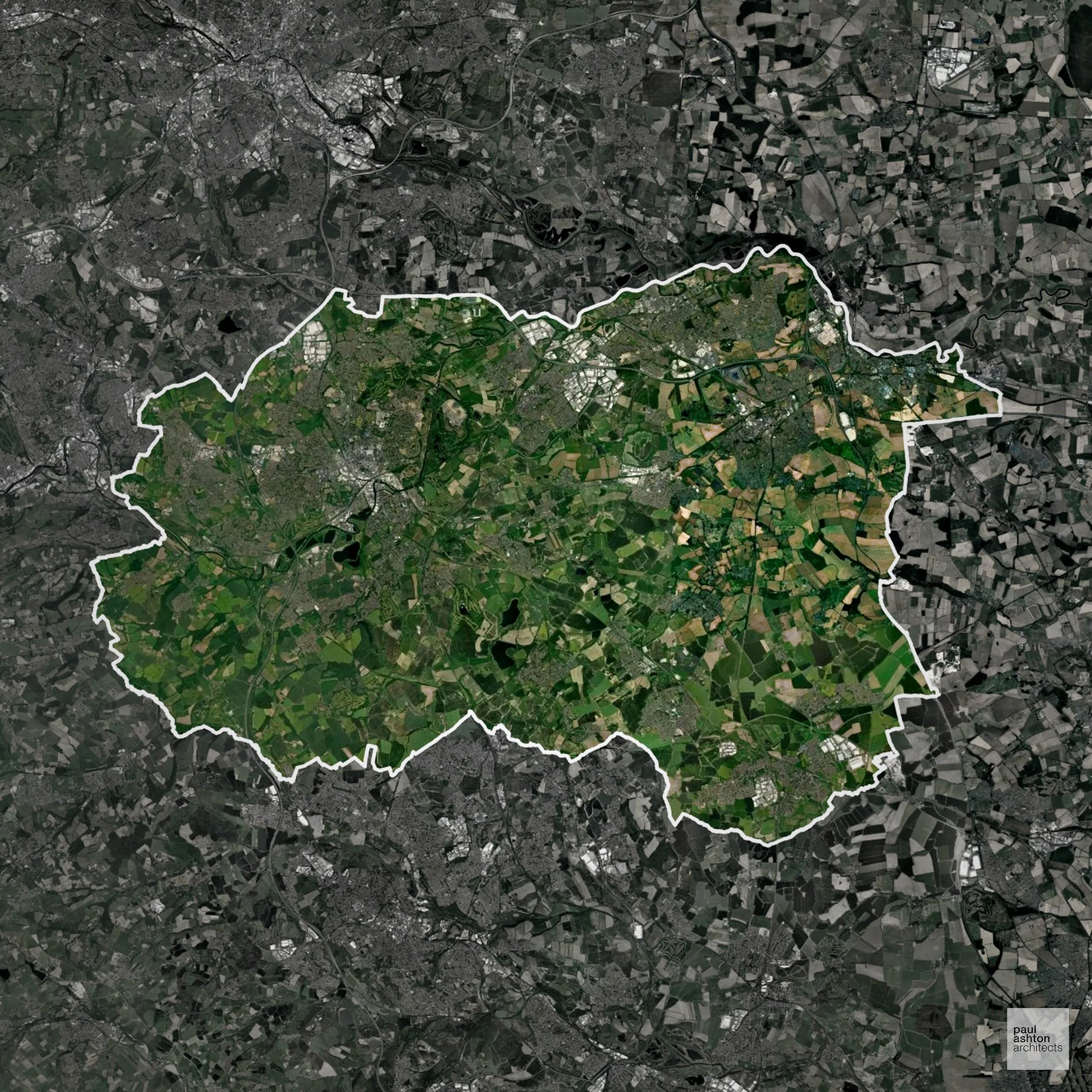
Wakefield includes the city centre, Castleford, and Pontefract. About 67.6% of the district is Green Belt, framing urban edges and protecting surrounding villages. Known for industrial heritage, historic towns, and market streets, planning balances residential, commercial, and conversion projects with countryside protection.
In the last year Wakefield decided 1,086 applications which is just above the national average of 988. The approval rate was 92% (roughly equal to the national average of 88%) and 44% of applications were decided on time, (significantly below the national average of 59%). Stats updated March 2026 from gov. sources. See how Wakefield performs relative to other LPAs in our LPA hub.
Significantly, 67.6% of Wakefield is within the Green Belt and proposals in these areas can be subject to high levels of scrutiny.
The Green Belt near Wakefield and Horbury constrains development to safeguard rural landscapes and village separation.
In our experience, one of the top reasons poorly conceived Green Belt proposals are refused is causing 'harm to openness'. We can lower the risk of refusal with site-specific guidance. Contact us here.
You can also check whether your land is within the Green Belt using our interactive Green Belt map.
The Aire and Calder floodplains cover extensive areas of the district and the 2015 Boxing Day floods caused serious damage, with Flood Zone 3 a significant constraint on growth in many settlements.
Where constraints permit, we can develop proposals that manage flood risk thoughtfully to give applications the best chance of approval. Learn more about development risks in flood risk areas here.
Alongside acting as Planning Consultants we are ARB registered architects with 25+ years of experience. We advise on and prepare planning applications across a range of development types, including:
Creative architectural design is often what secures Planning Permission where standard approaches fall short. Tell us about your project.