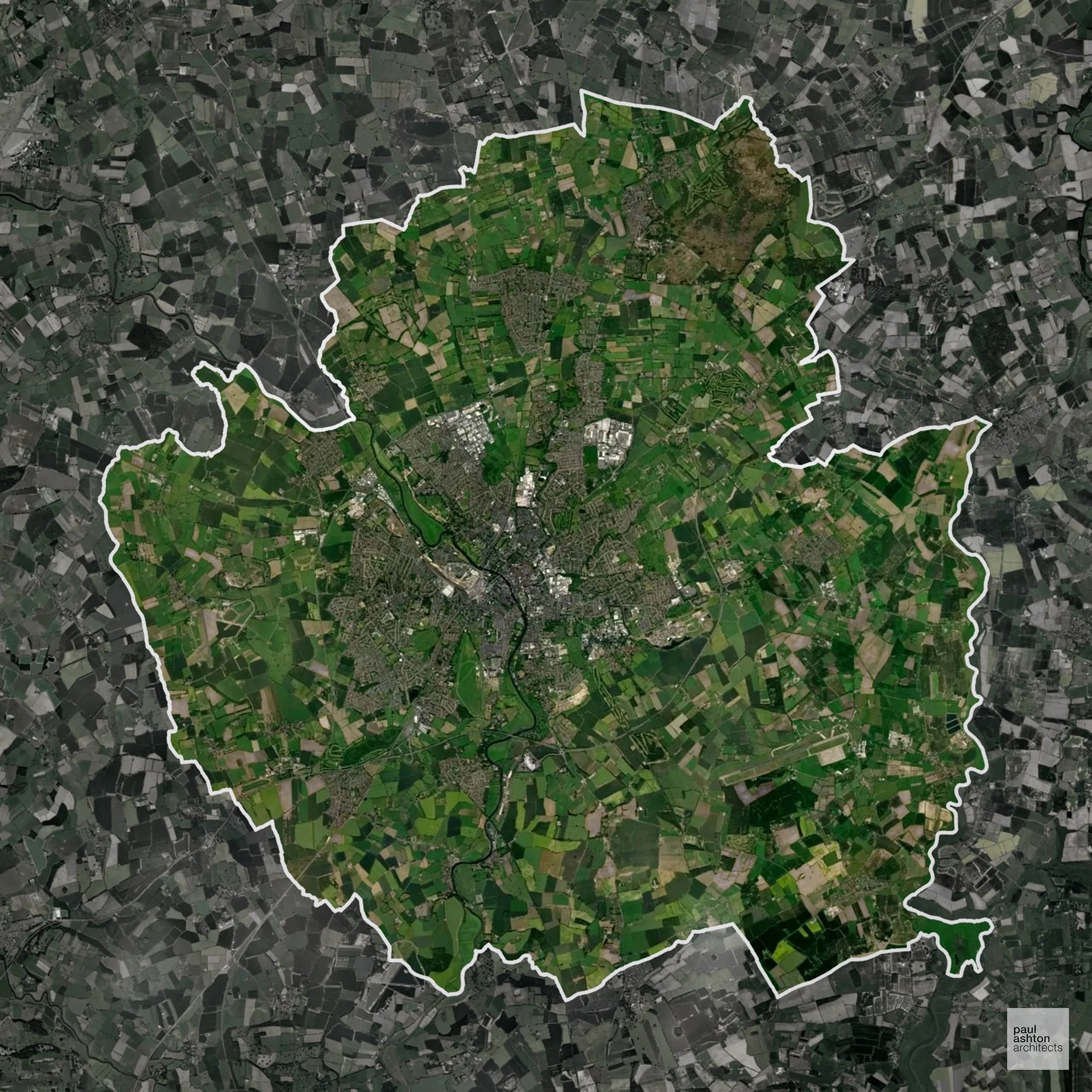
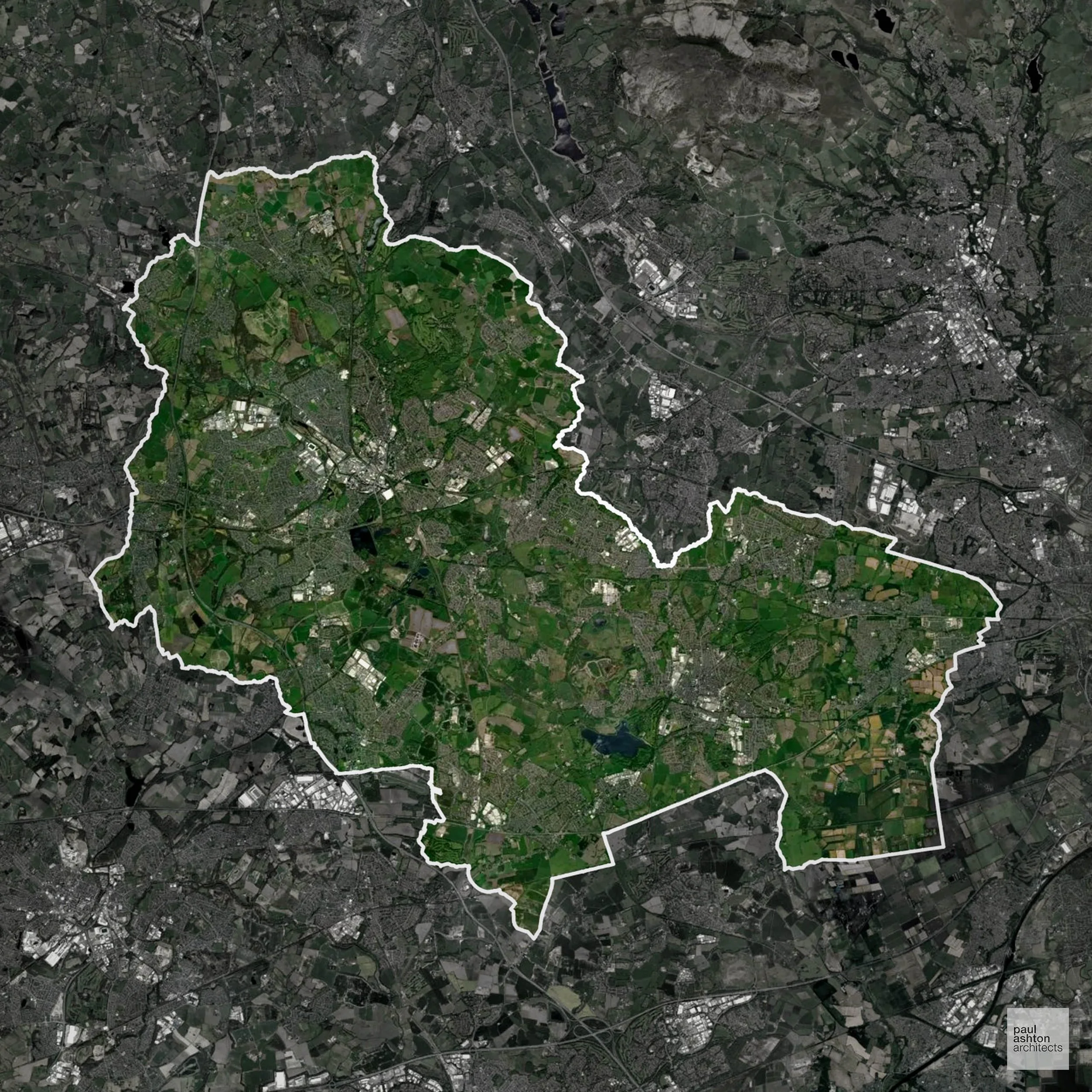
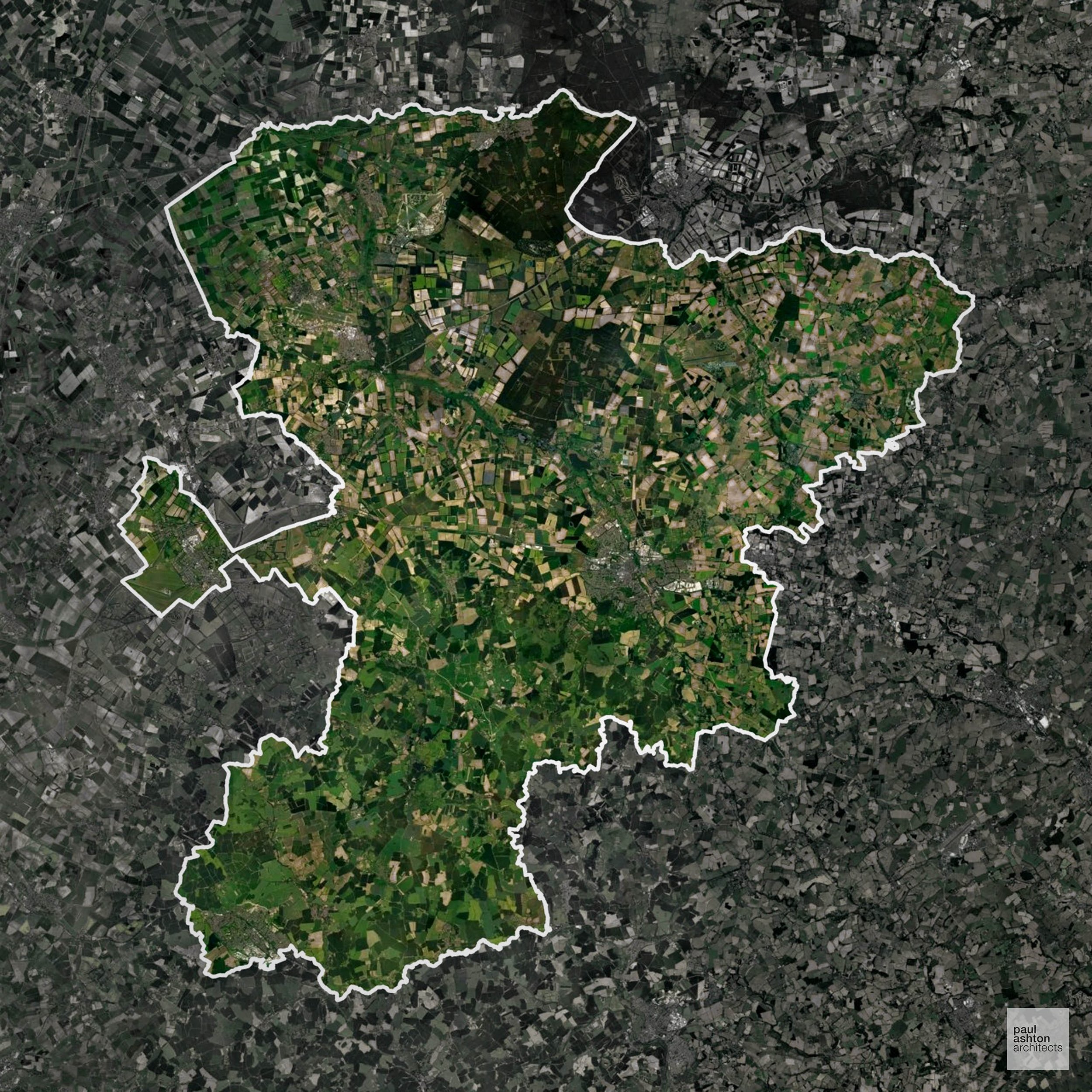
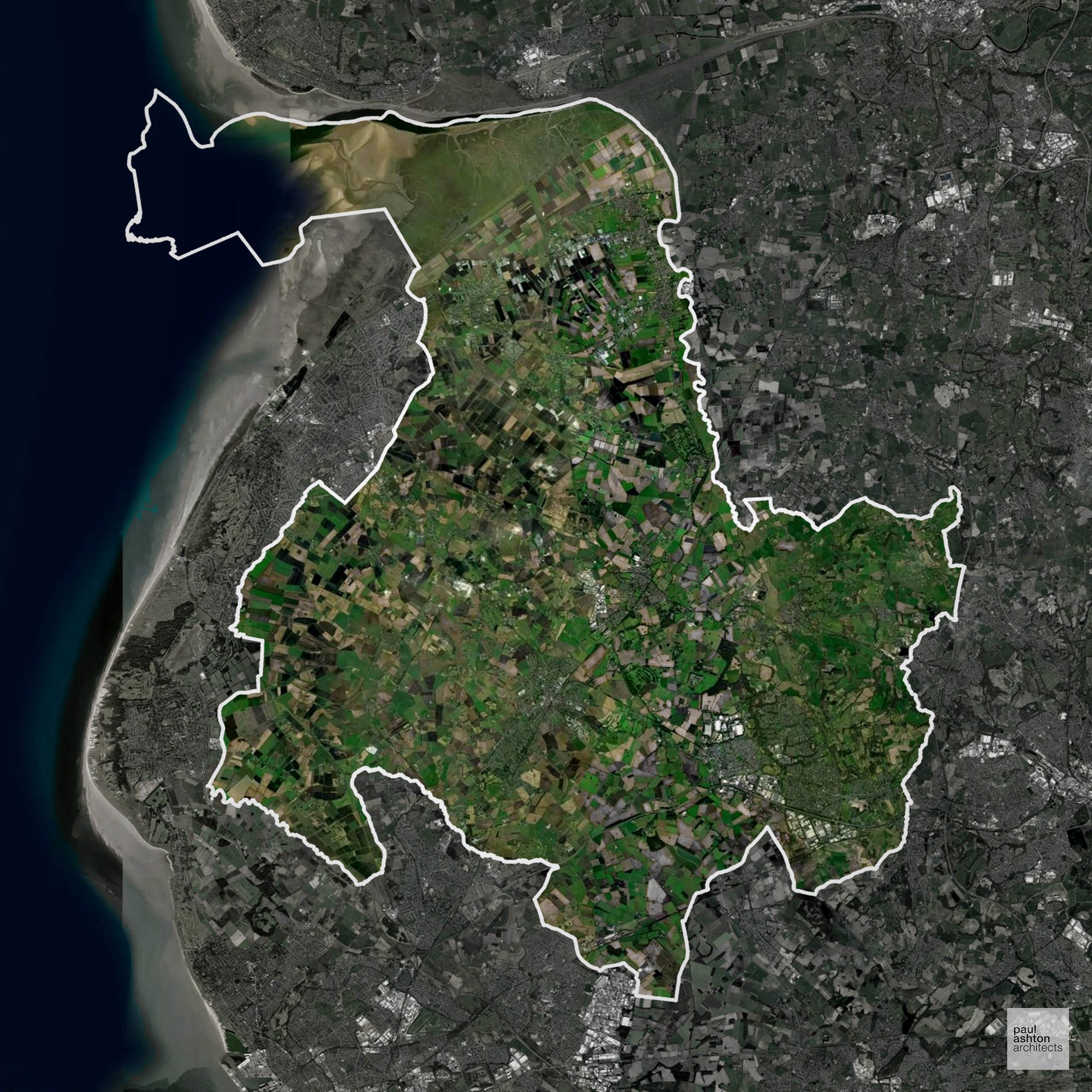
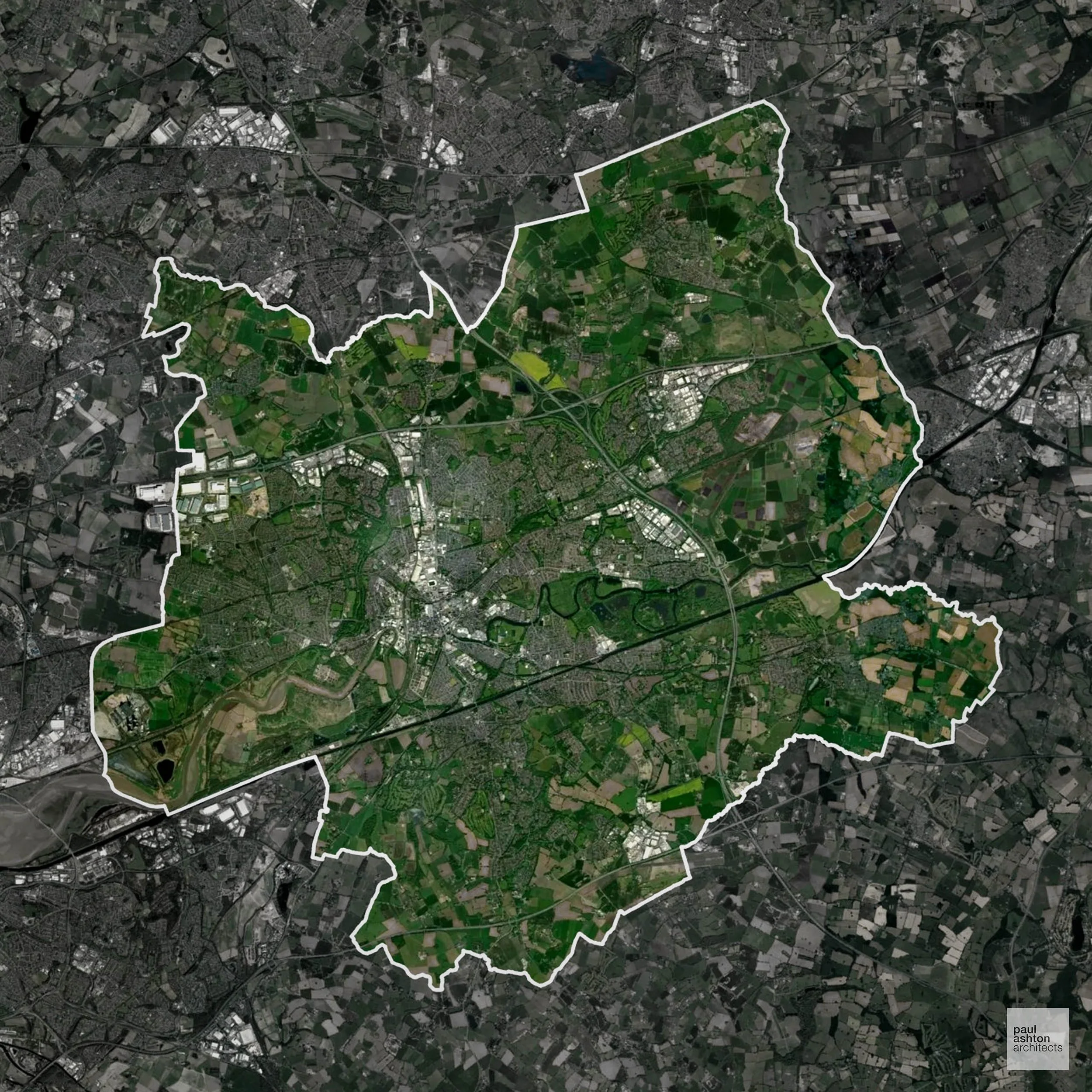
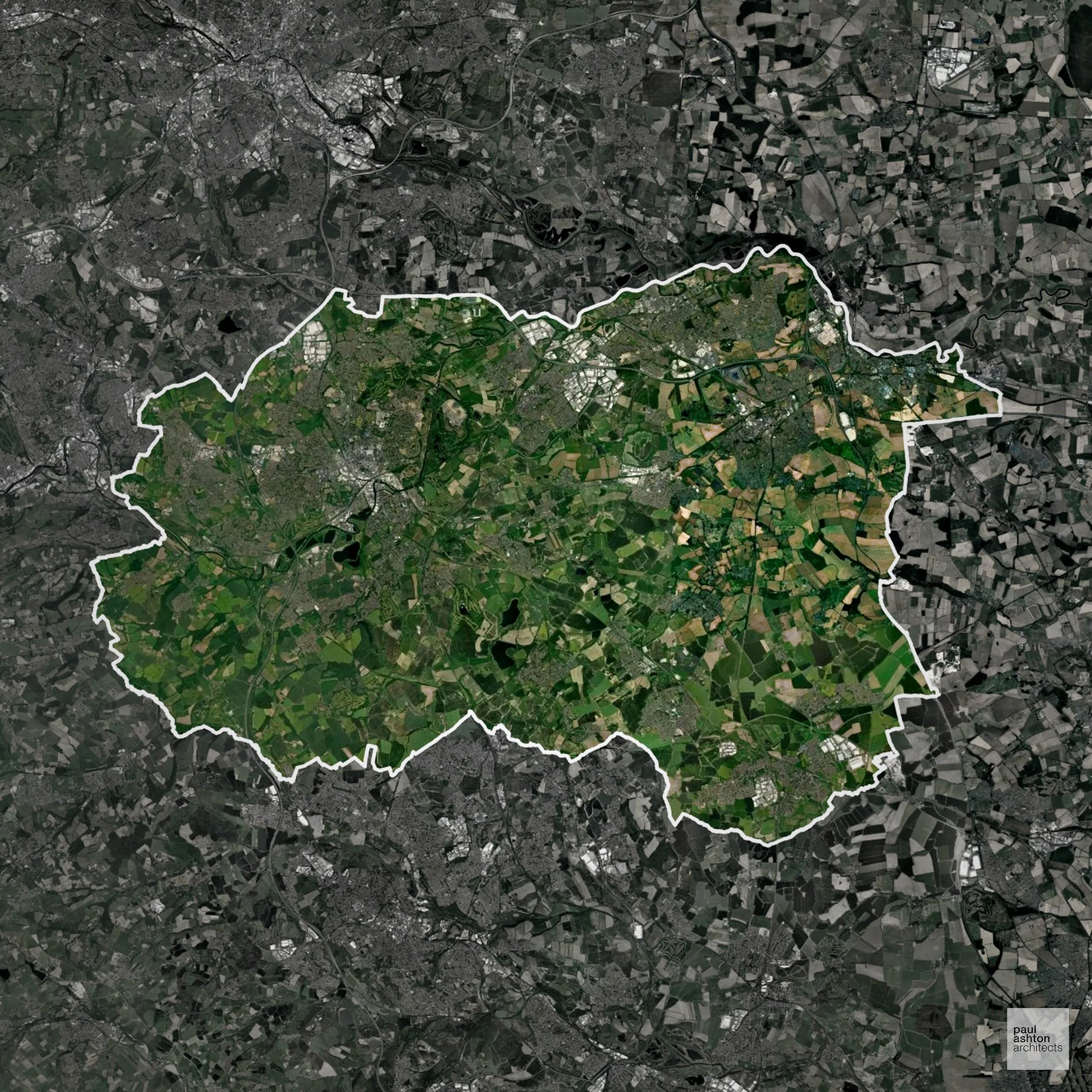
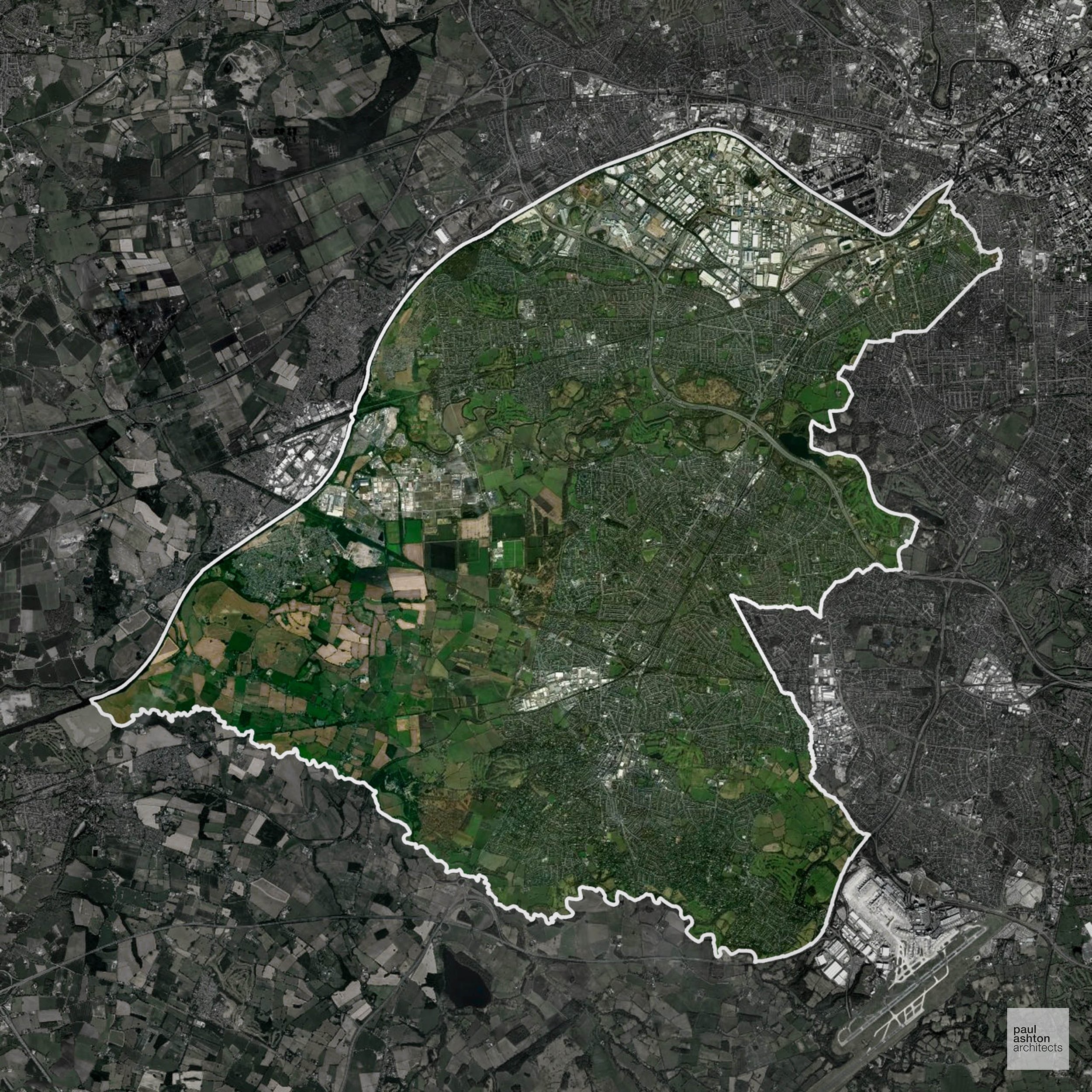
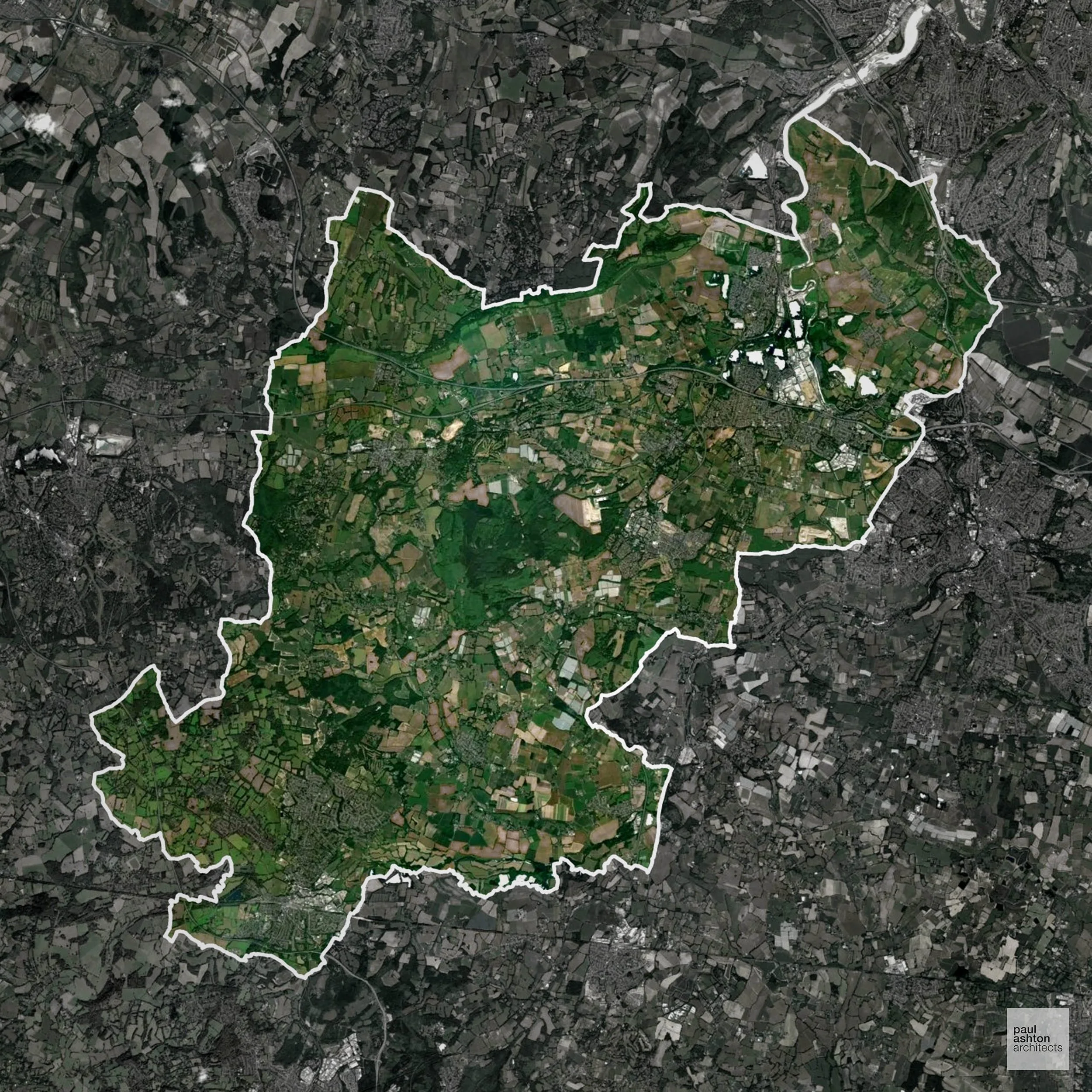
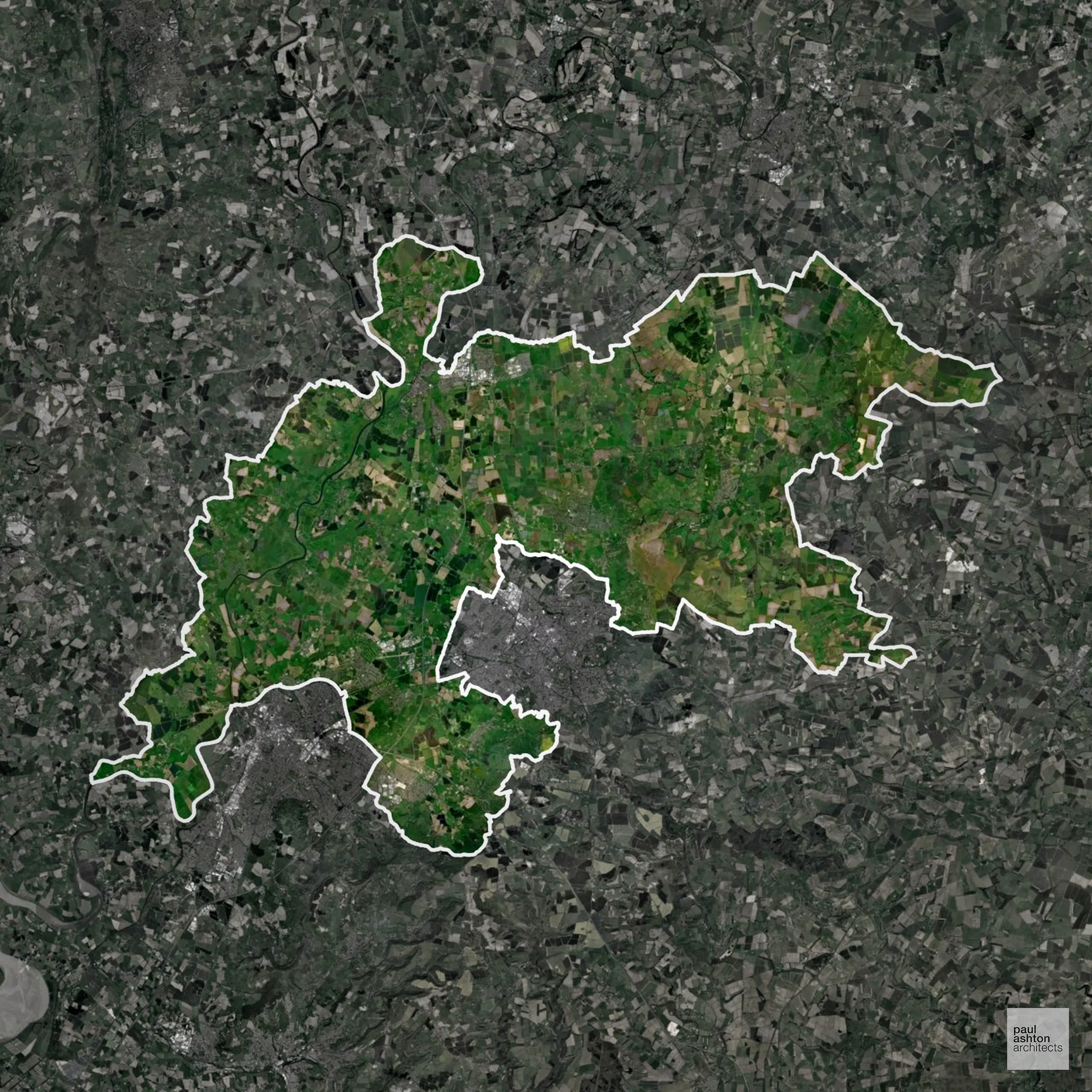
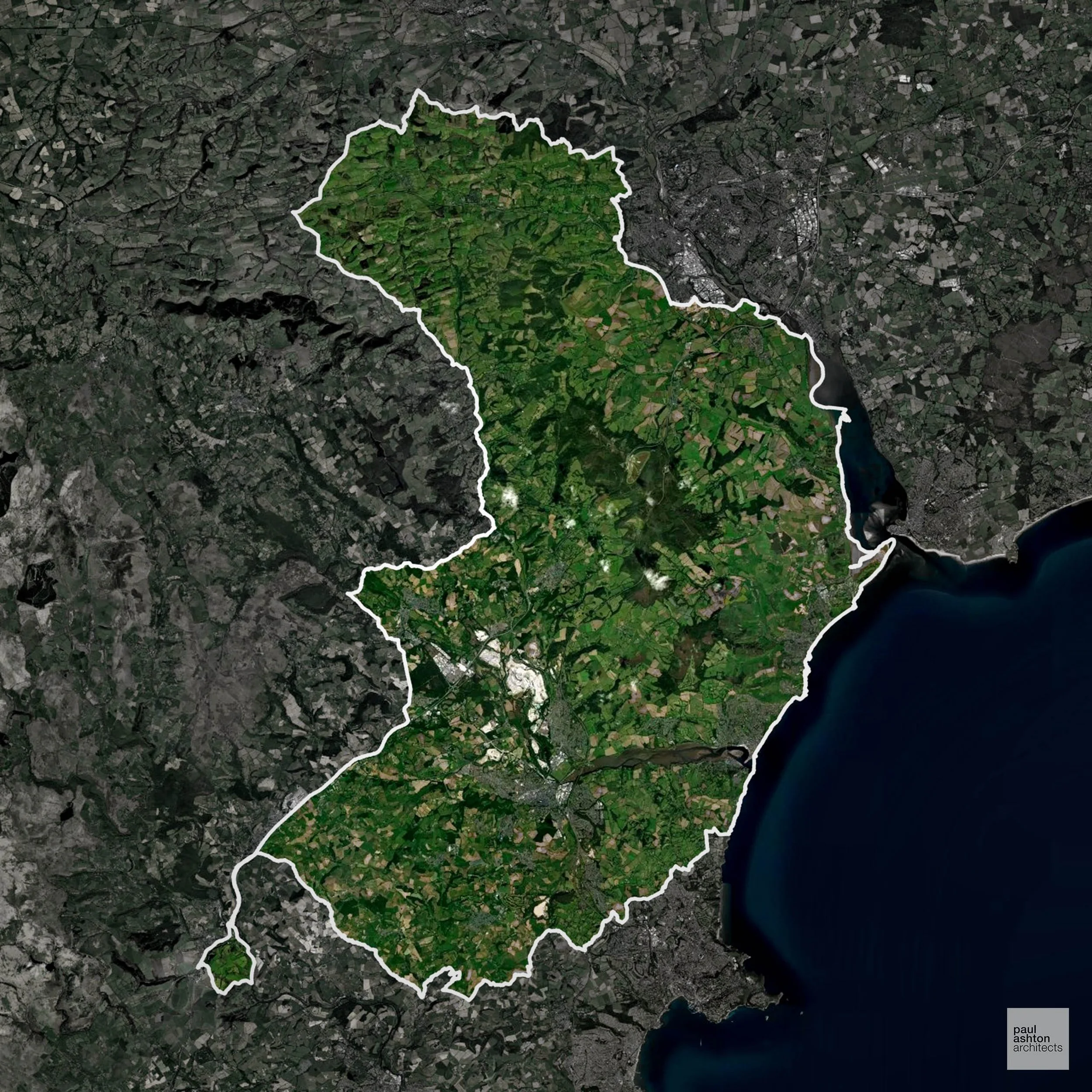
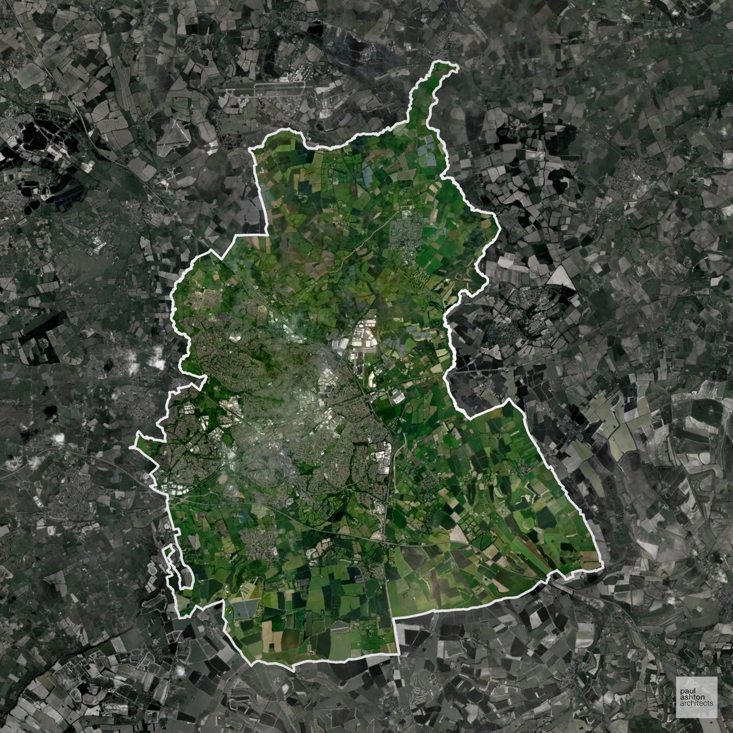
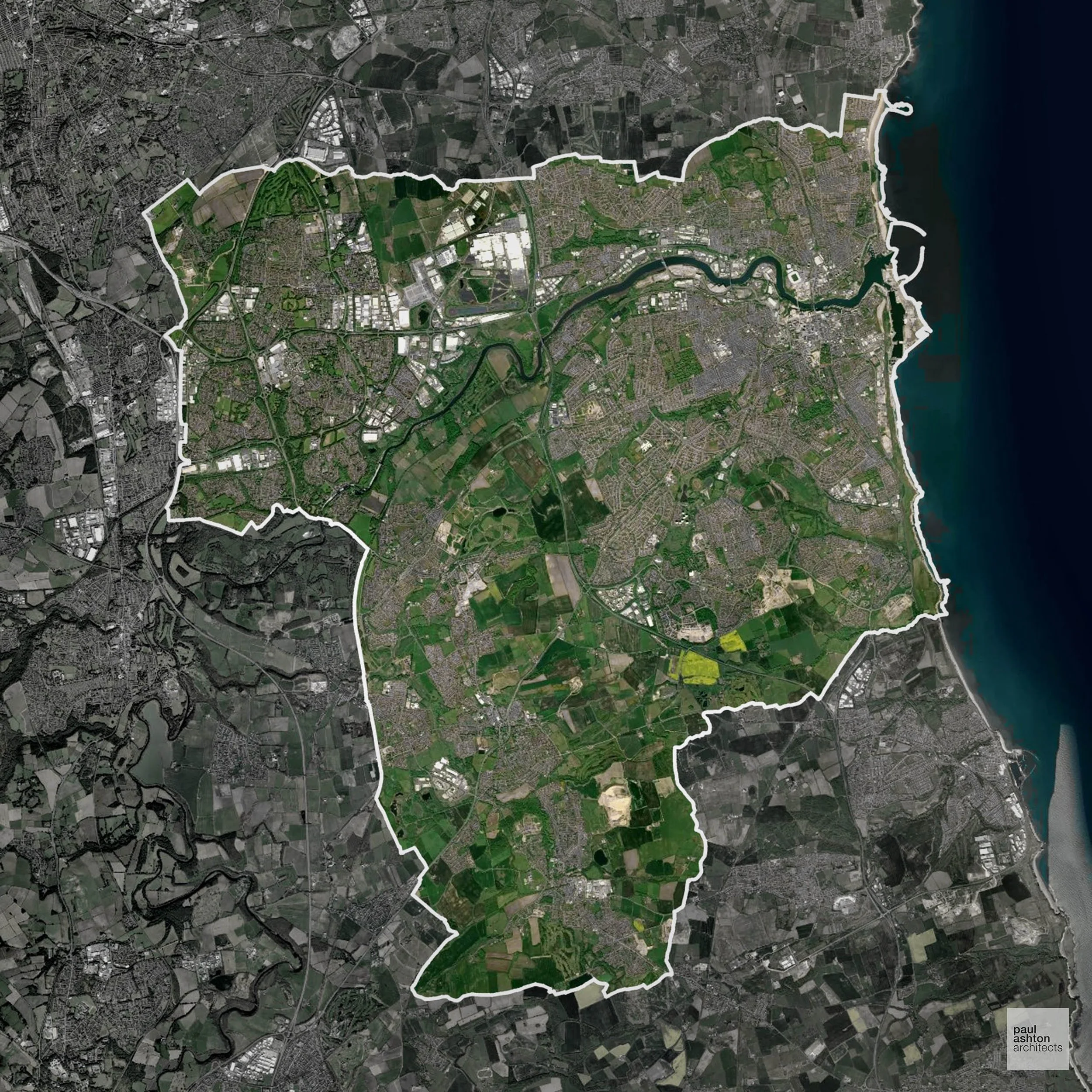
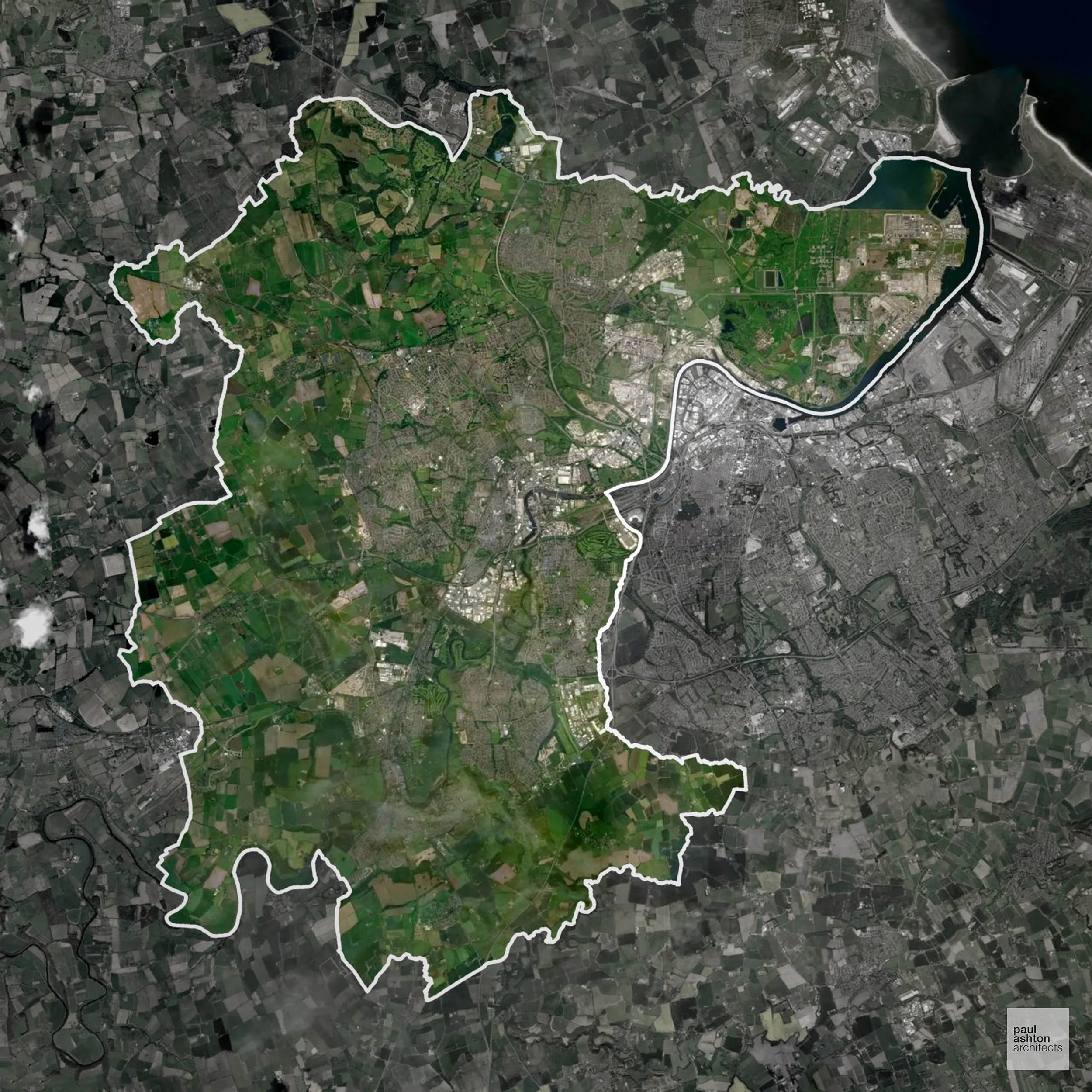
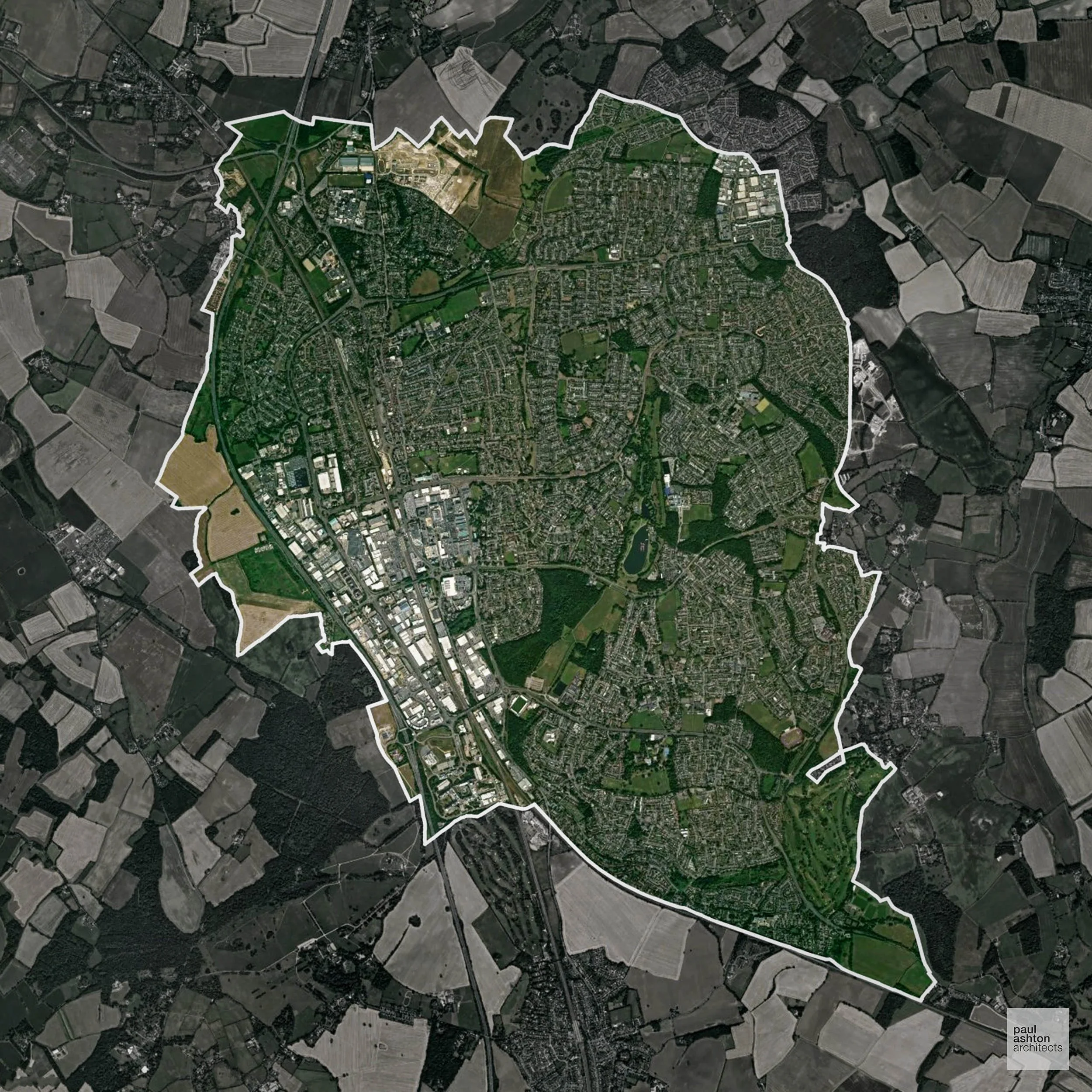
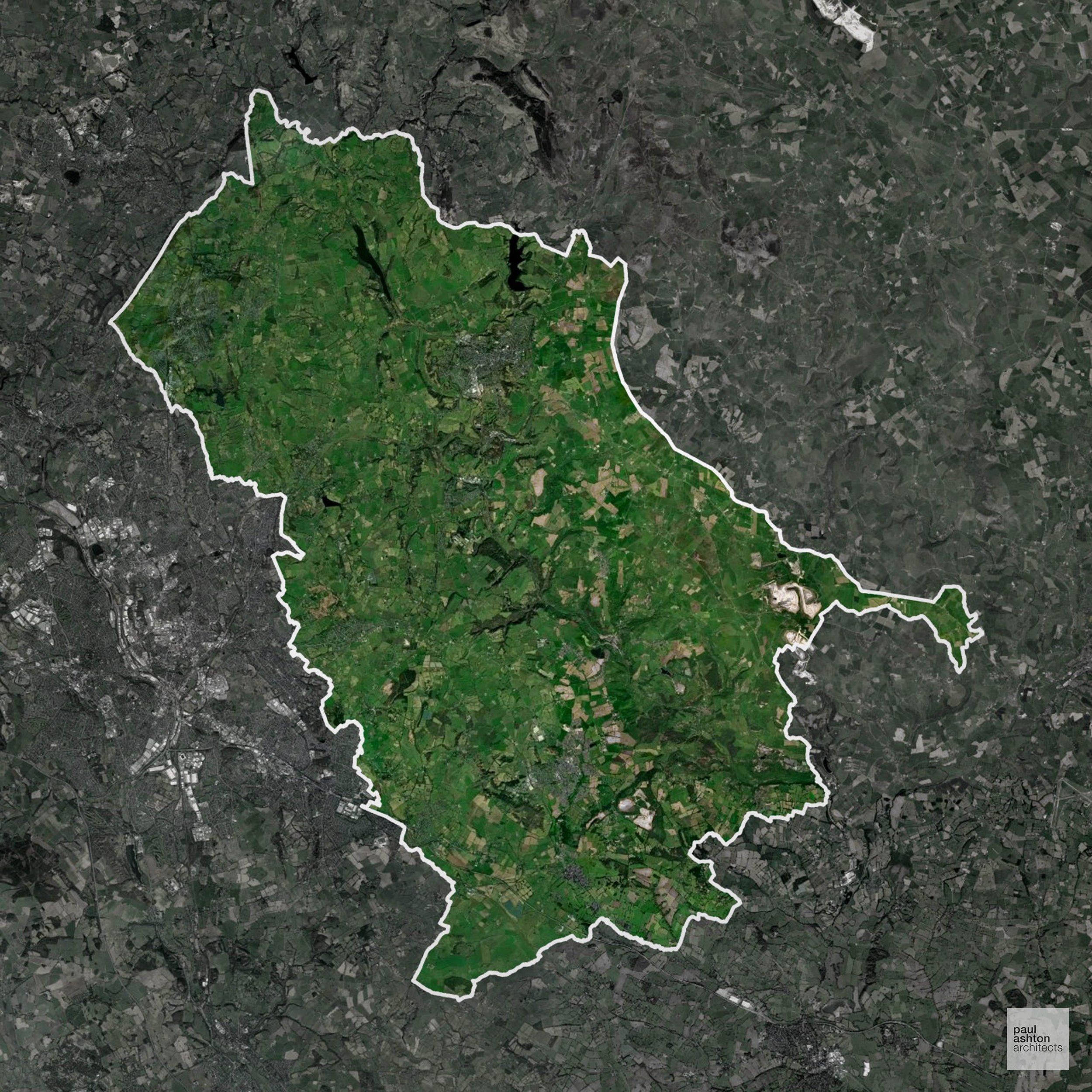
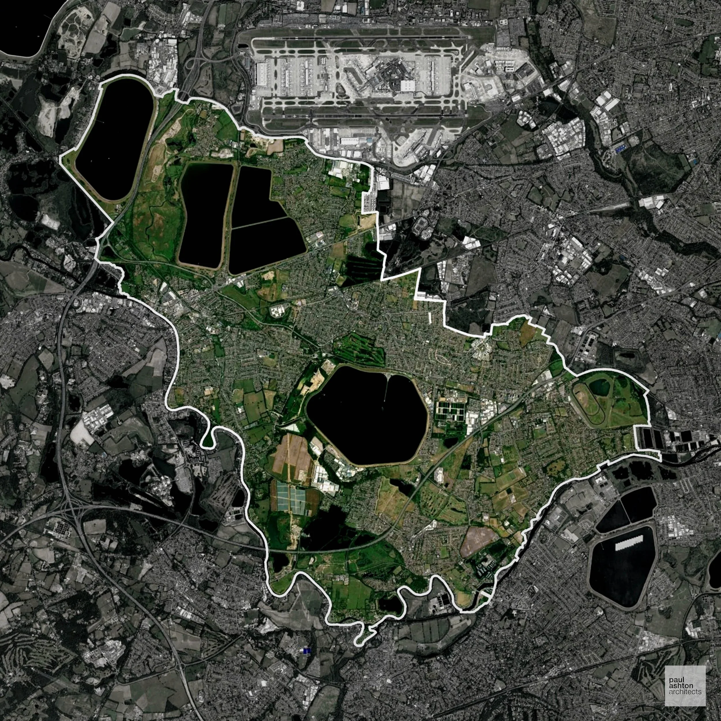
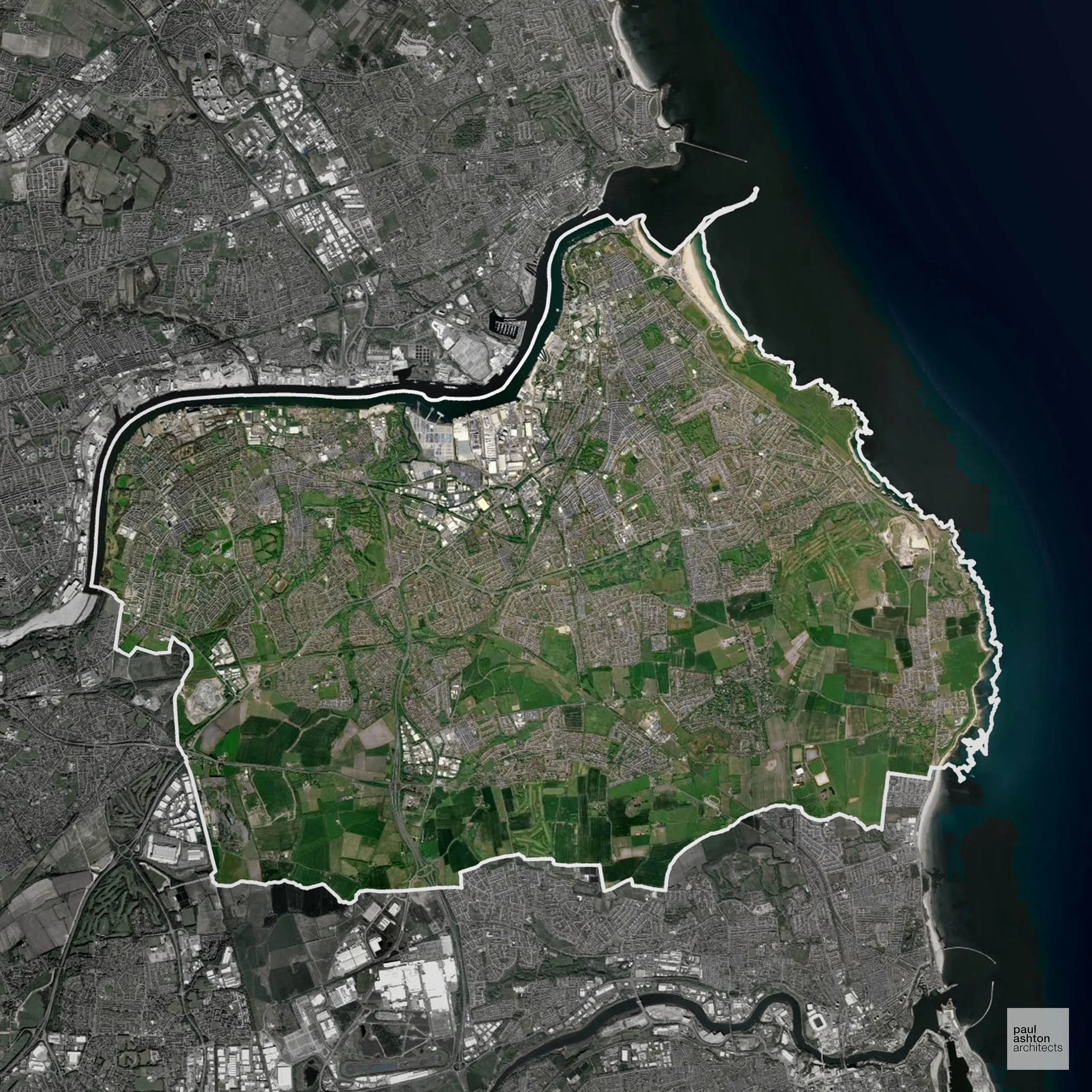
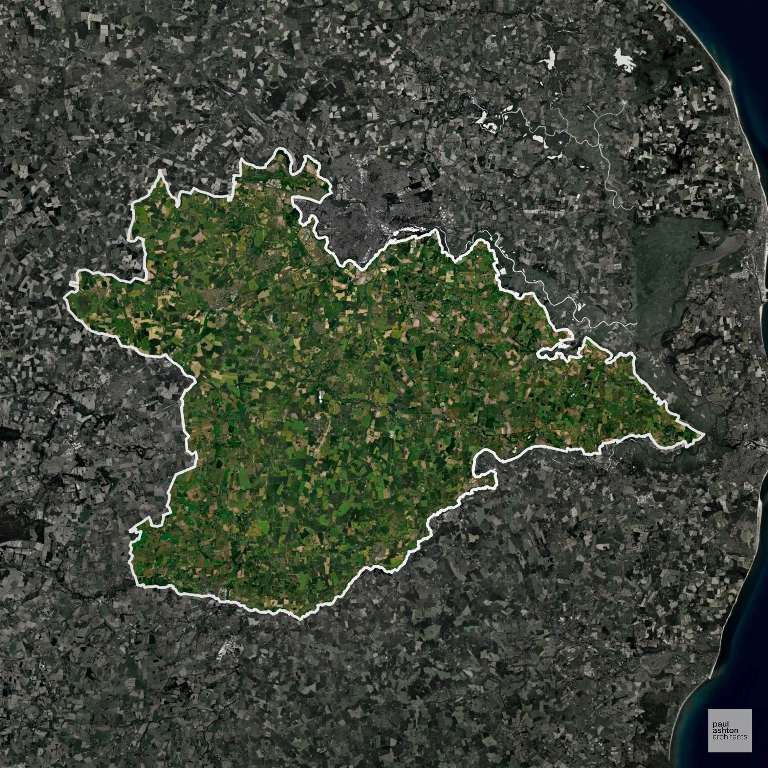
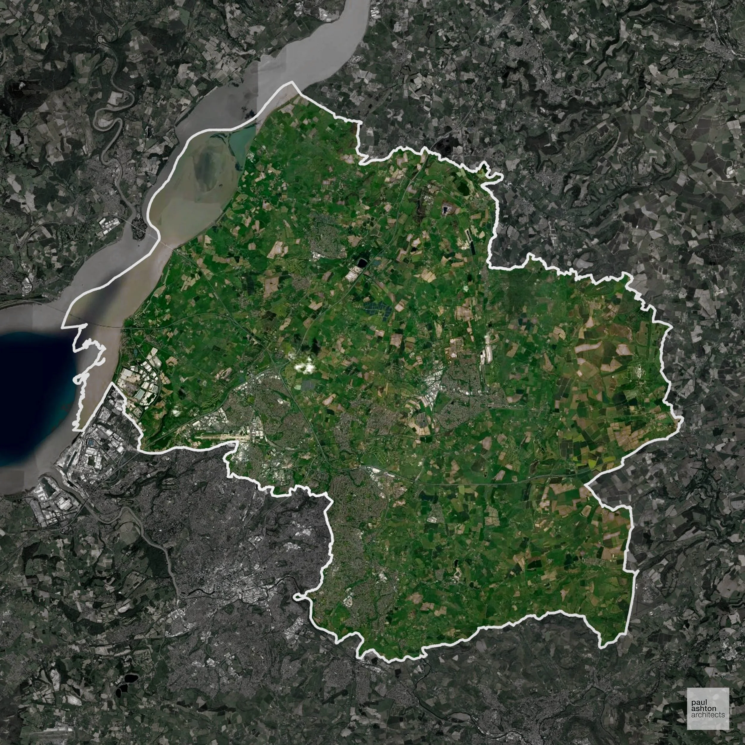
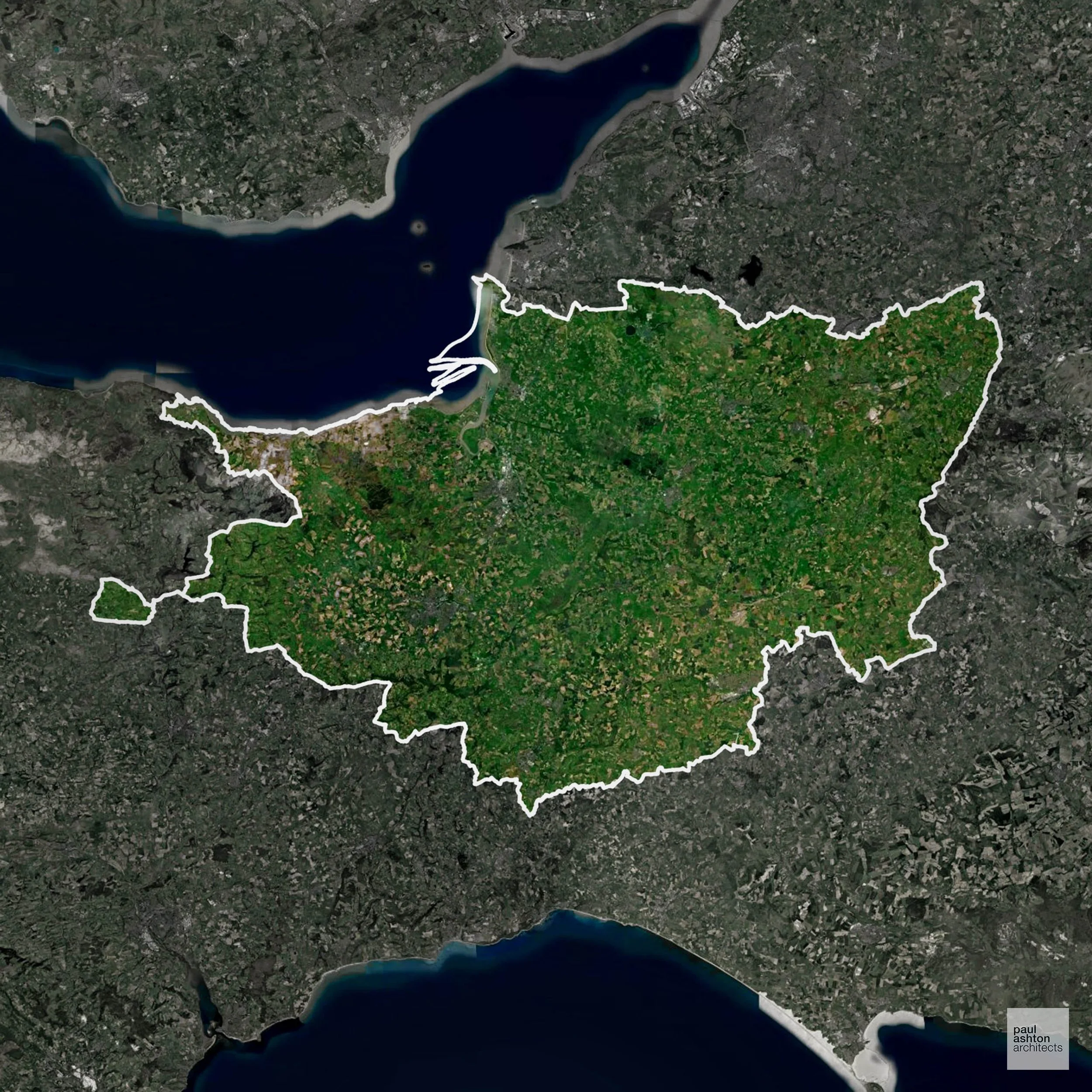
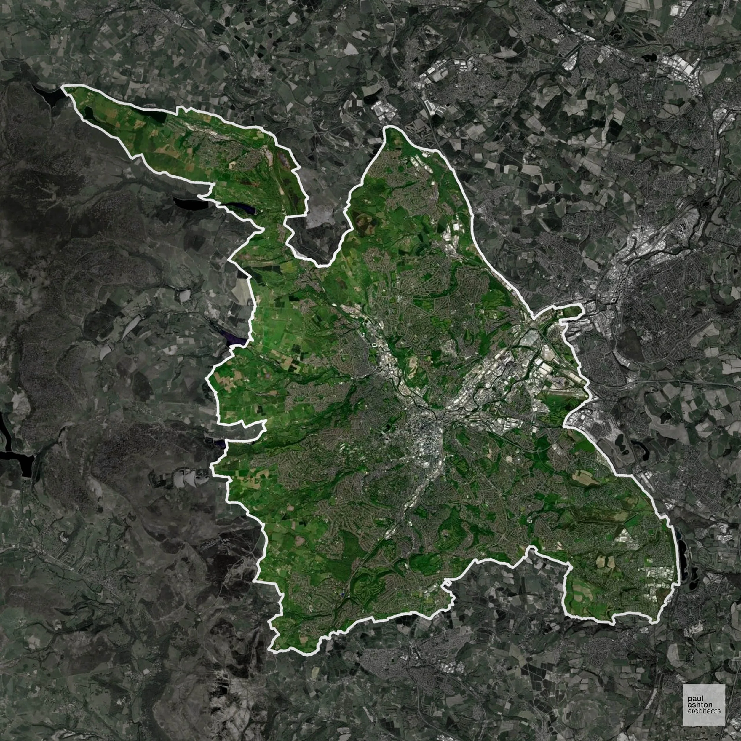
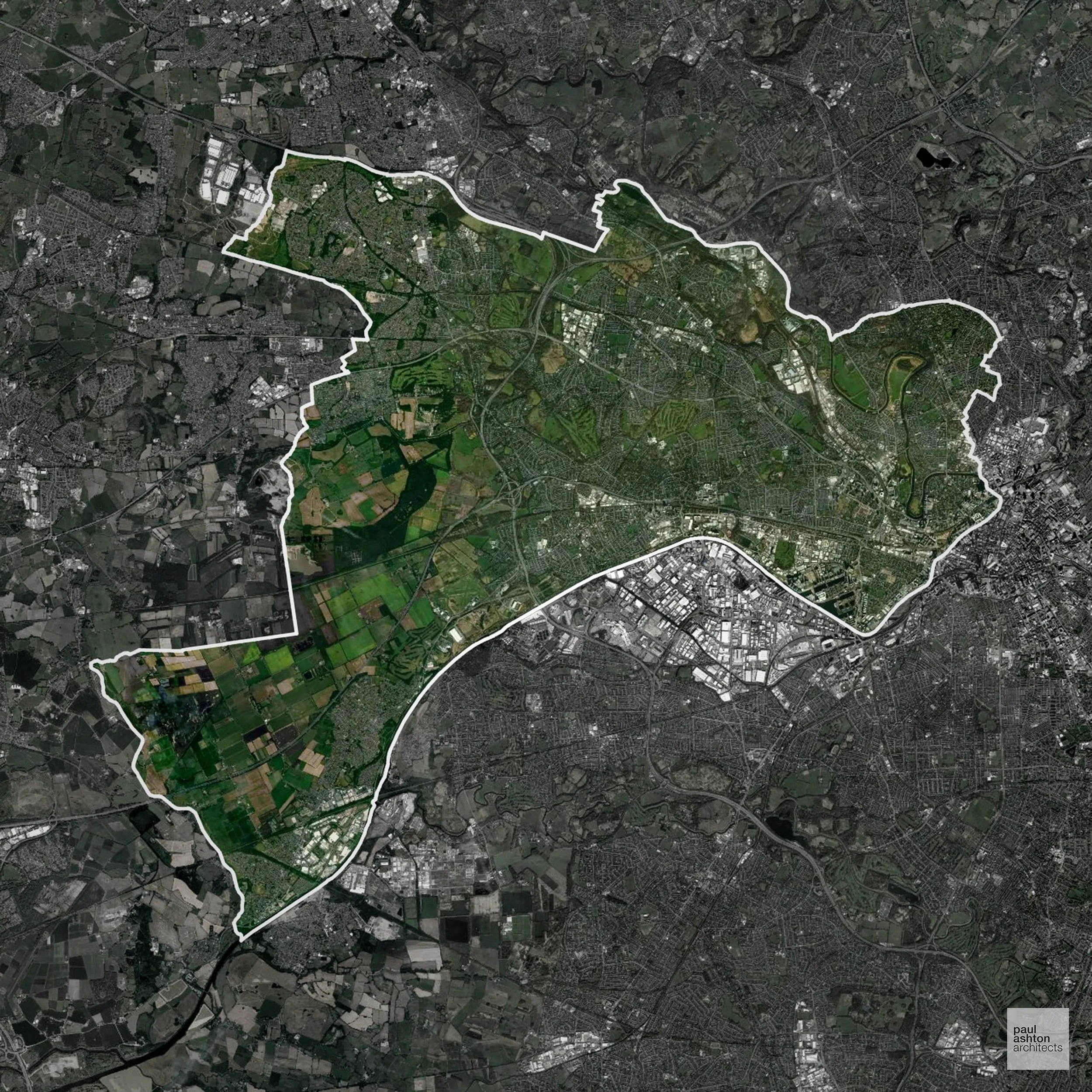
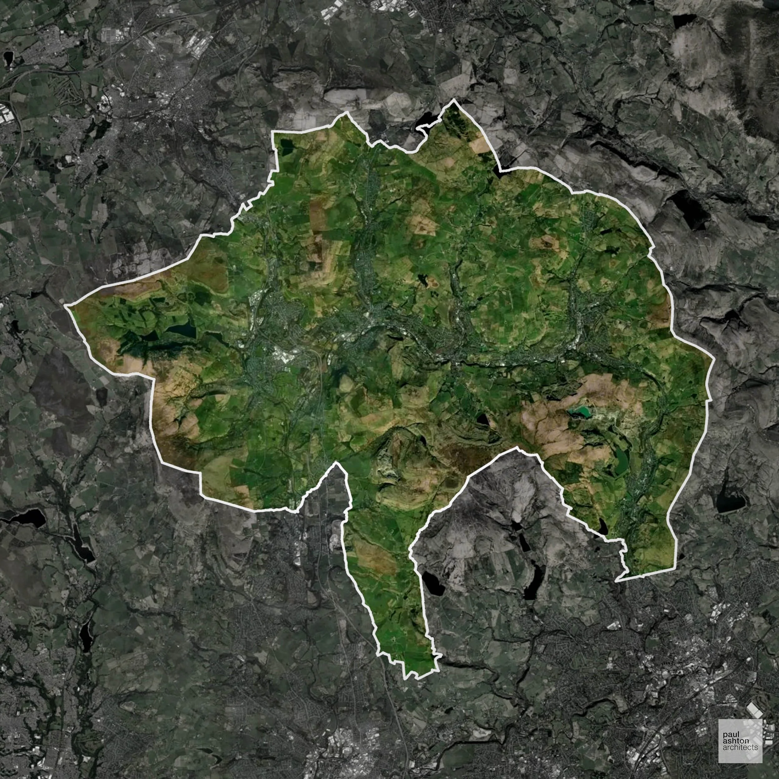
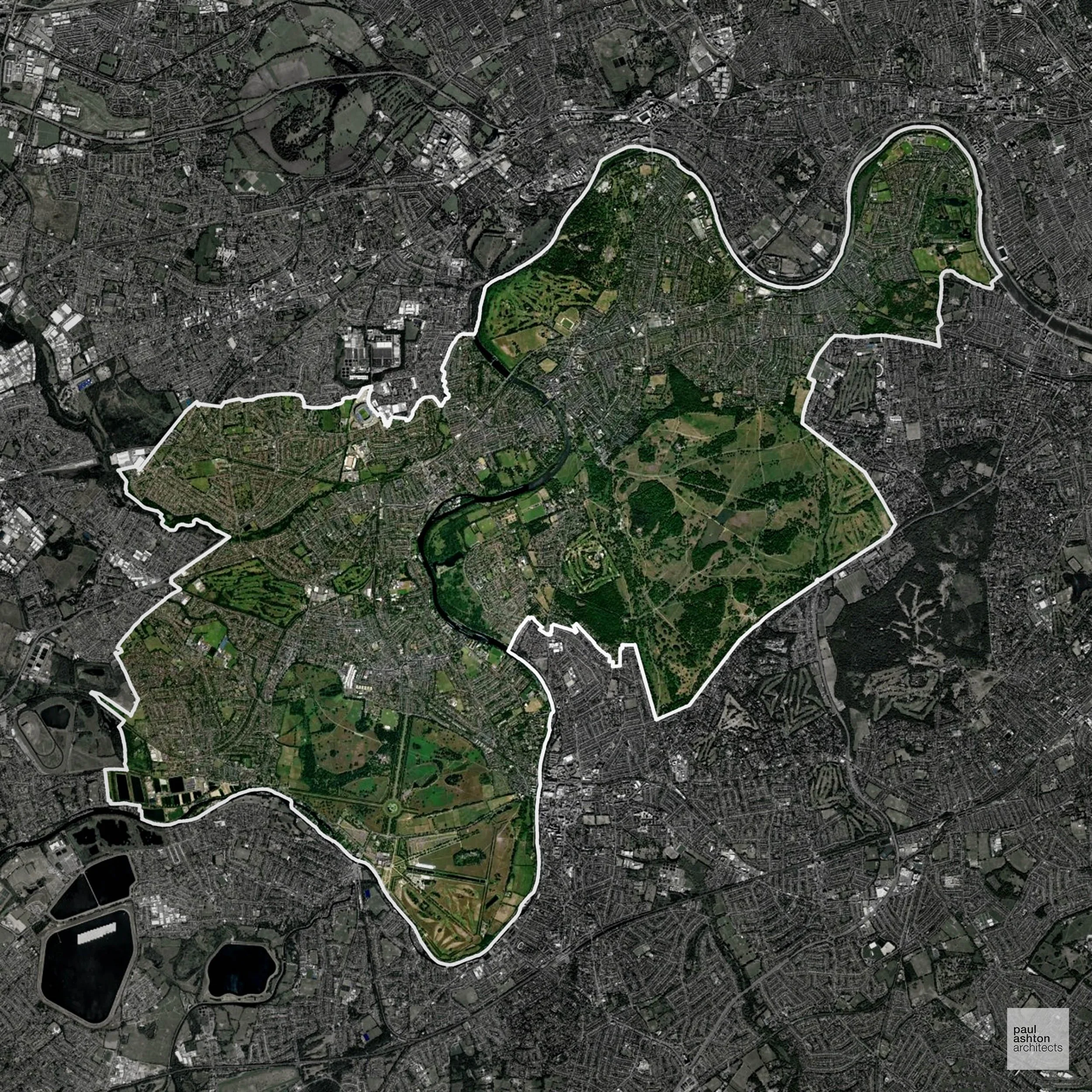
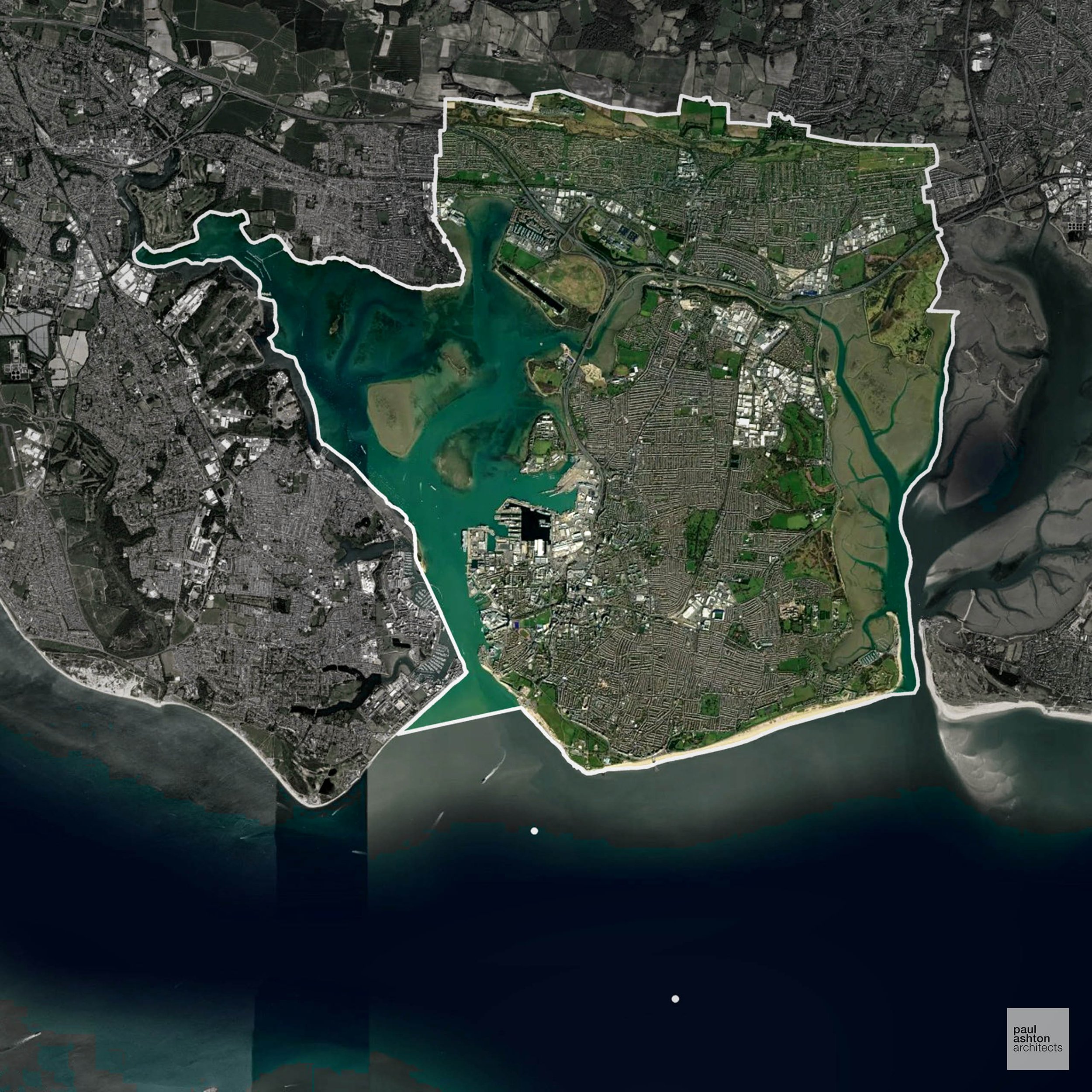
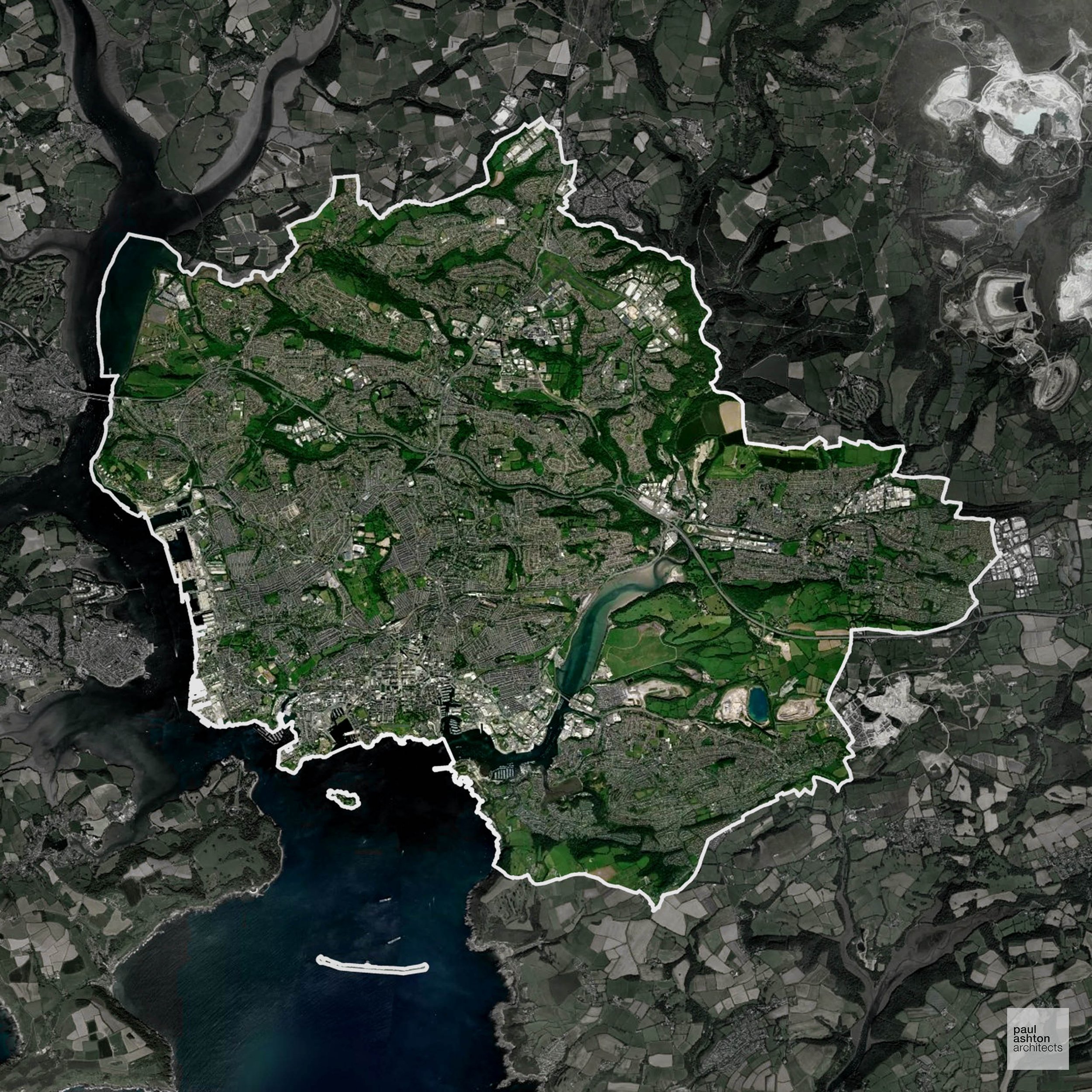
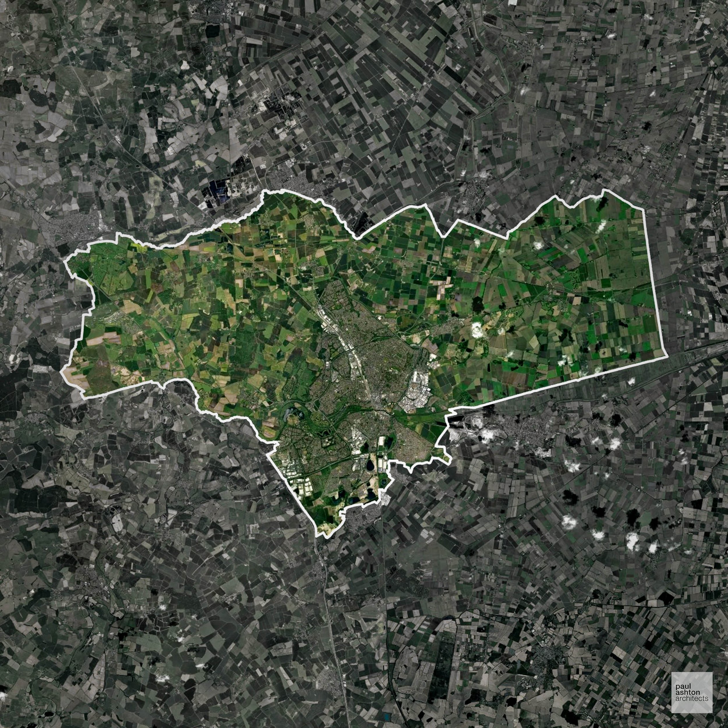
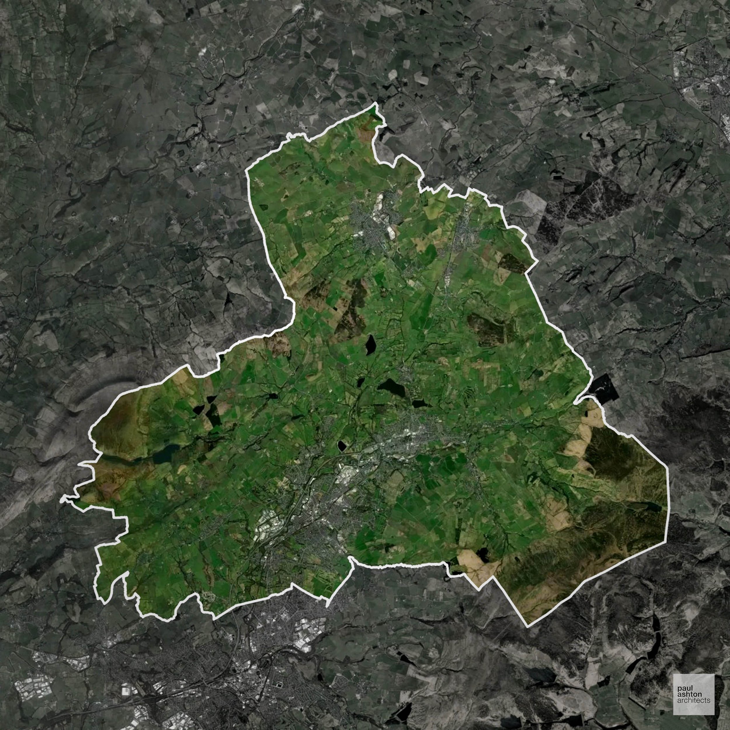
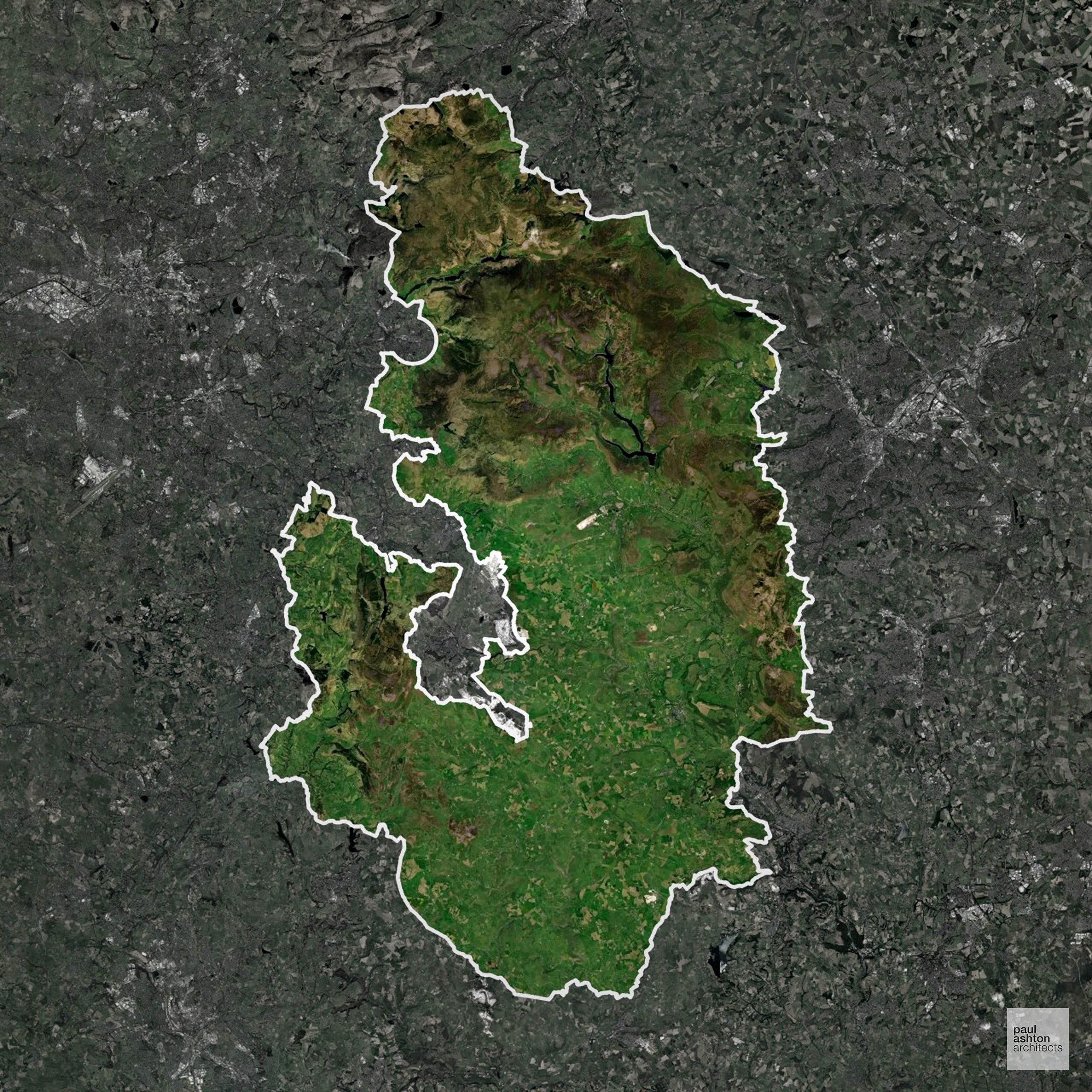
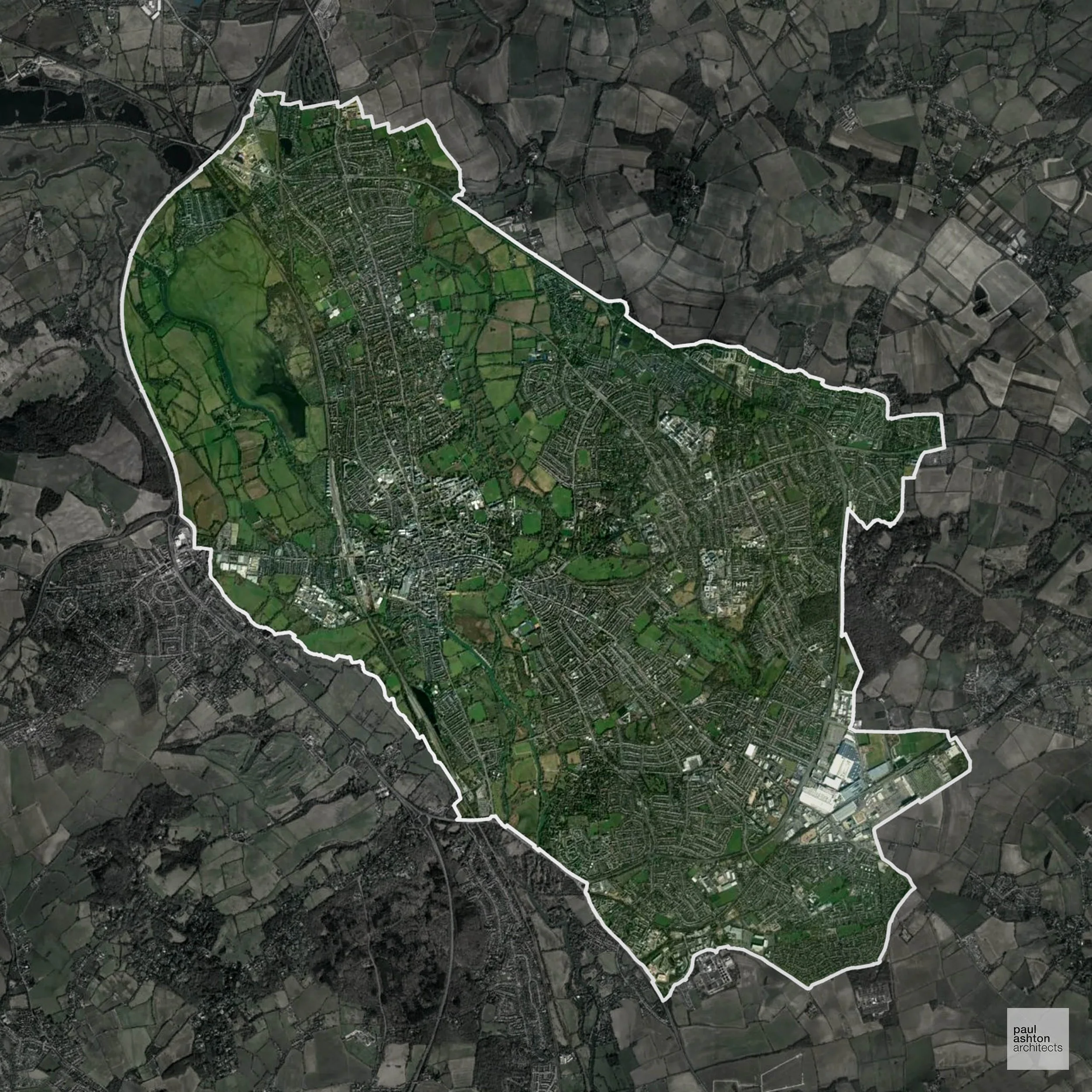
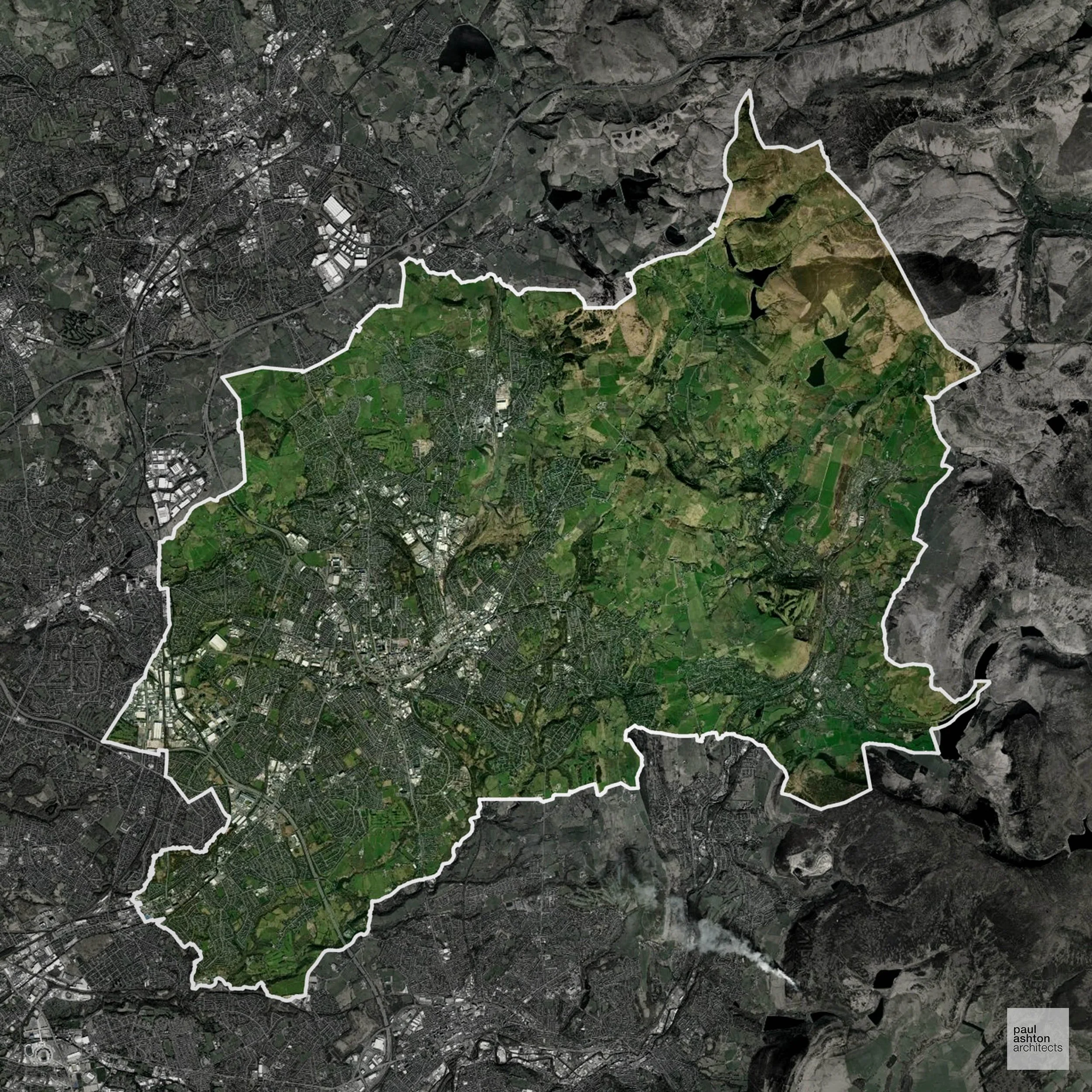
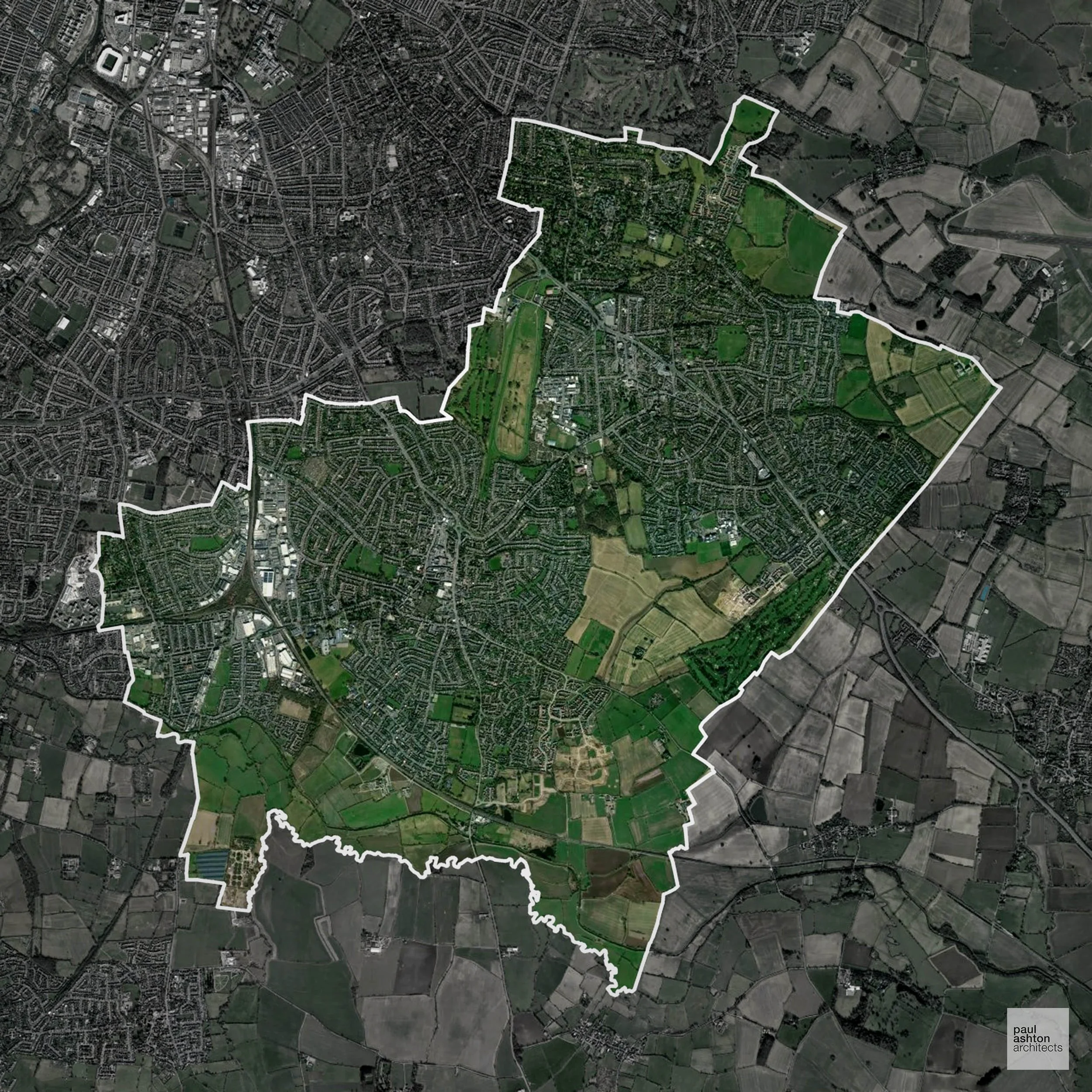
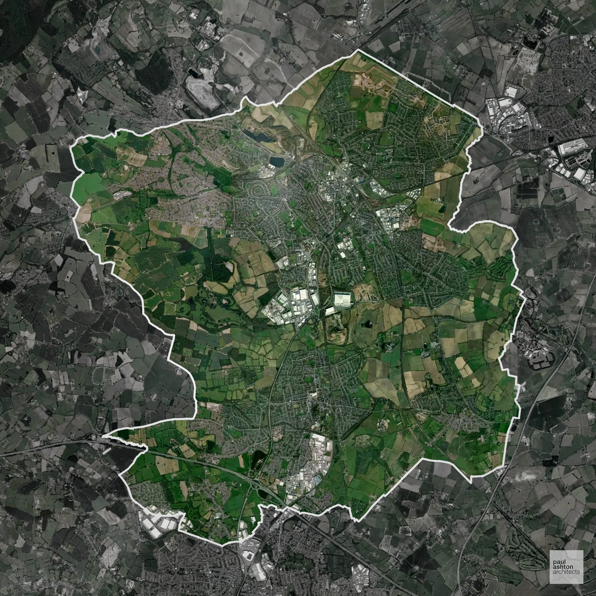
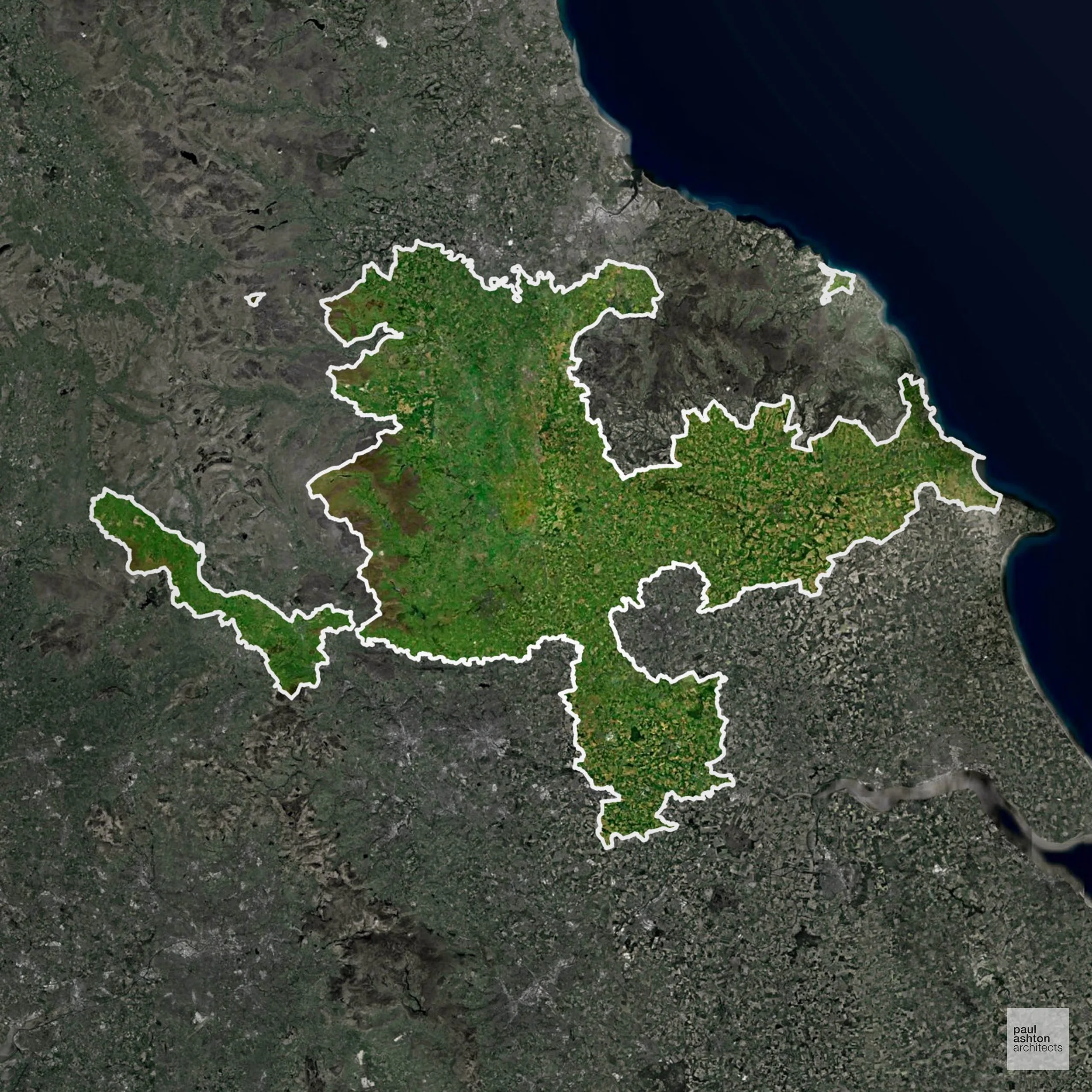
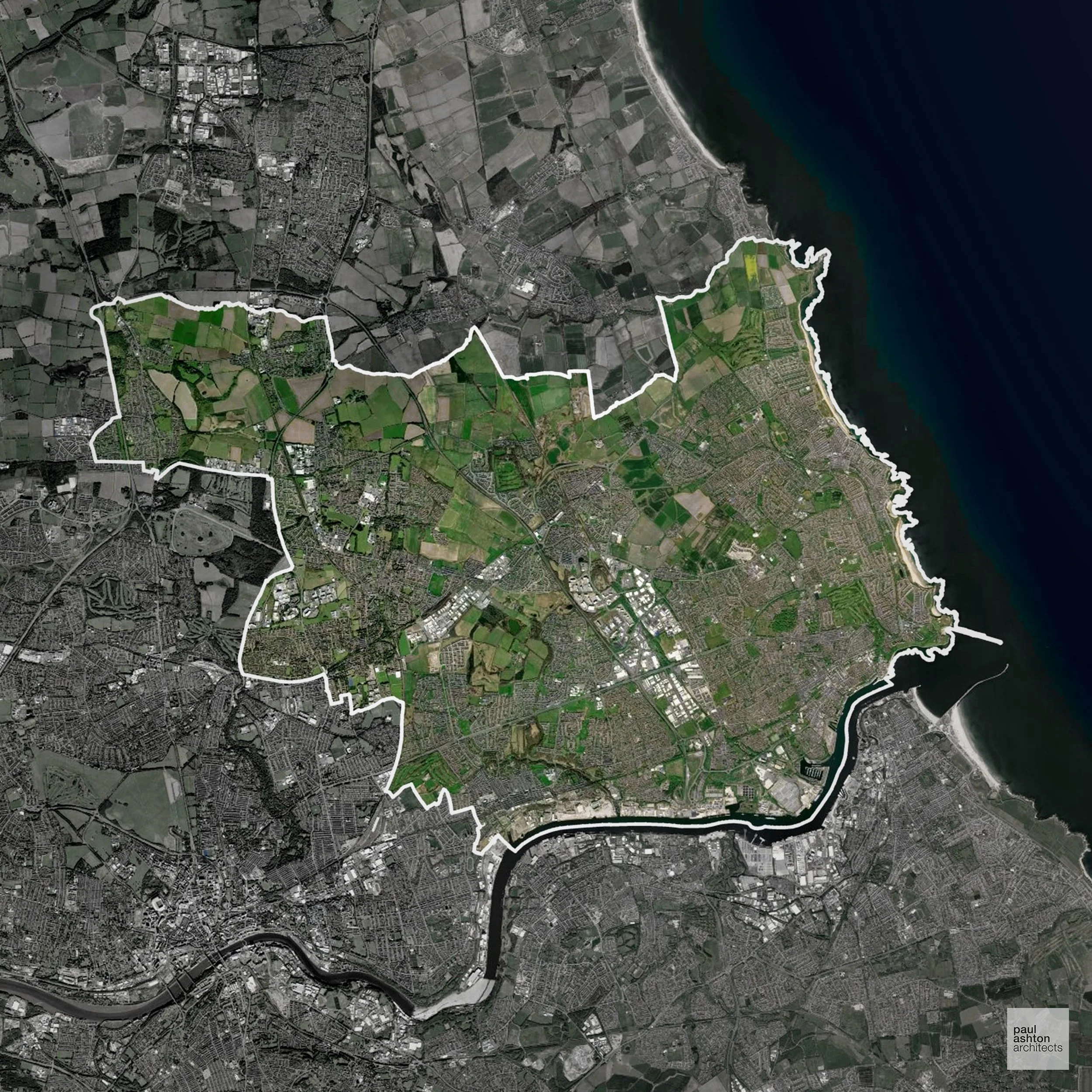
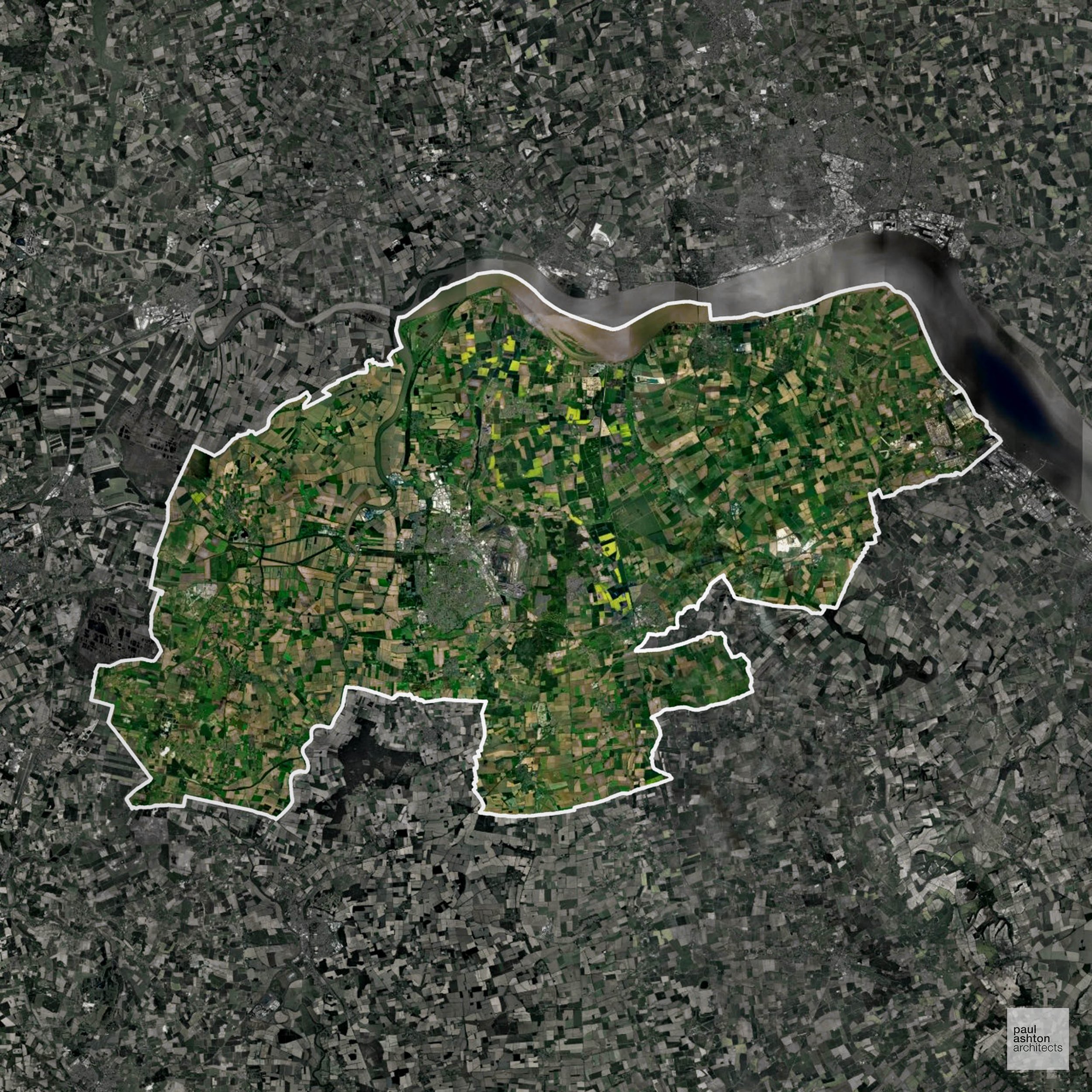
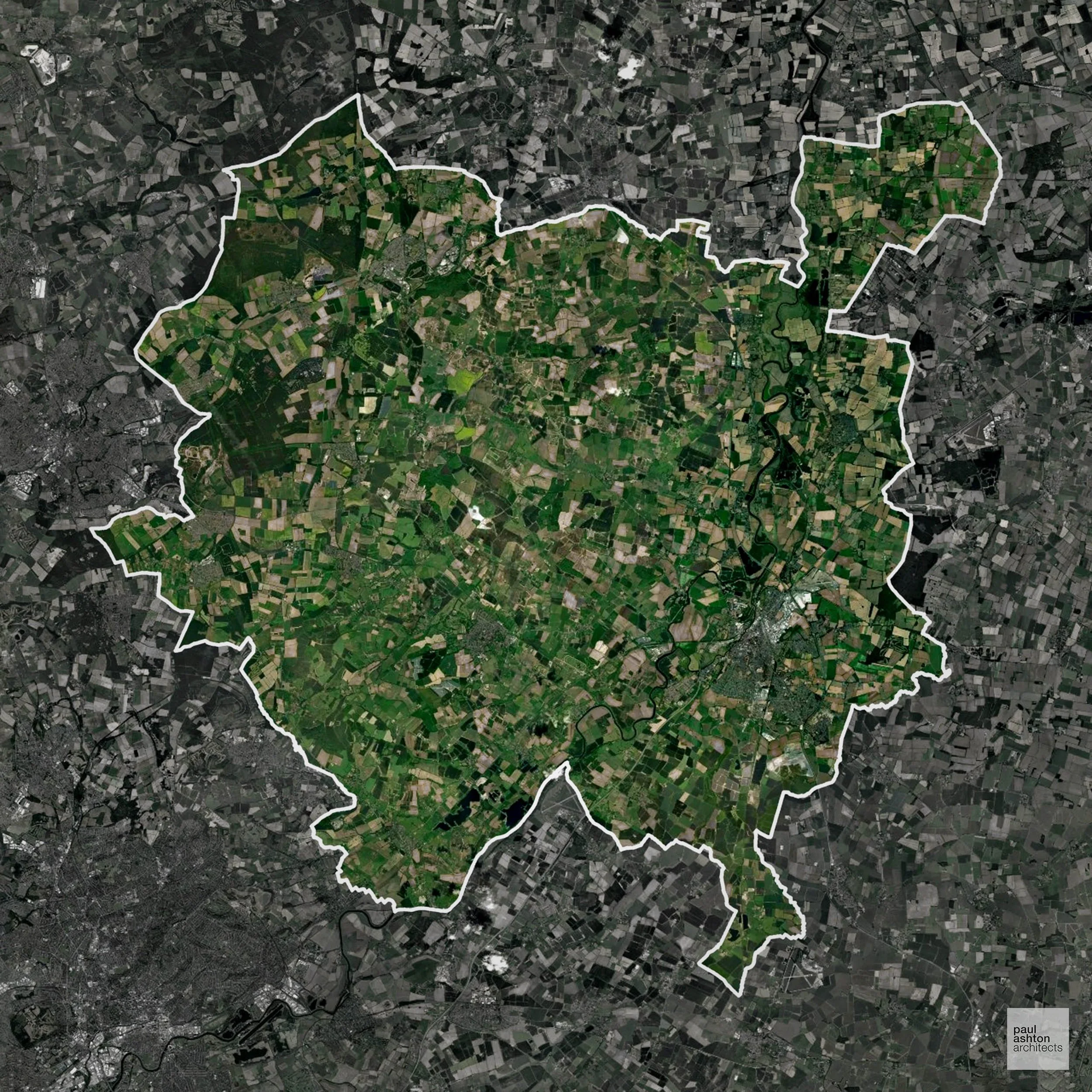
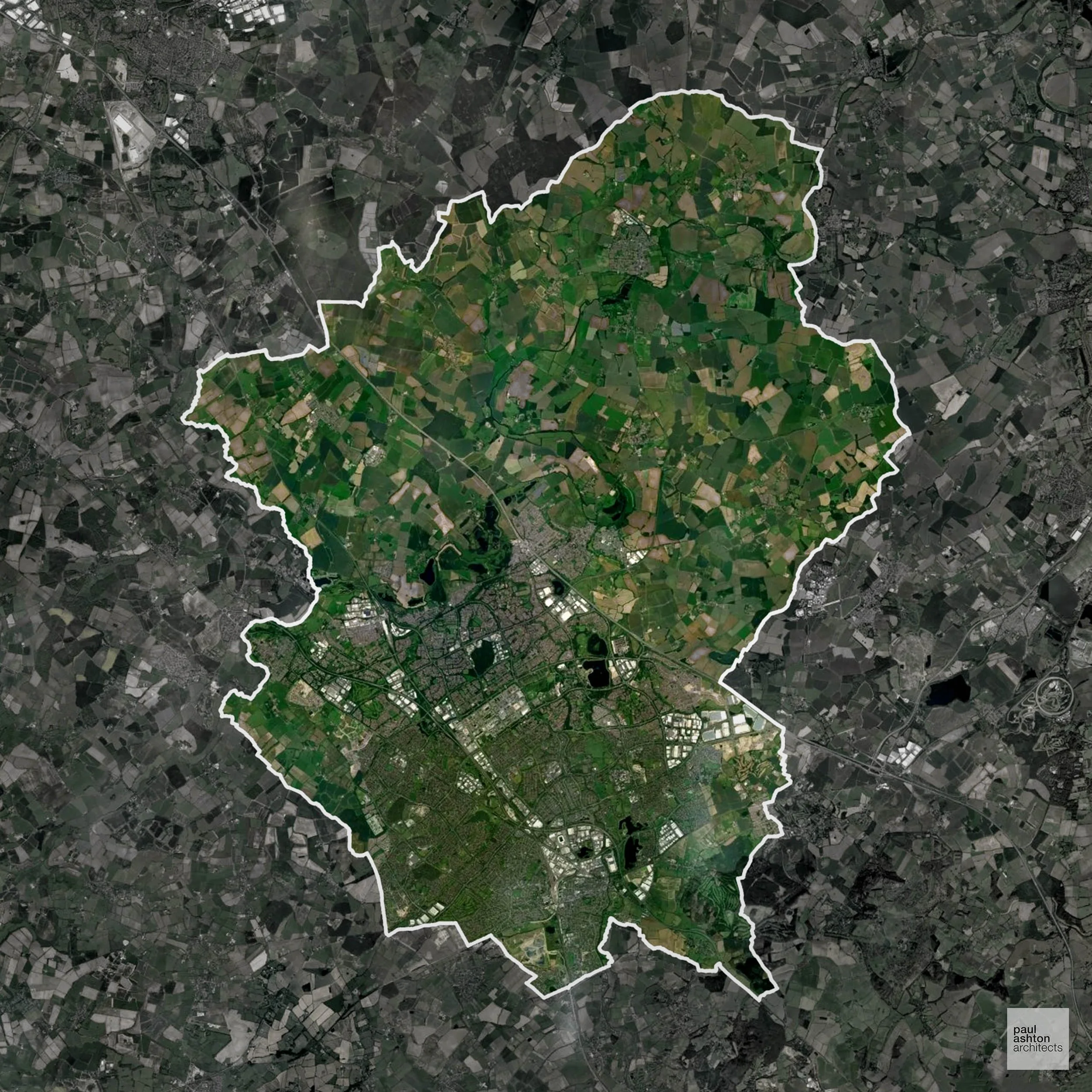
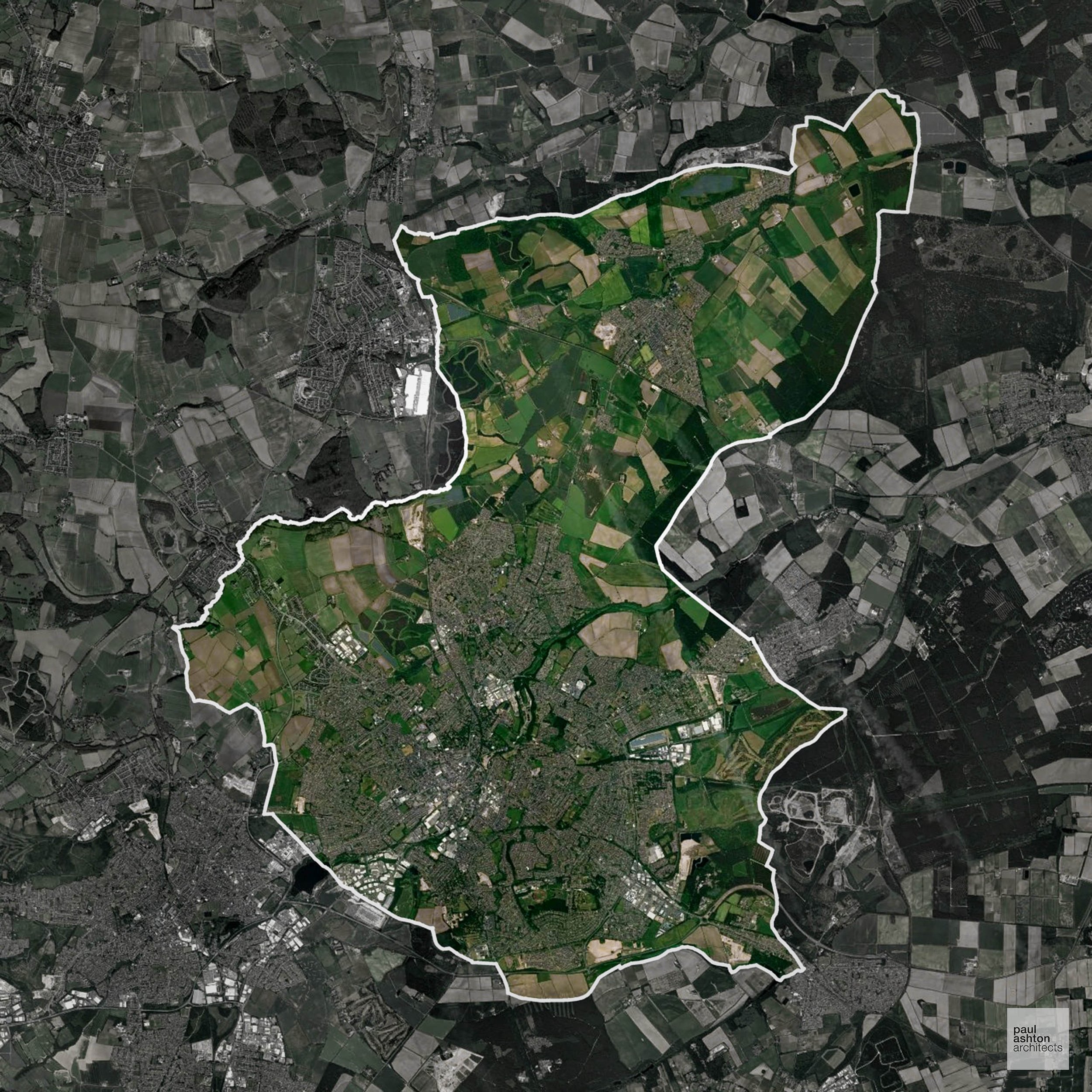
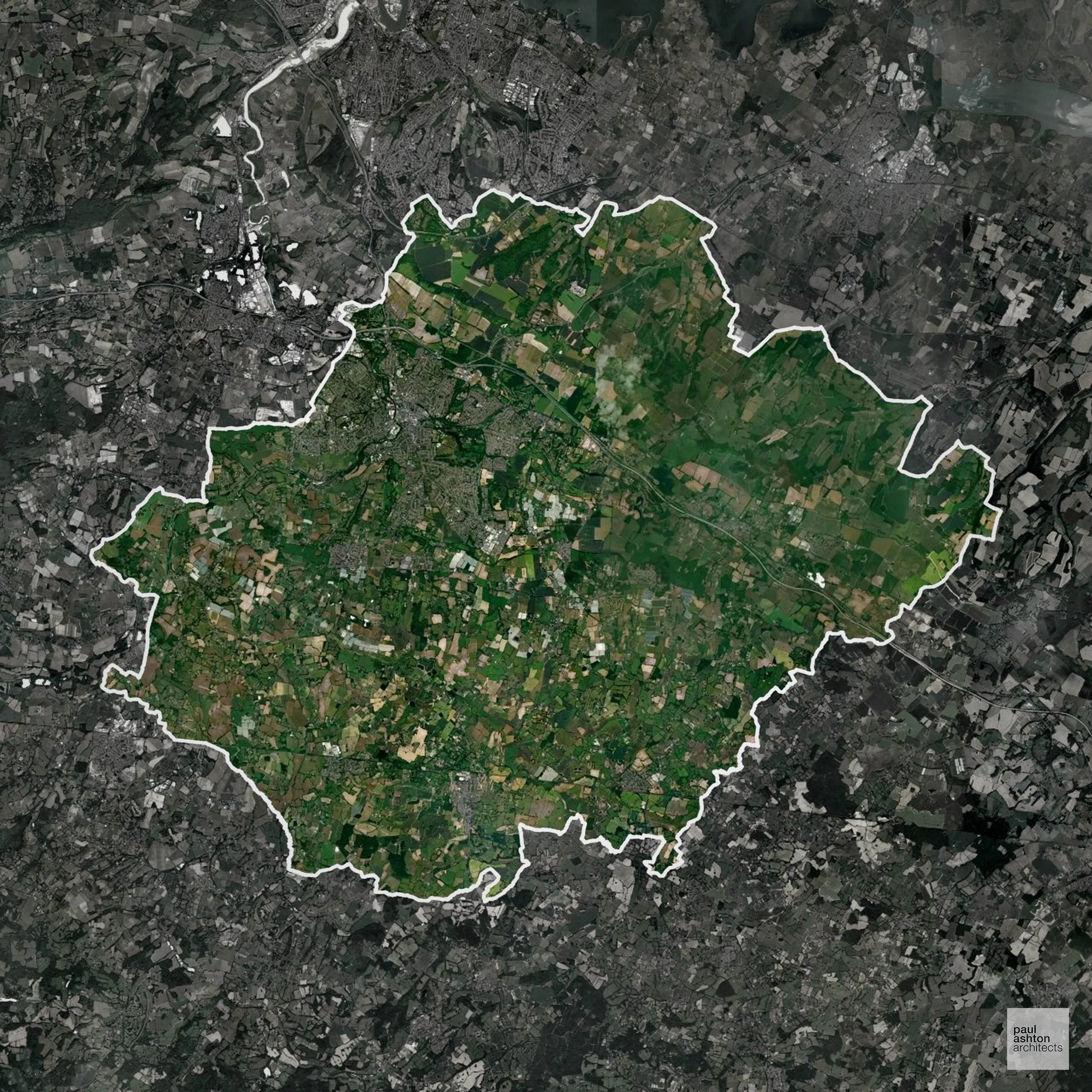
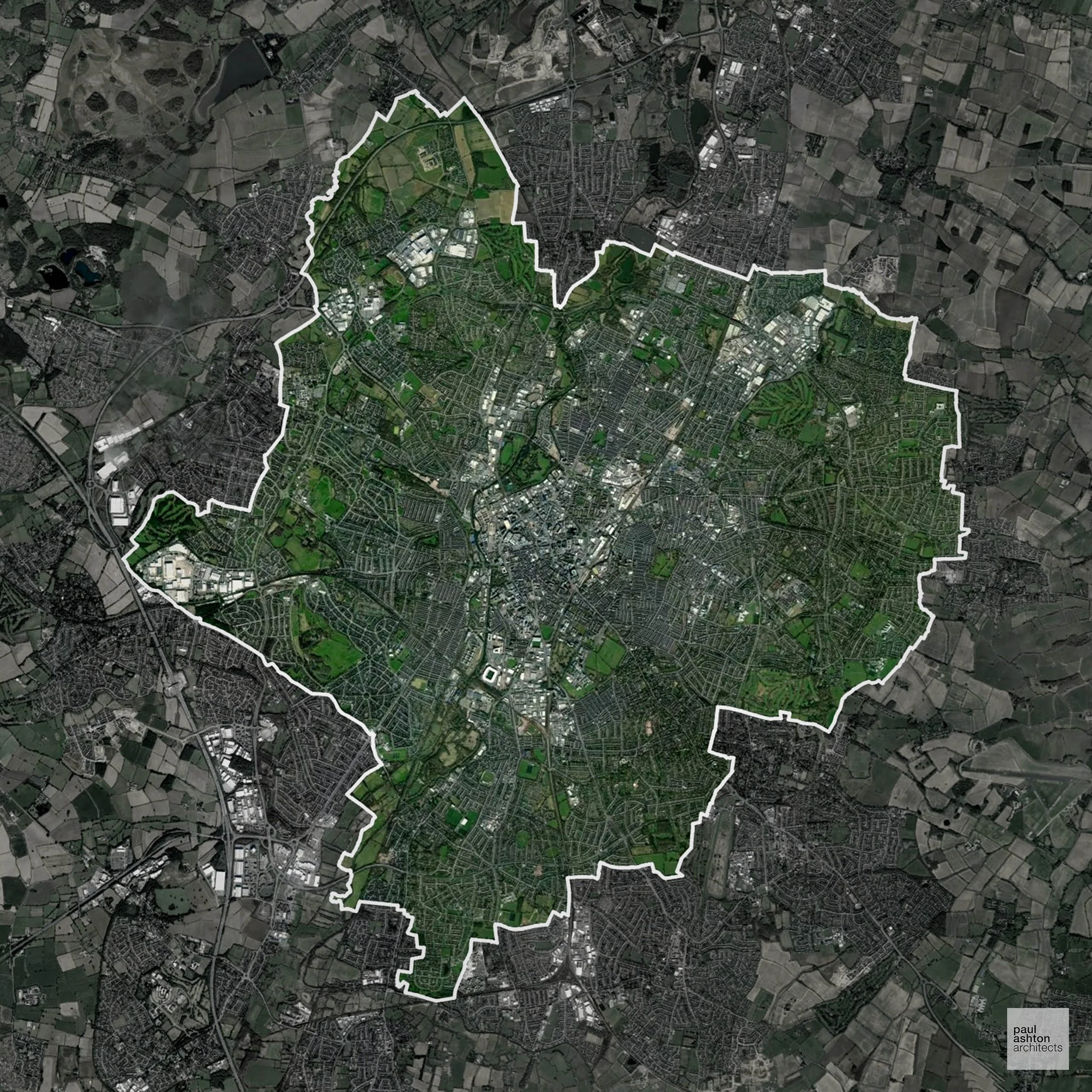
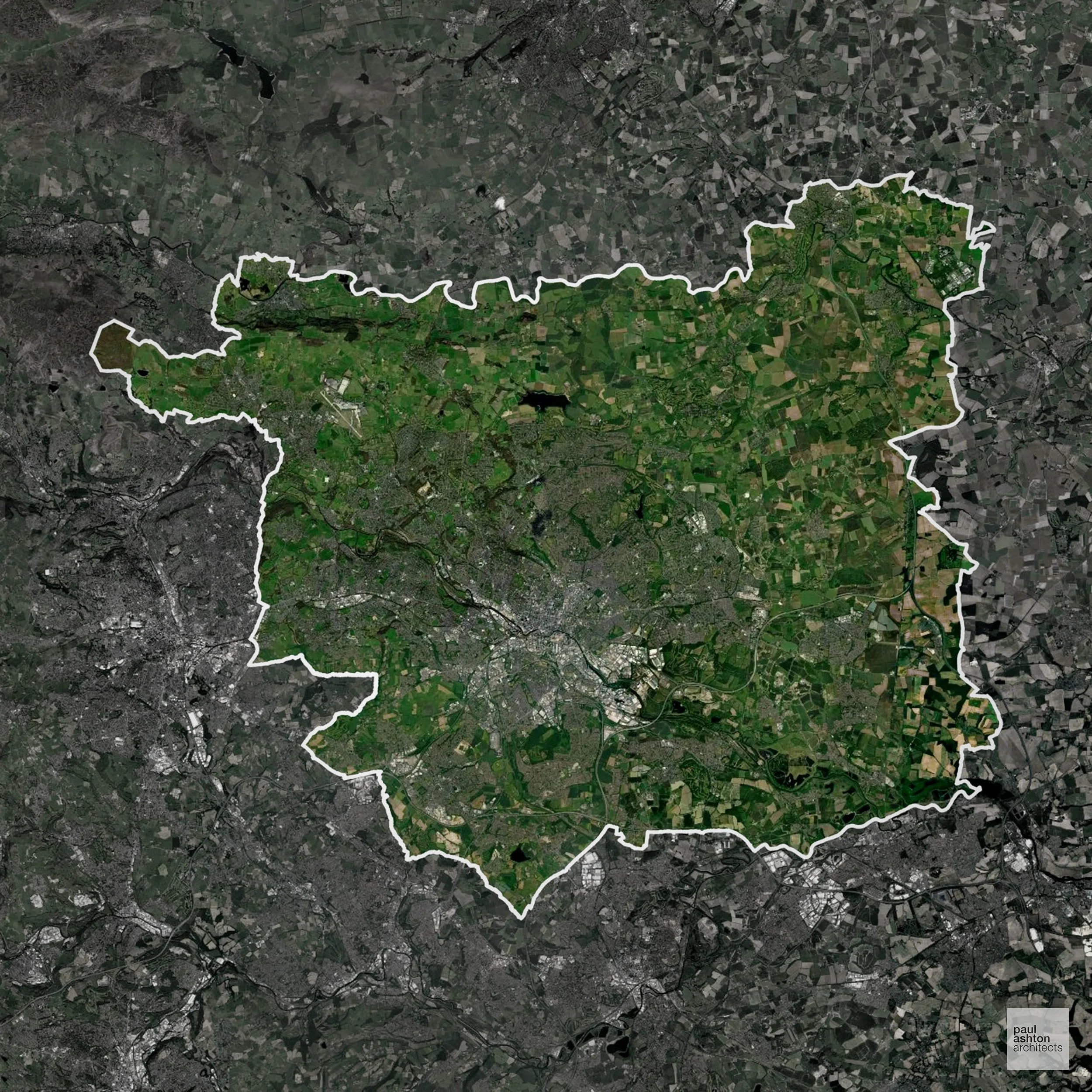
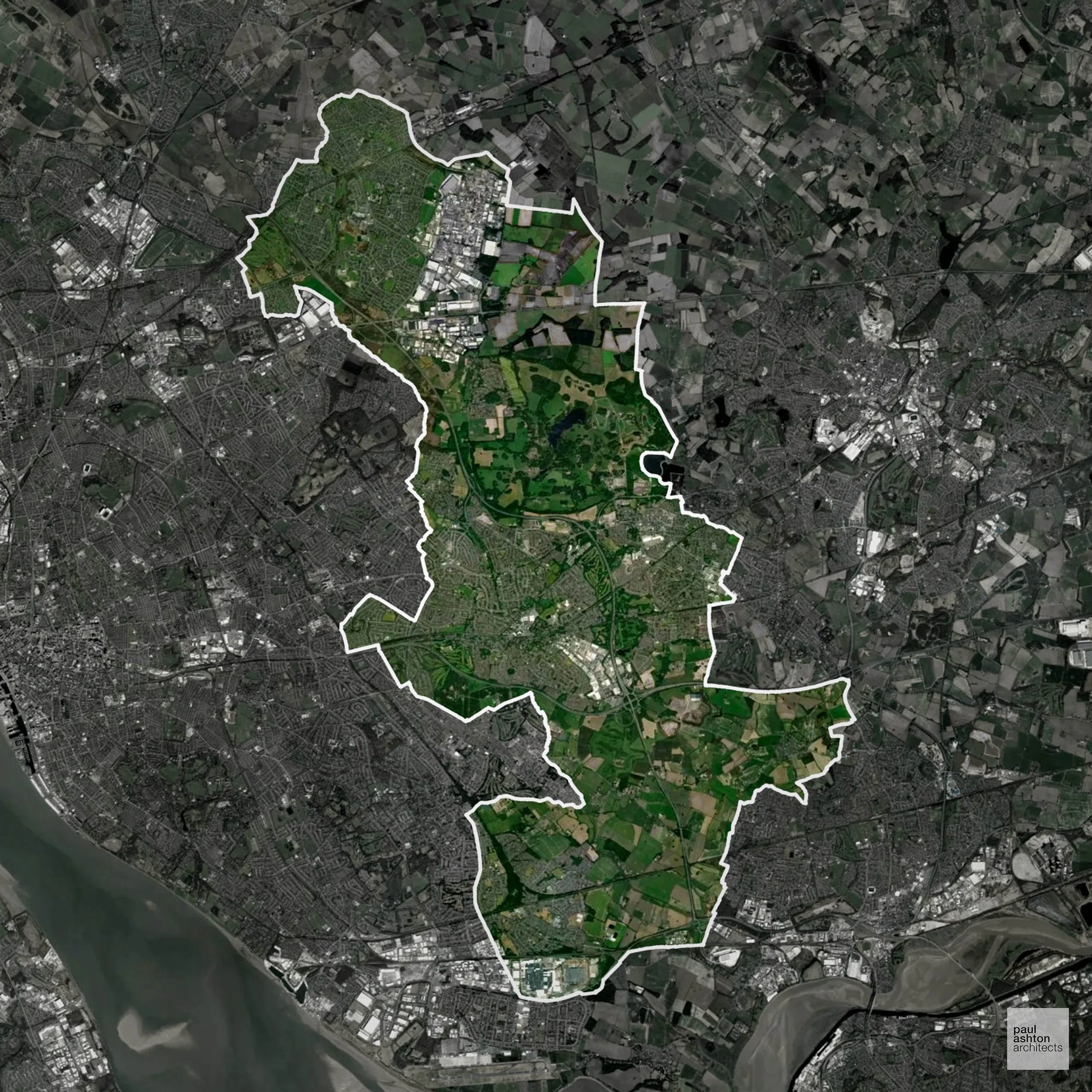
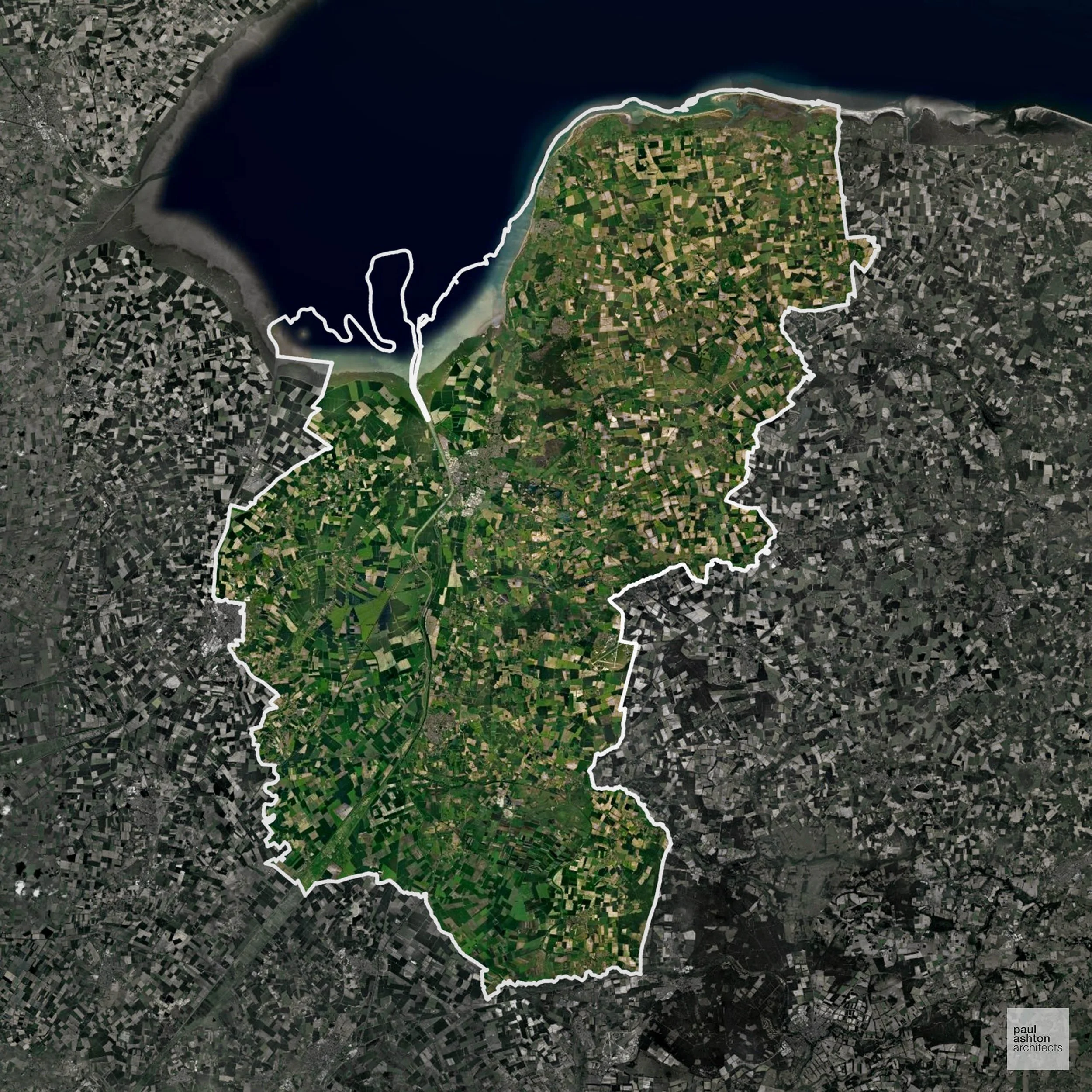
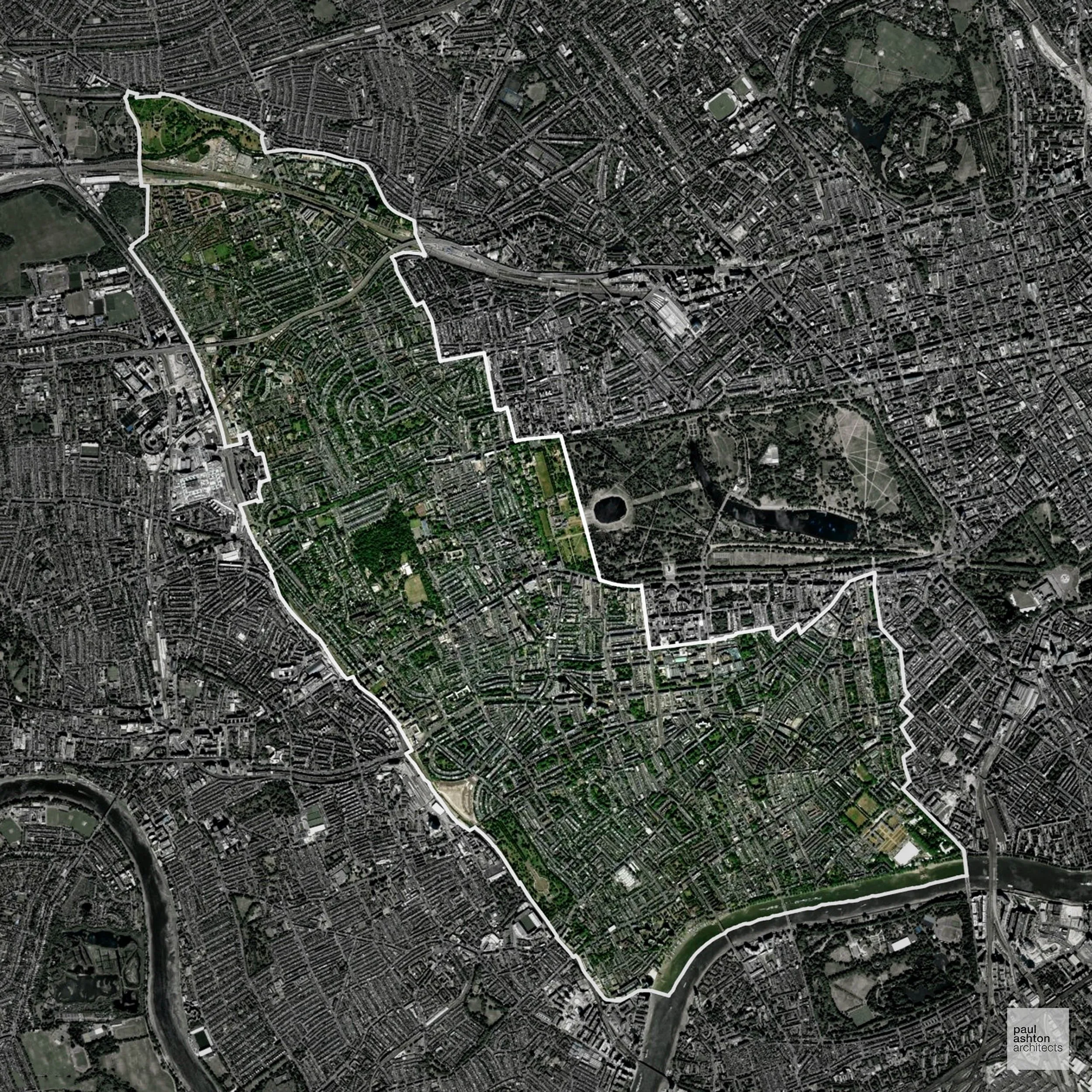
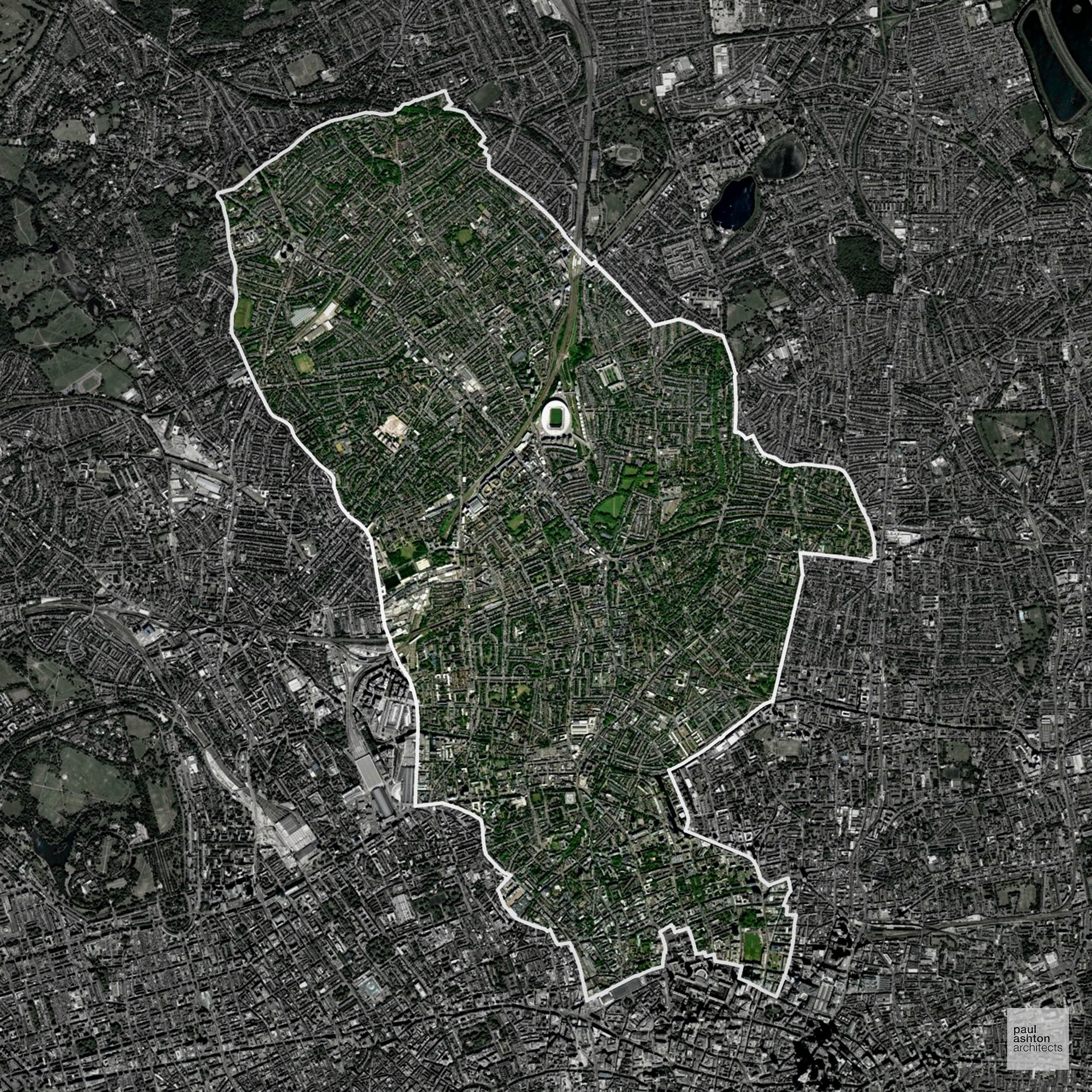
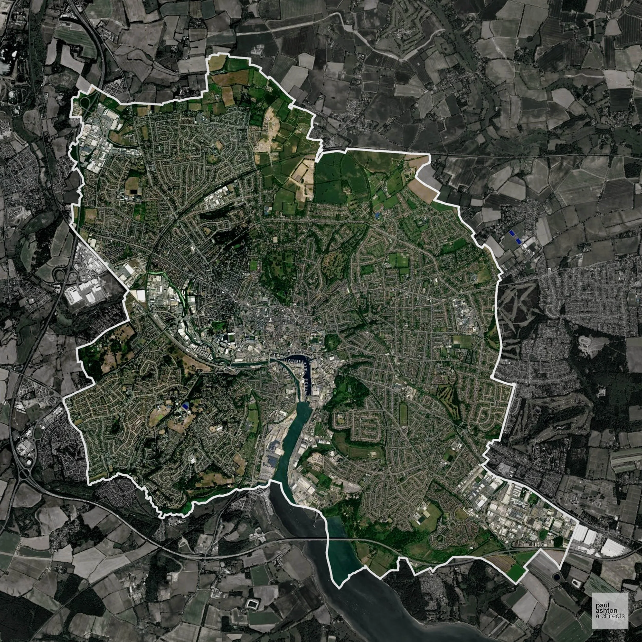
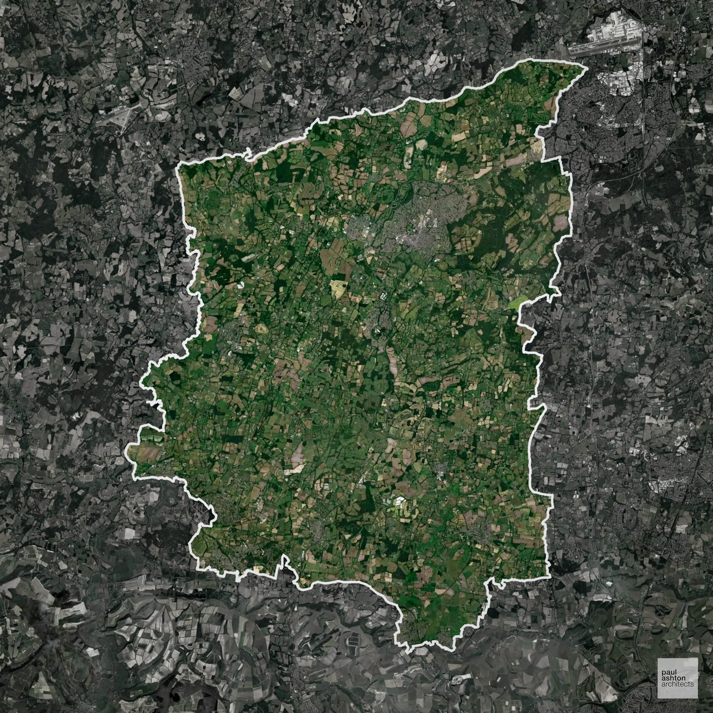
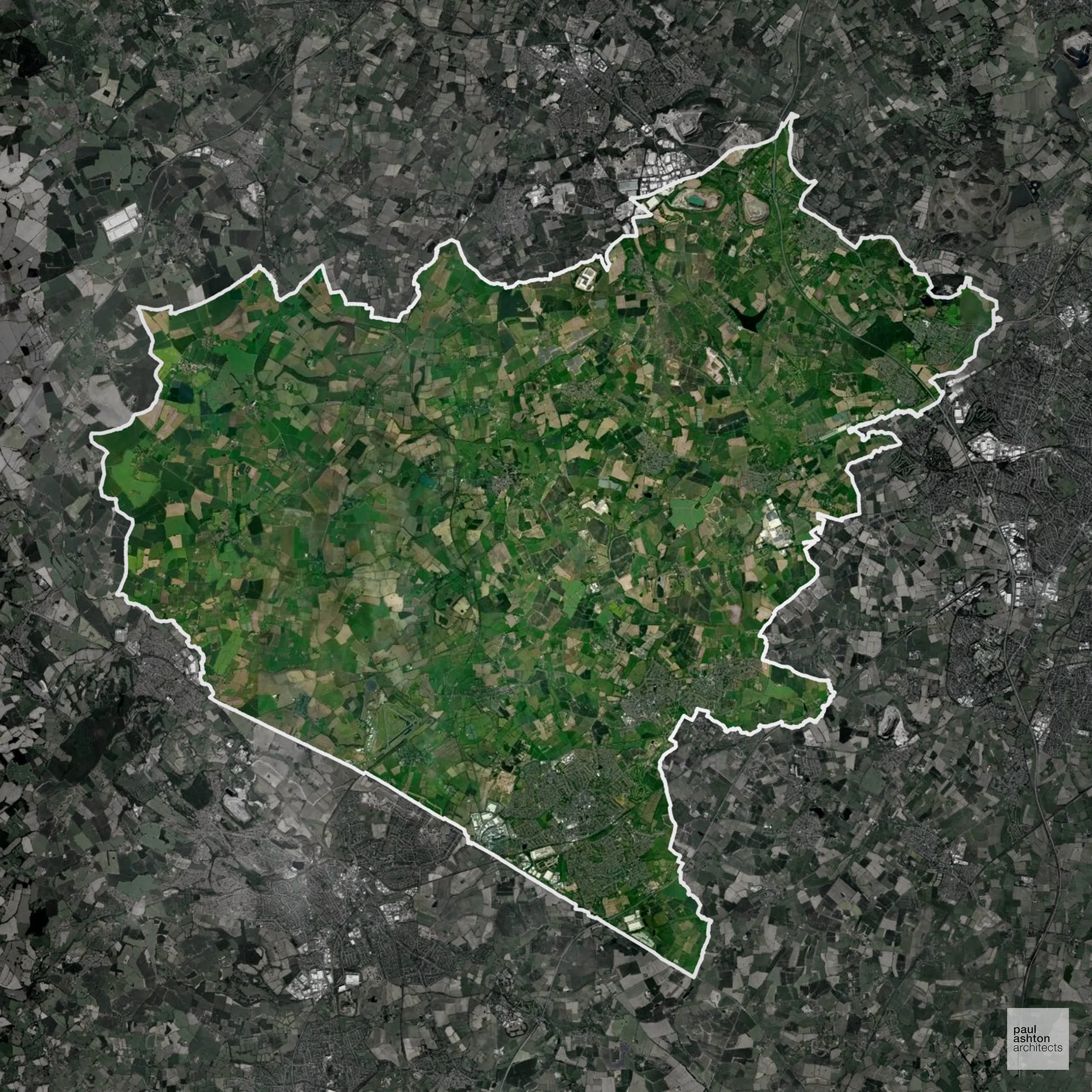
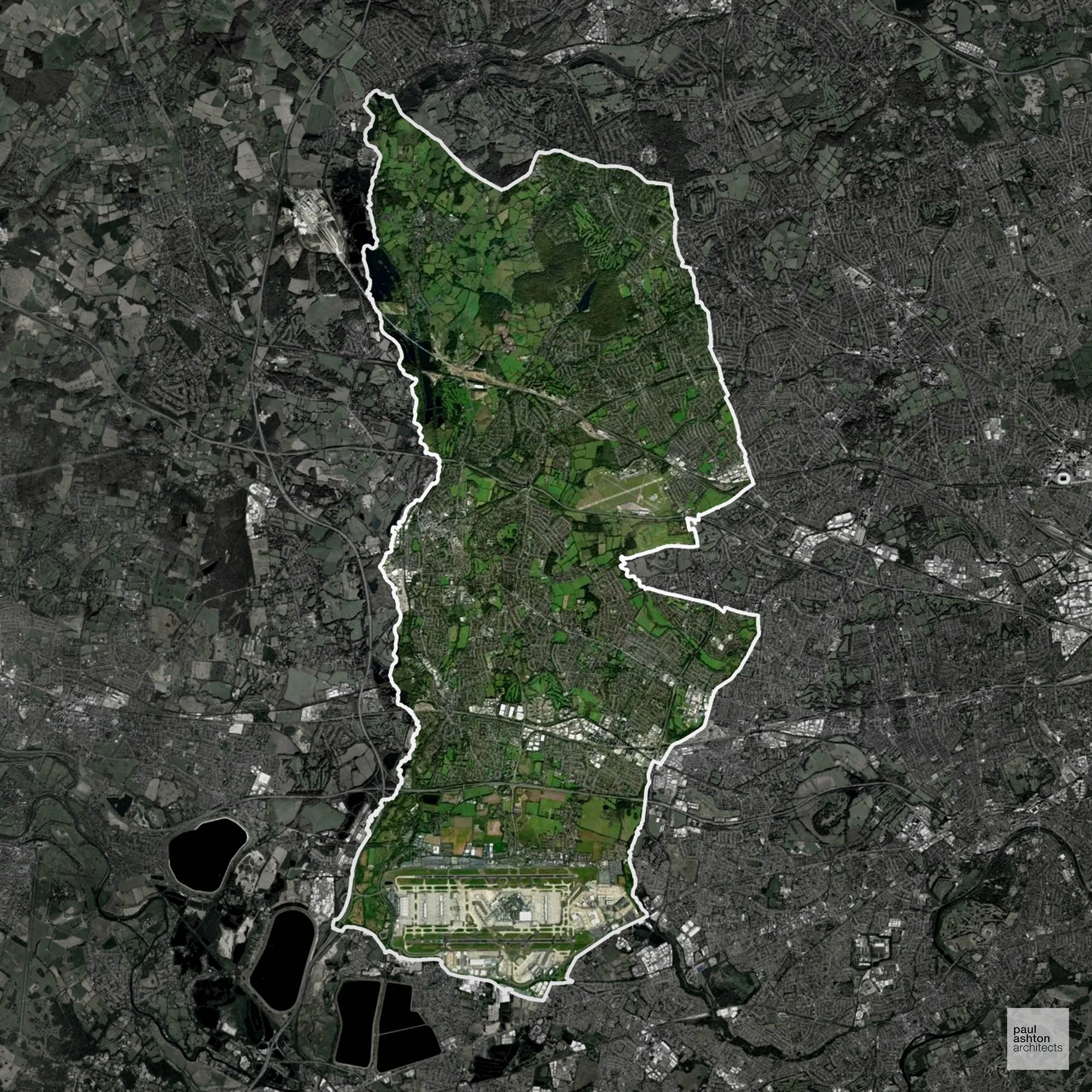
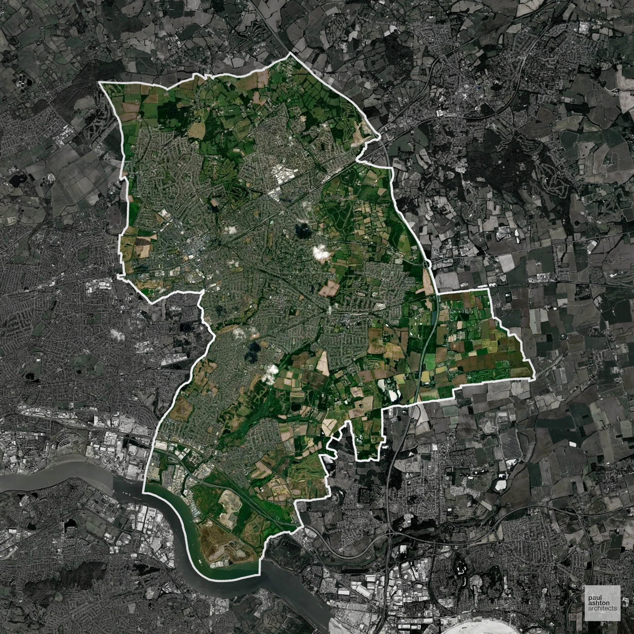
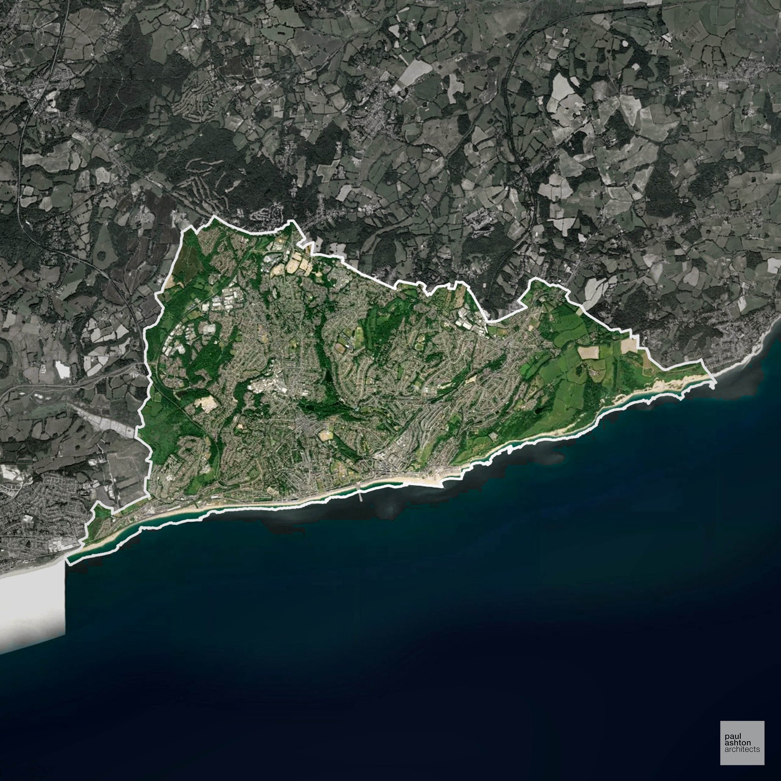
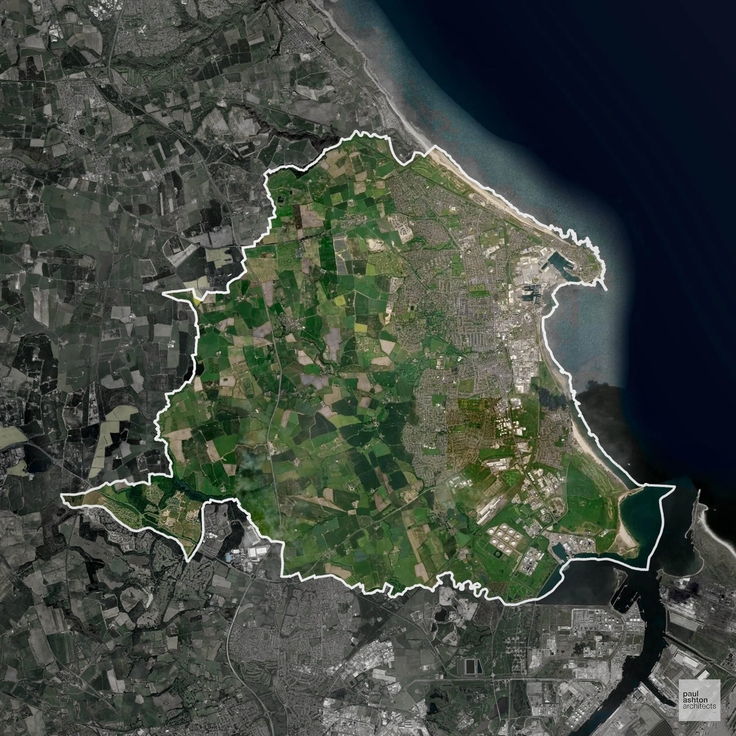
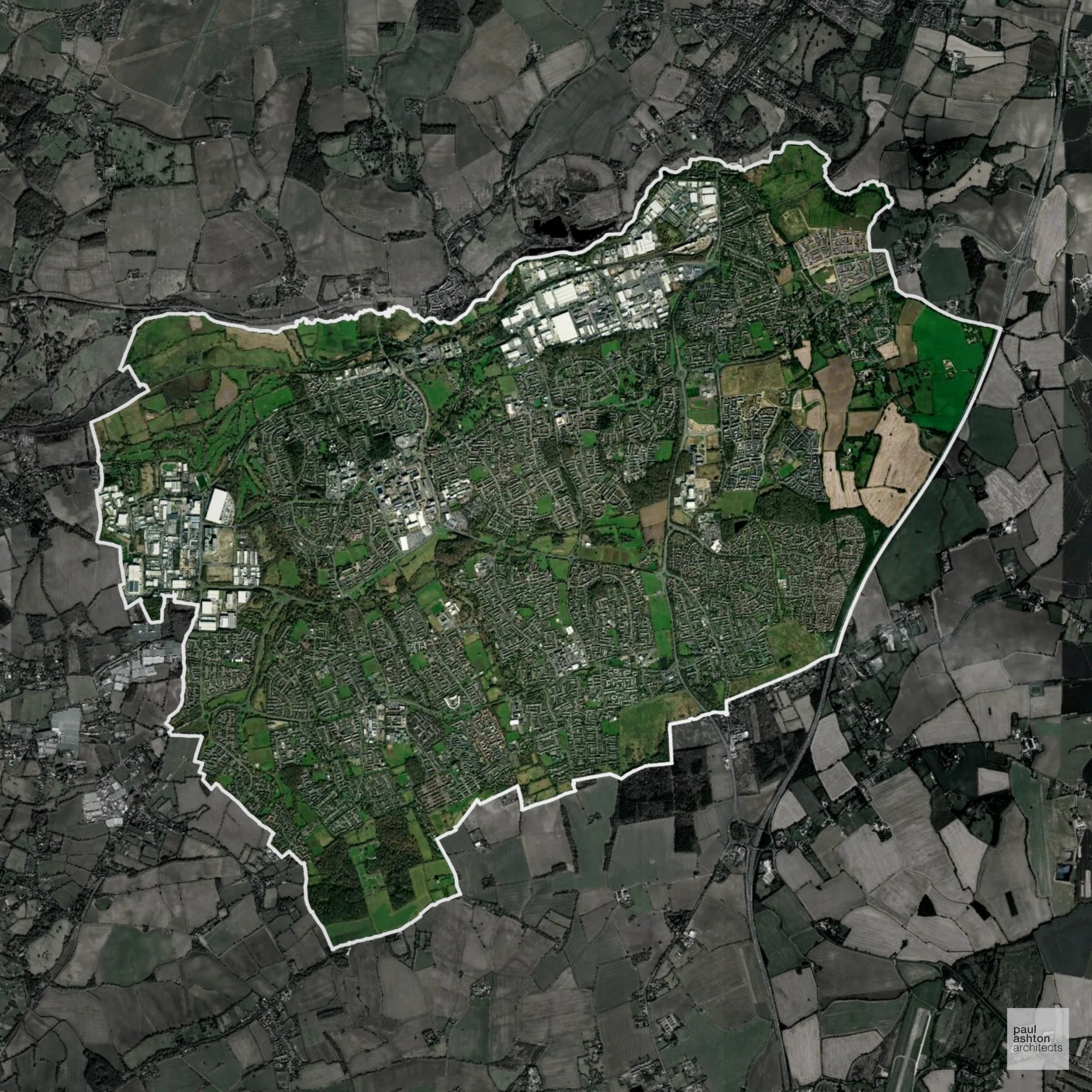
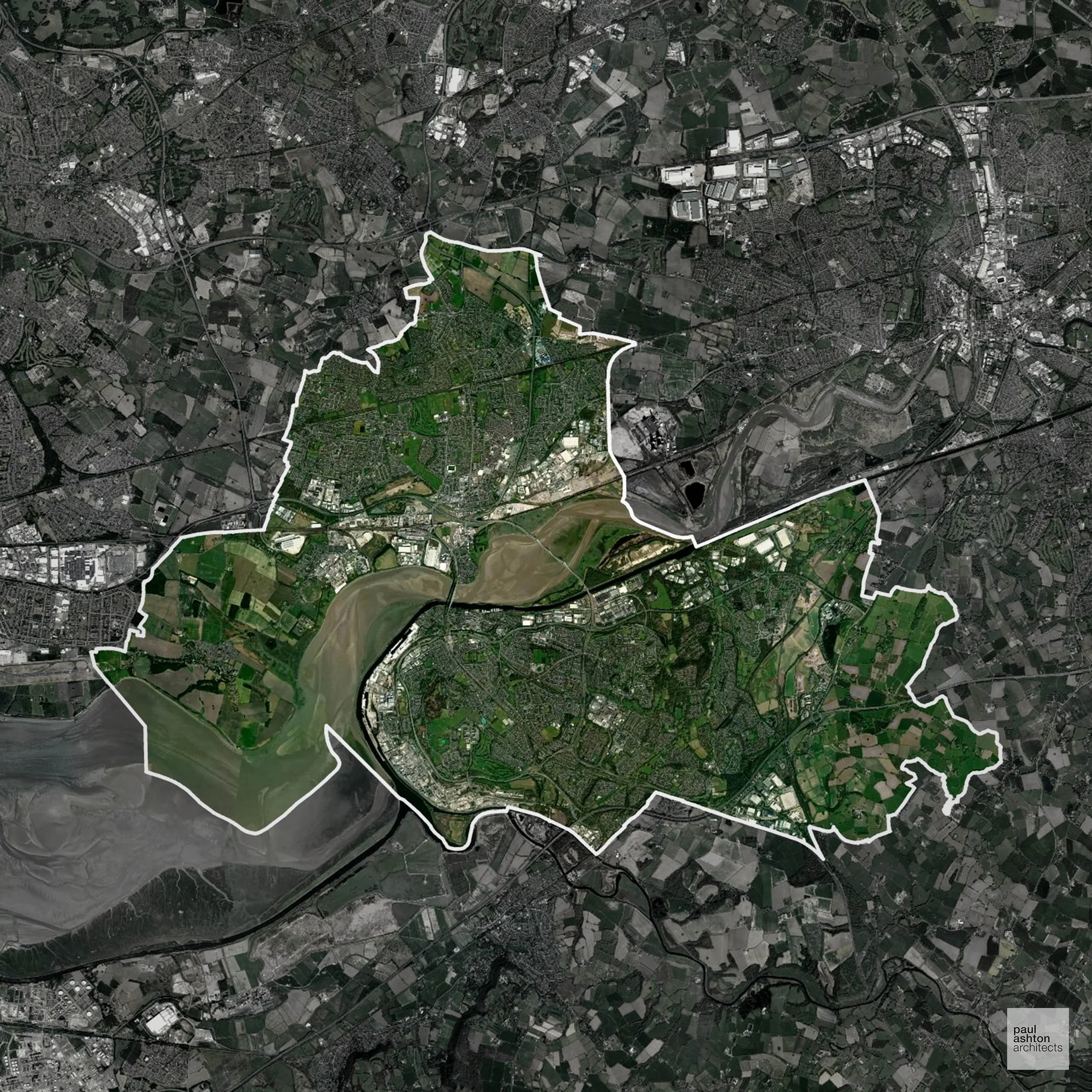
York includes the city centre, Acomb, and Fulford. About 80.5% of the district is Green Belt, framing settlements and protecting villages extensively. Known for its medieval streets, historic walls, and heritage buildings, planning focuses on residential, commercial, and conversion projects.
In the last year York decided 1,243 applications which is well above the national average of 988. The approval rate was 84% (roughly equal to the national average of 88%) and 64% of applications were decided on time, (slightly above the national average of 59%). Stats updated March 2026 from gov. sources. See how York performs relative to other LPAs in our LPA hub.
"We love helping clients win Planning Permission in York"
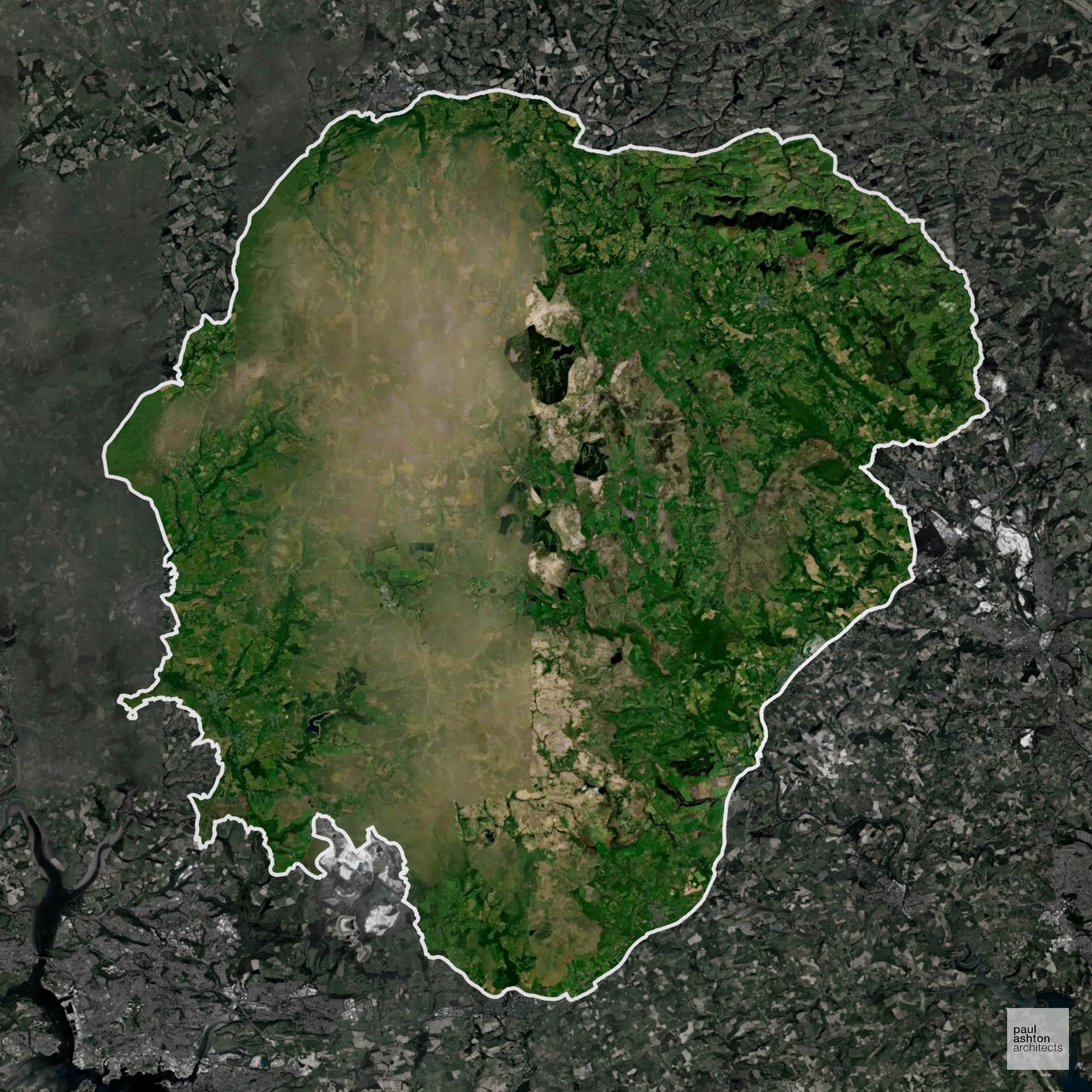
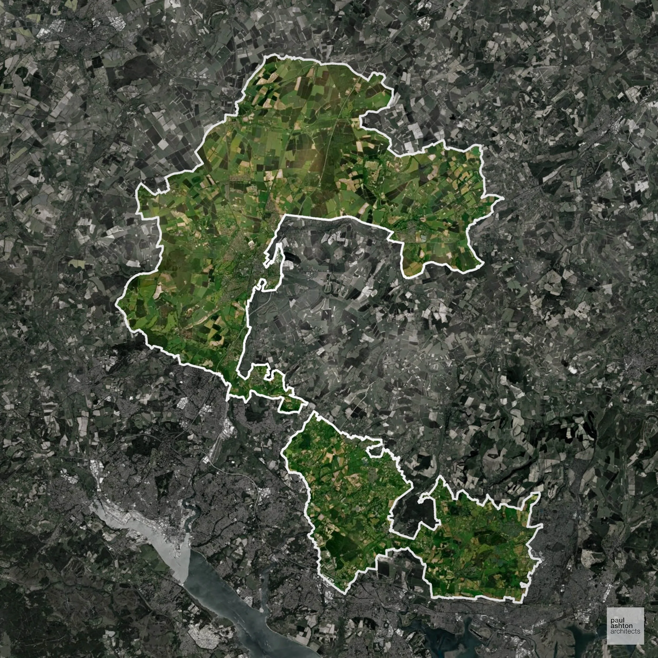
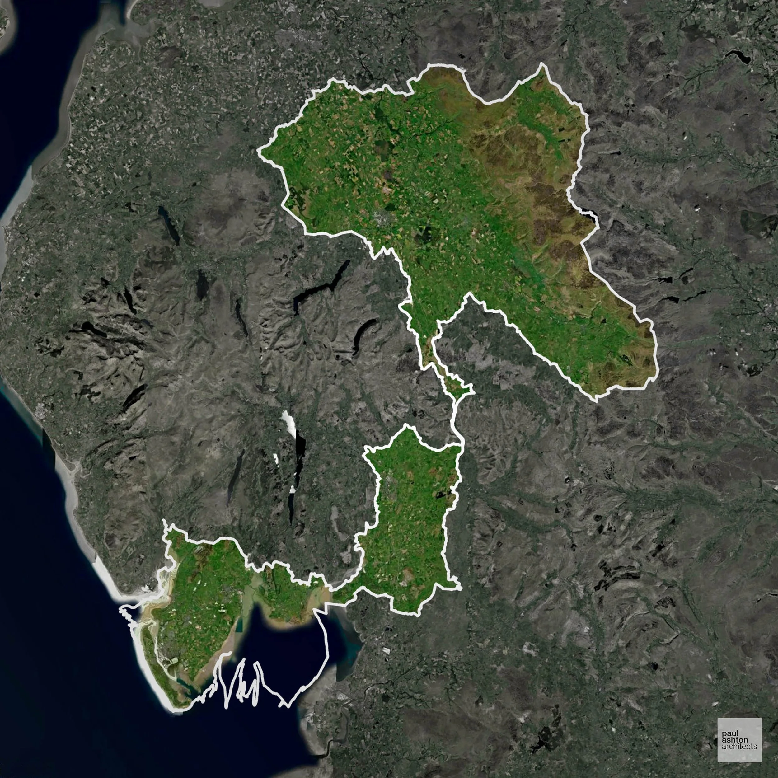
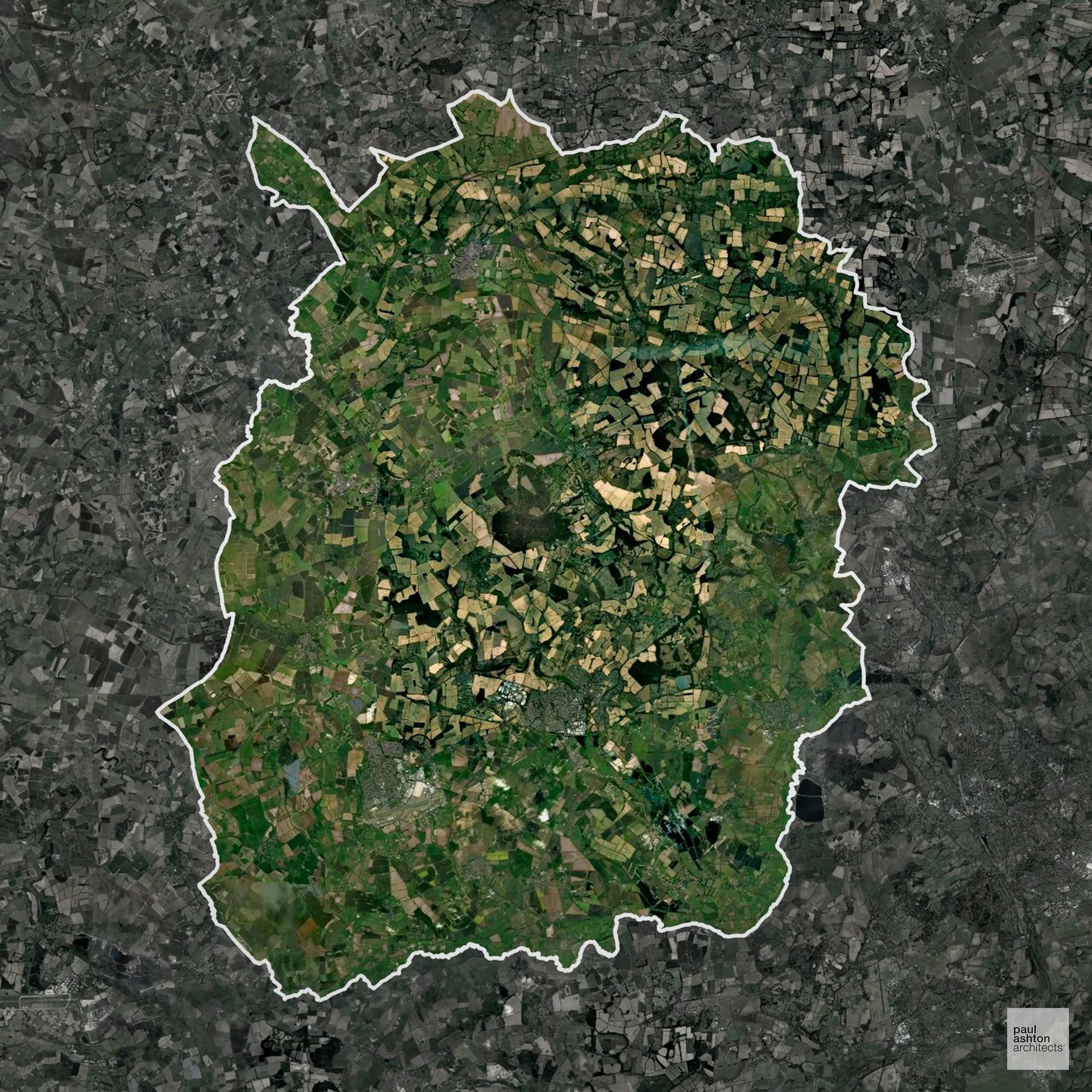
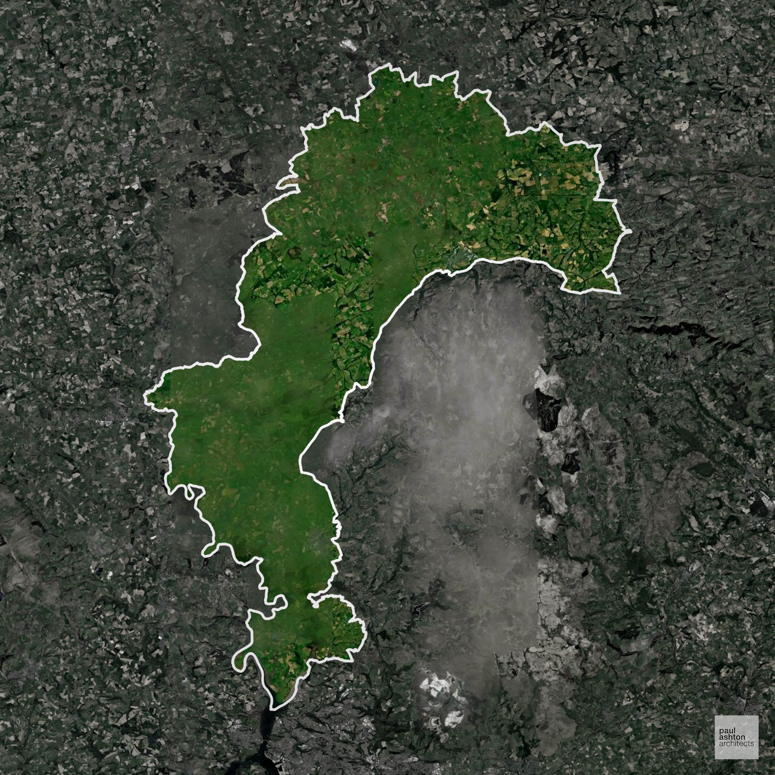
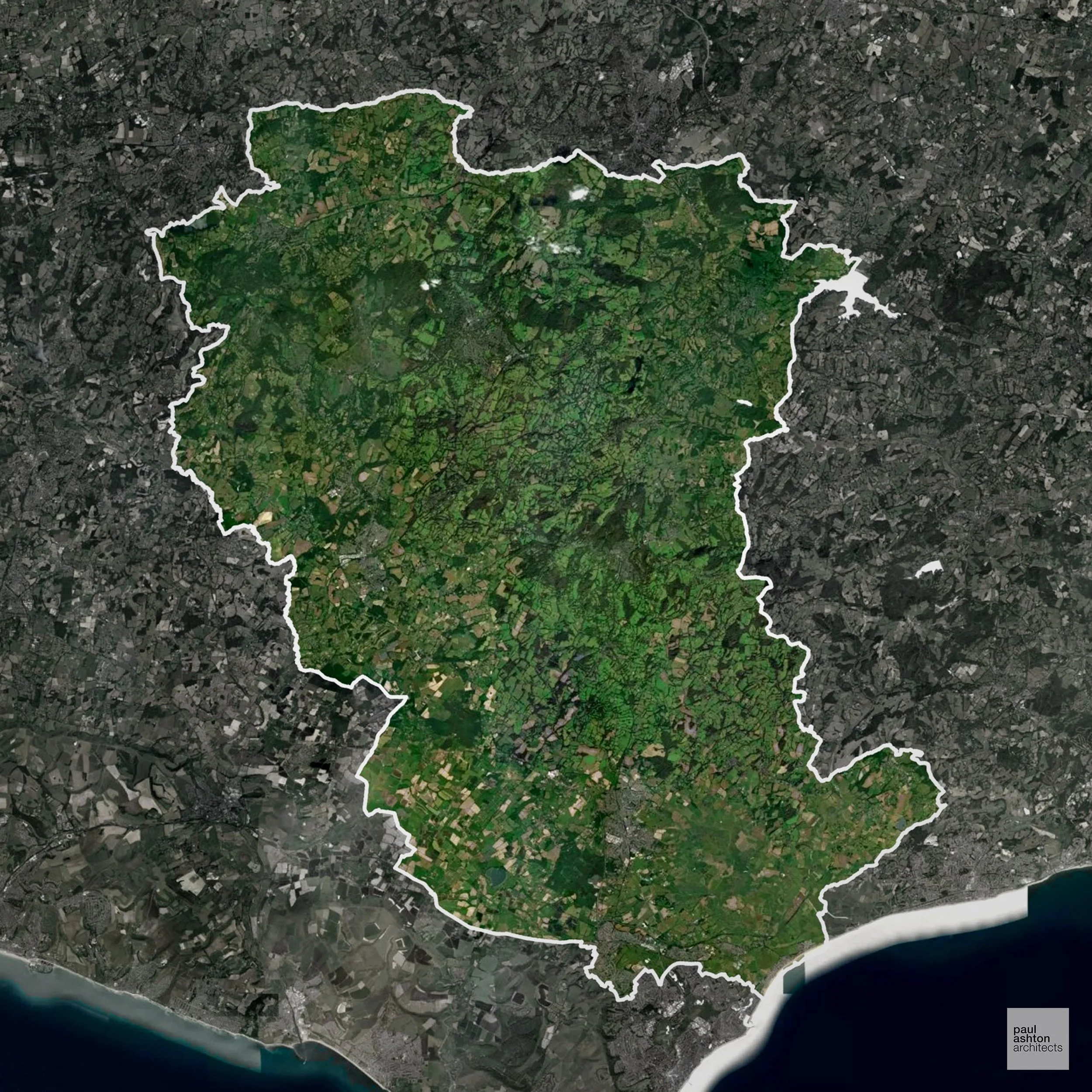
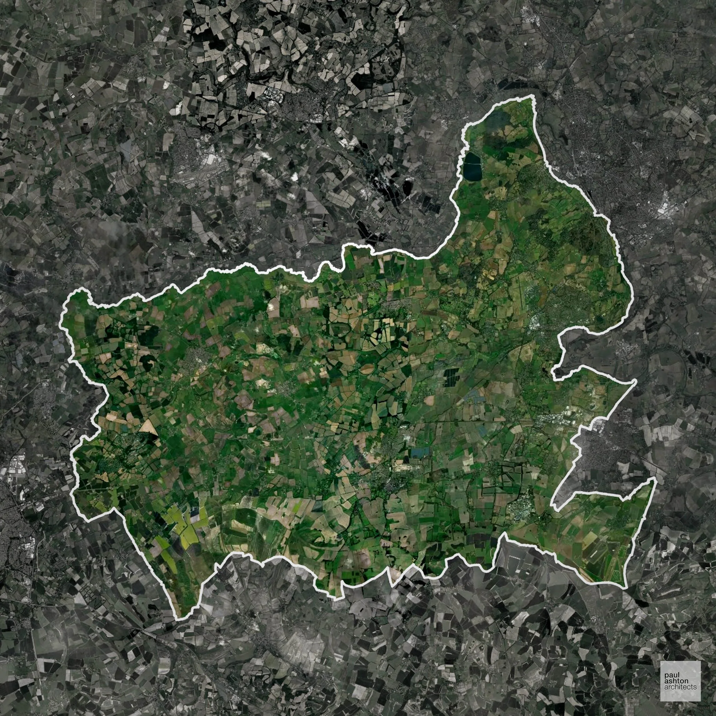
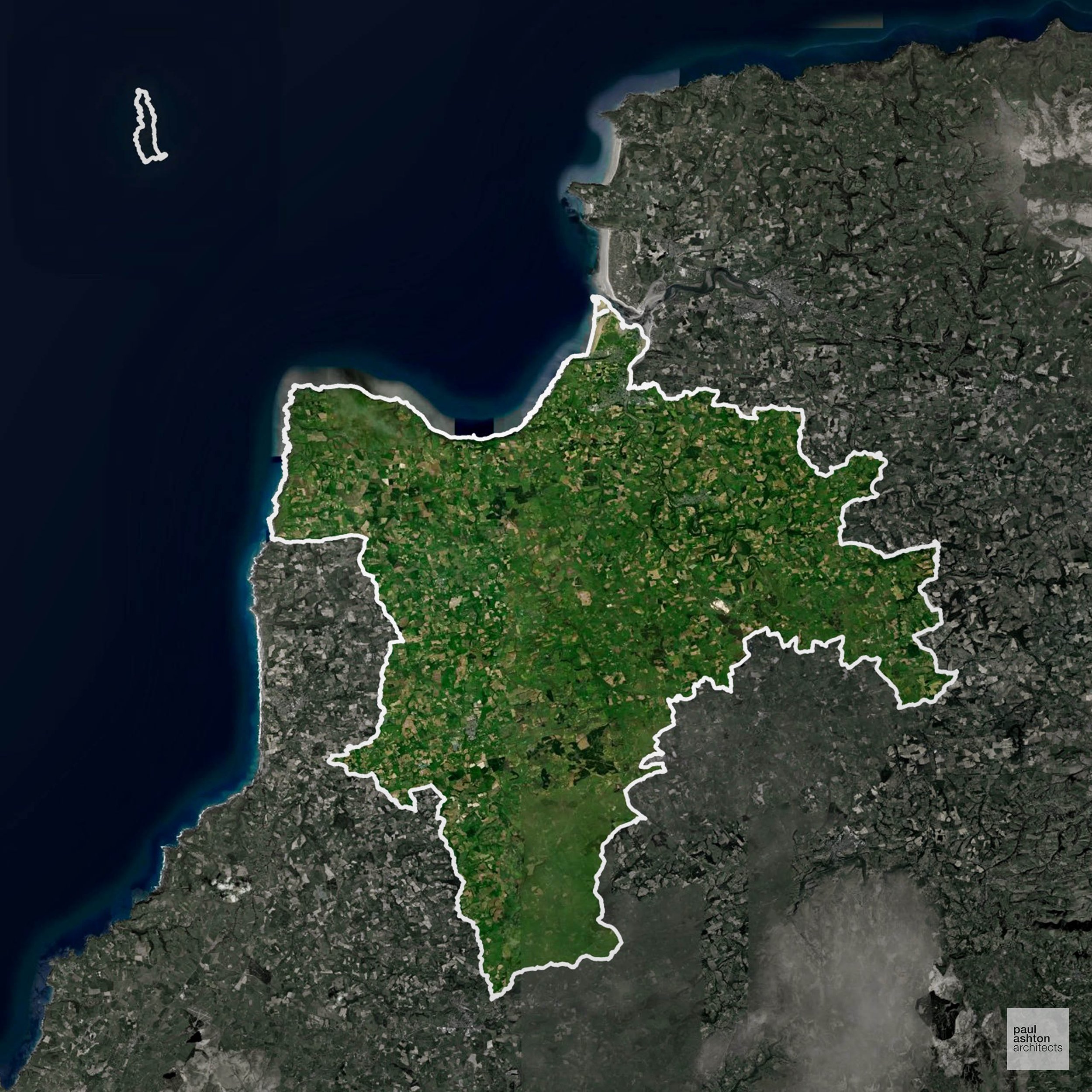
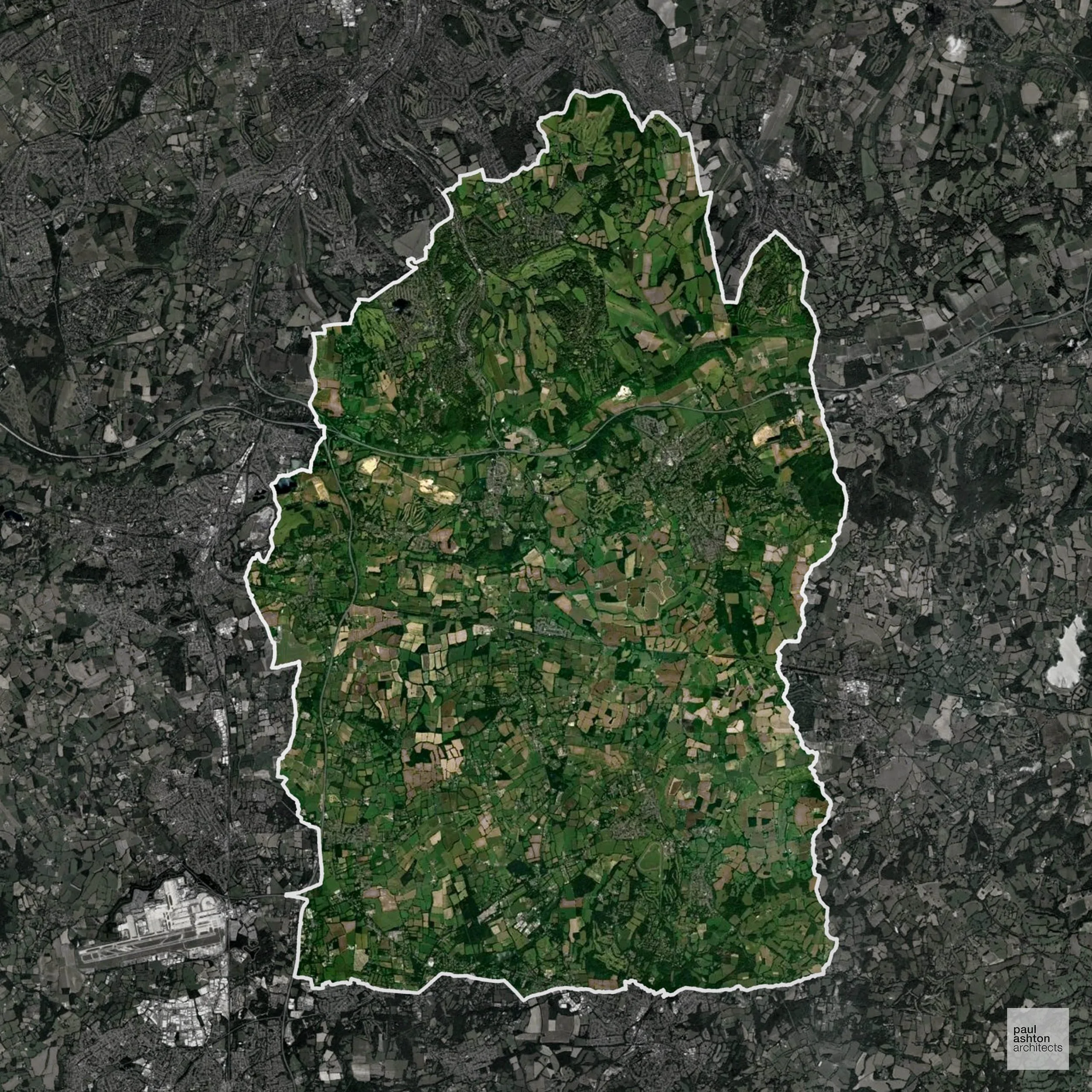
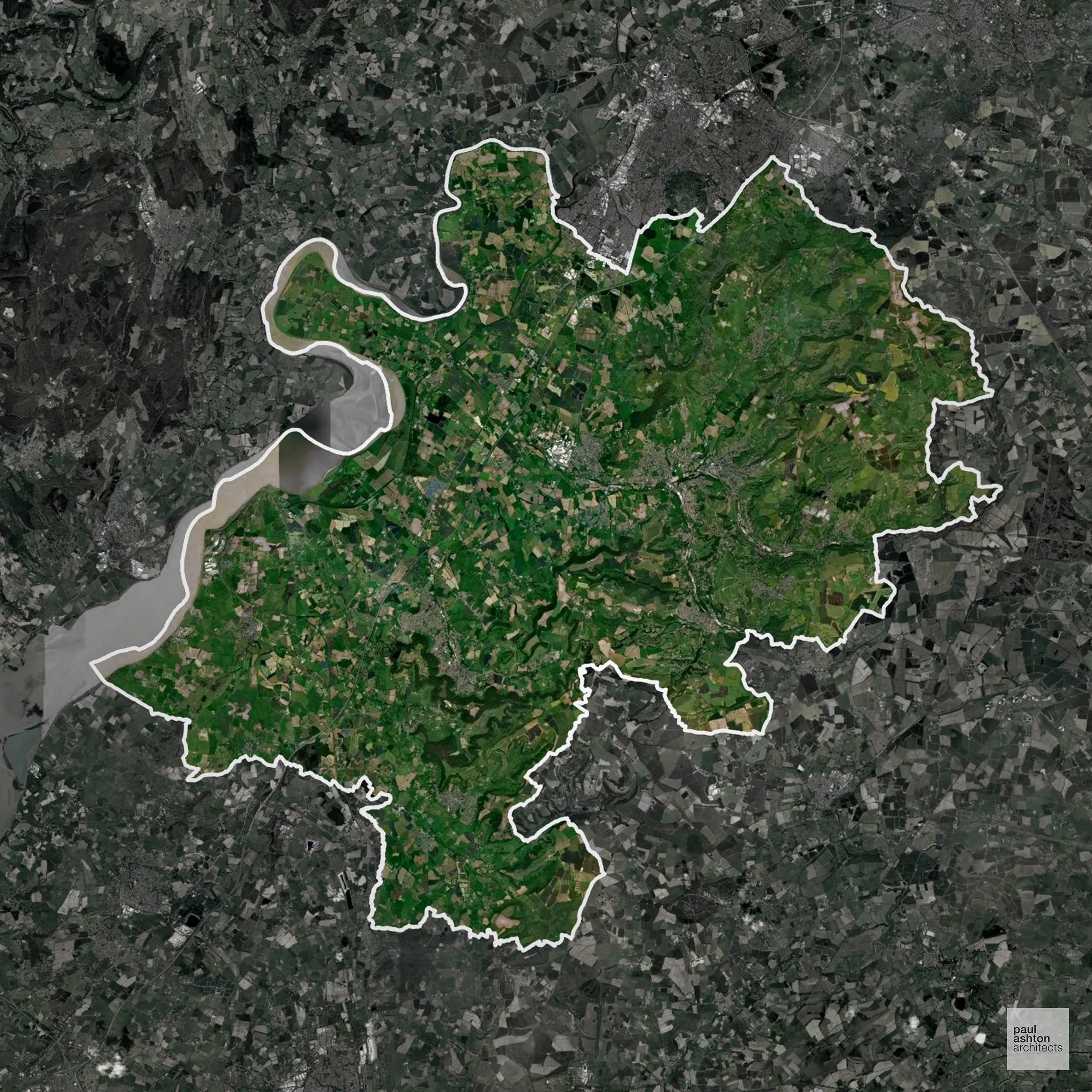
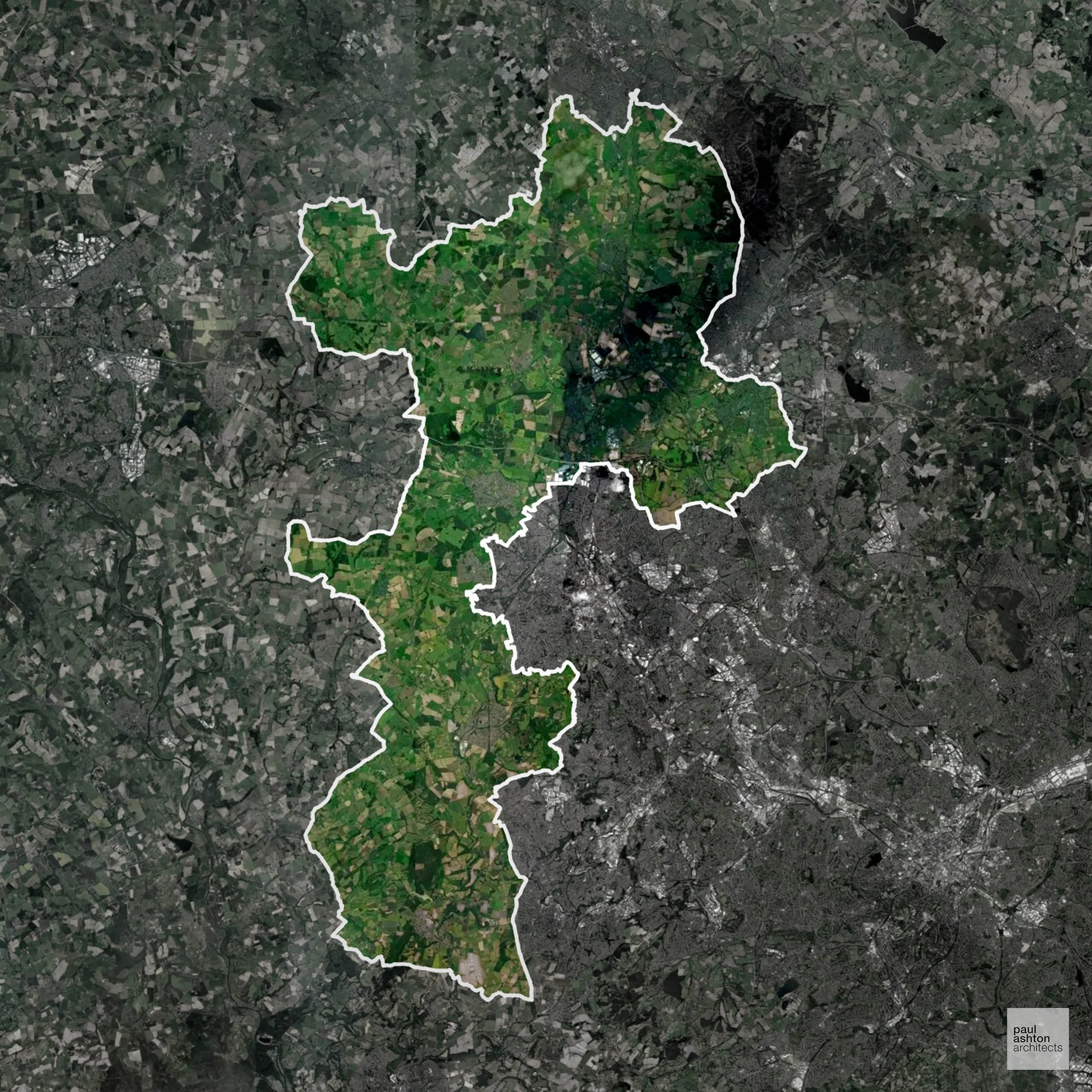
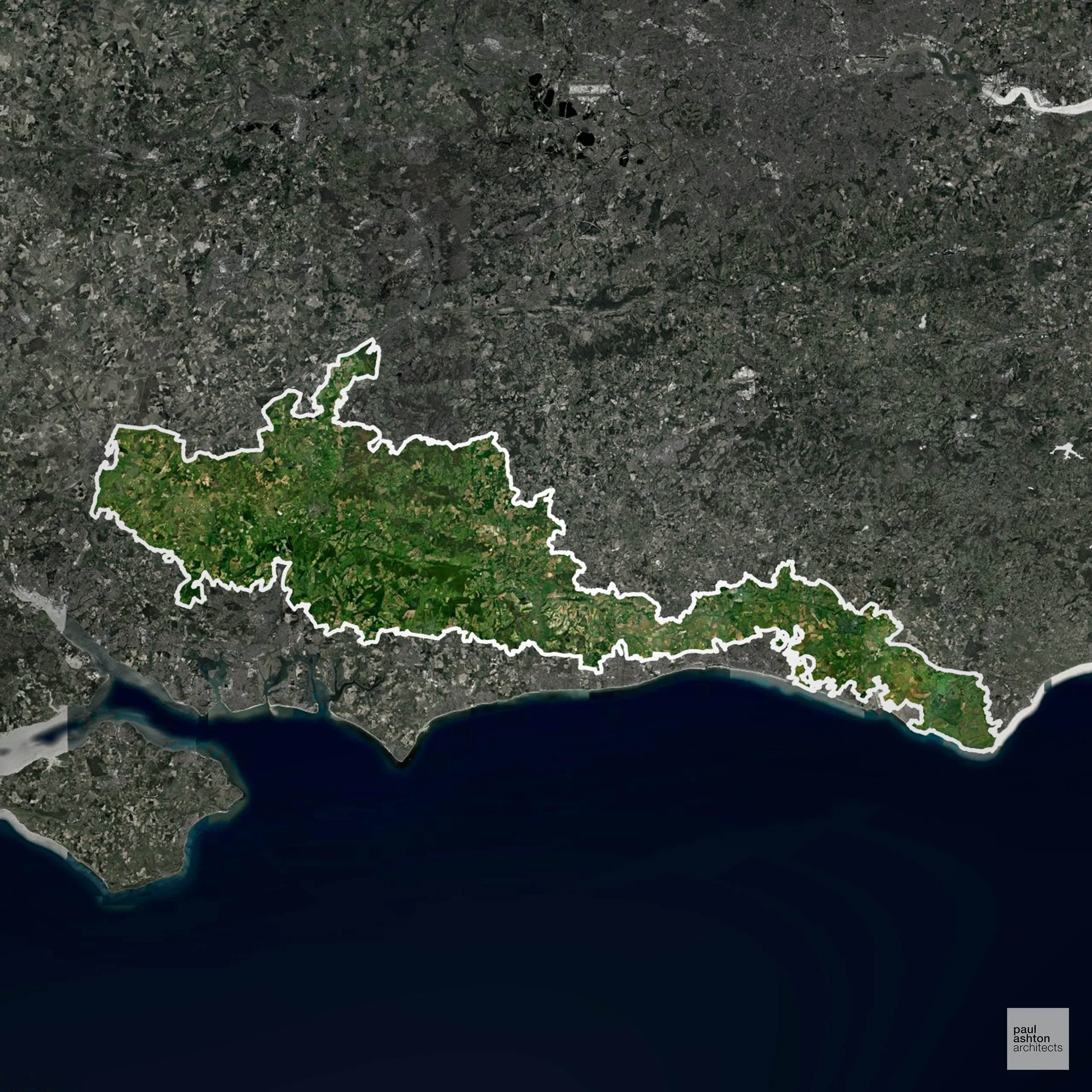
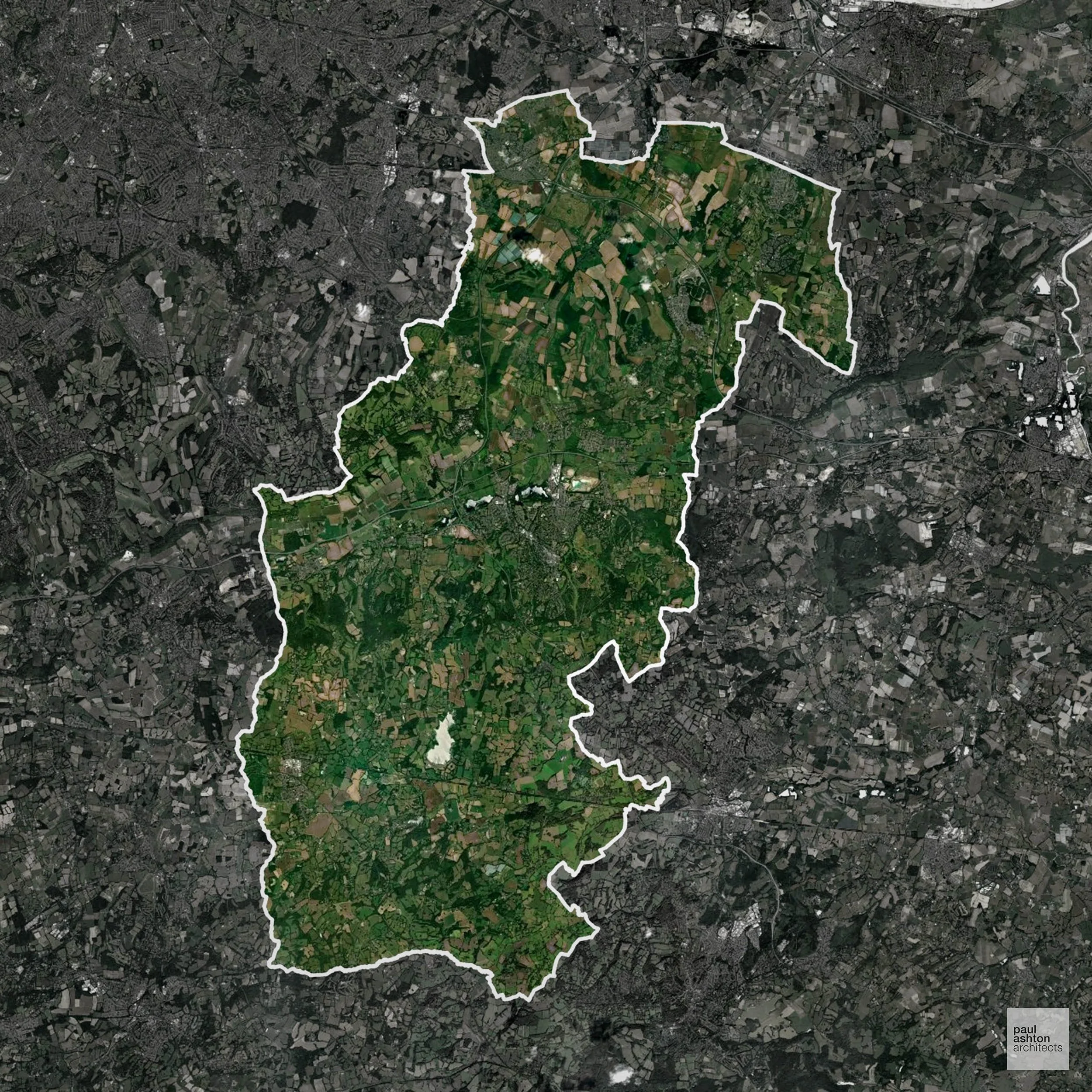
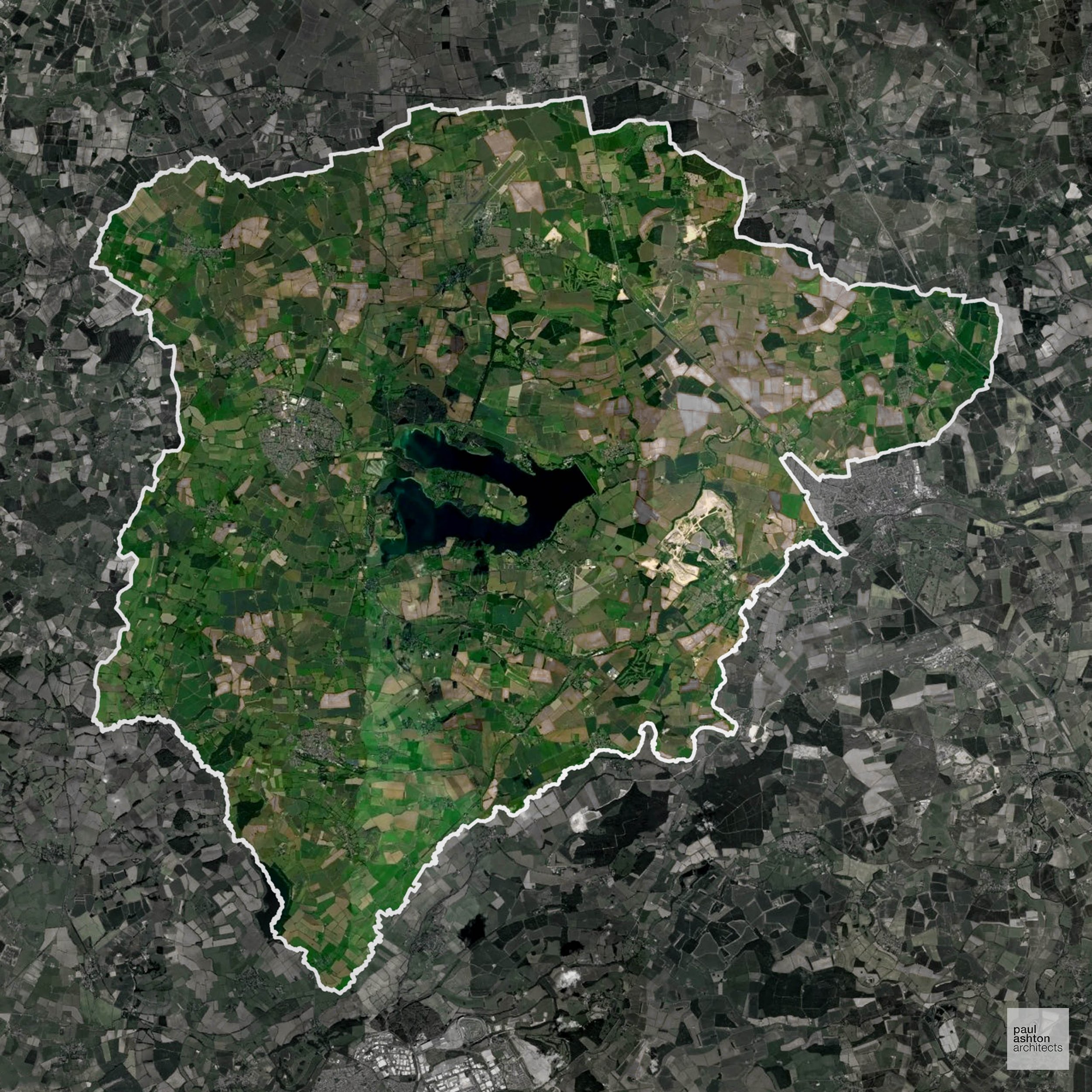
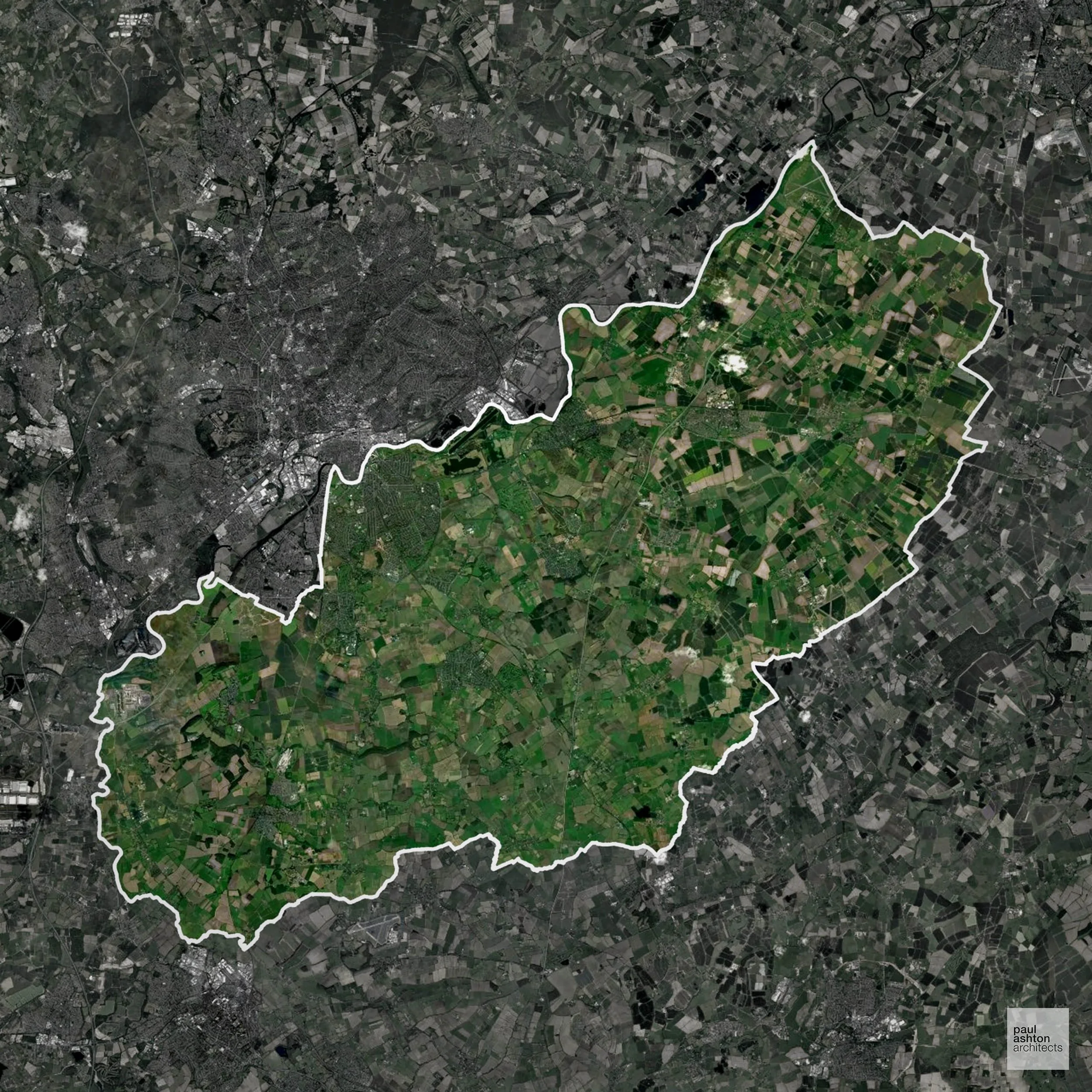
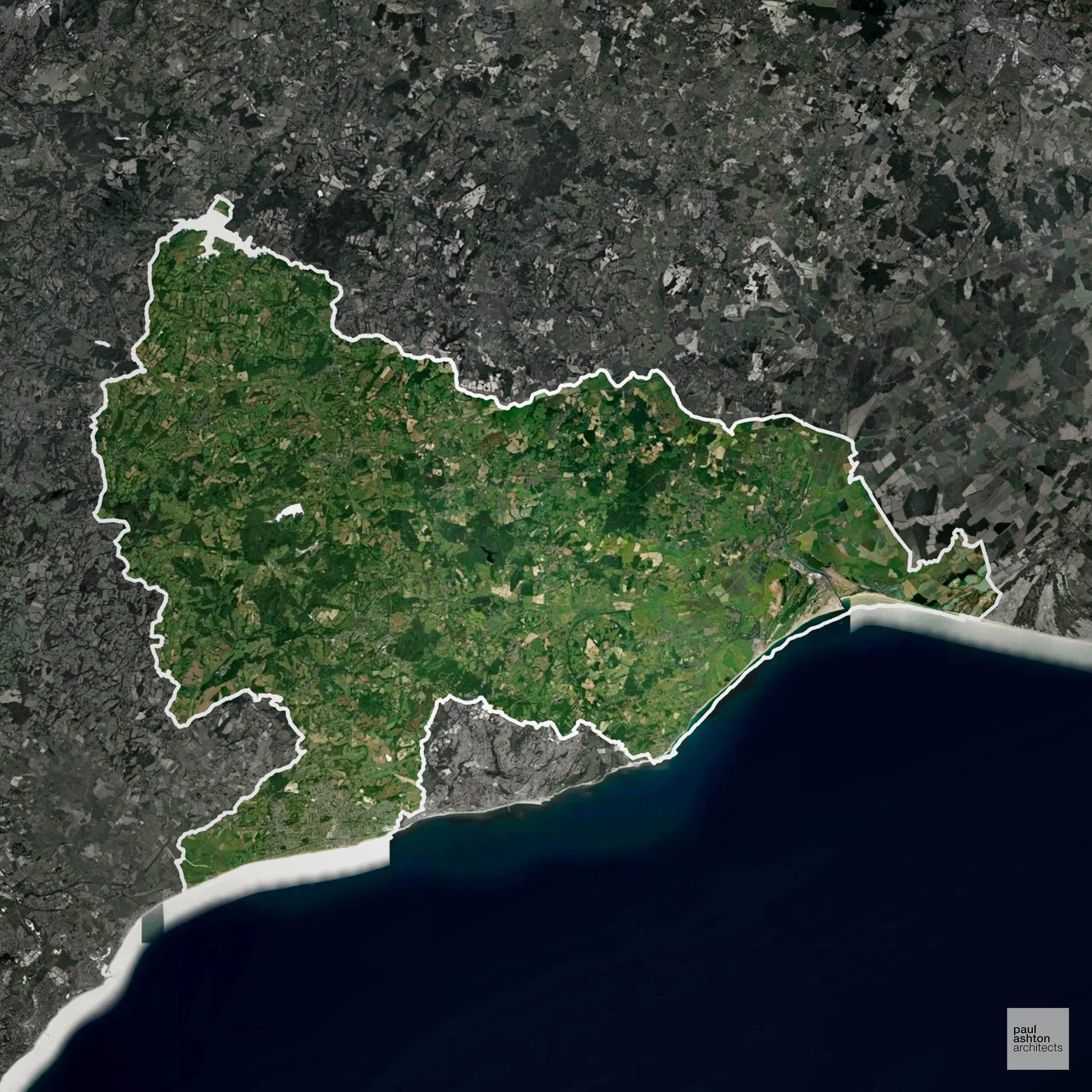
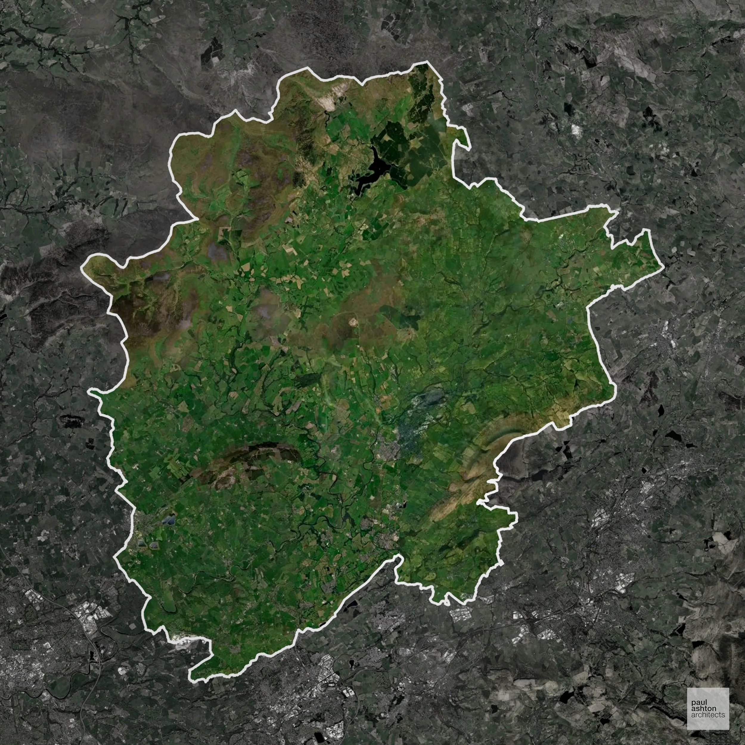
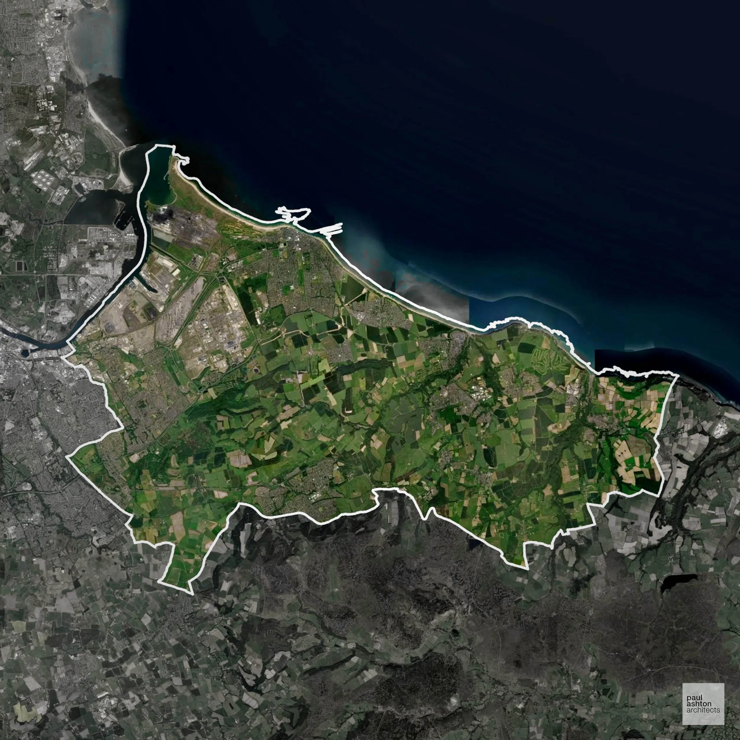
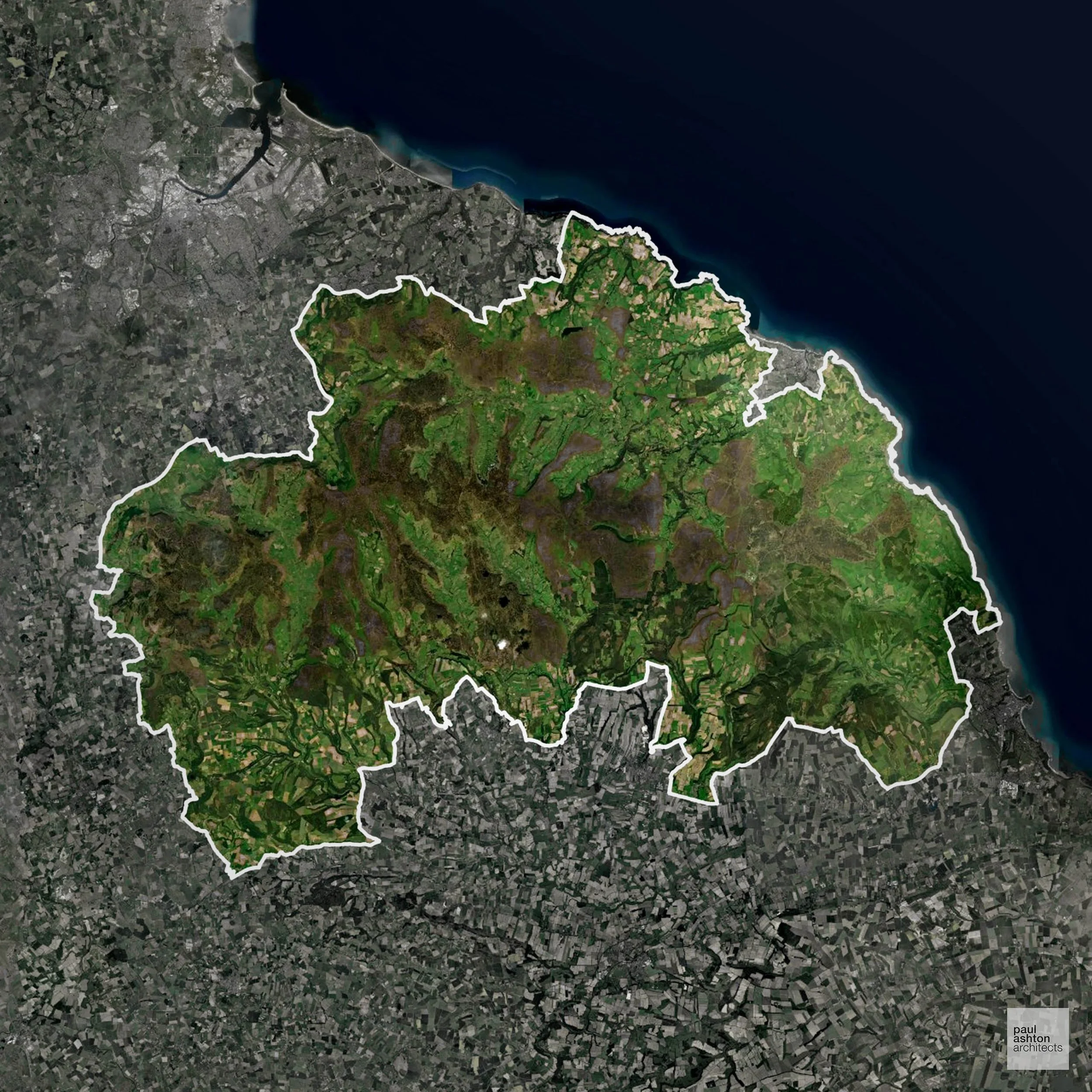
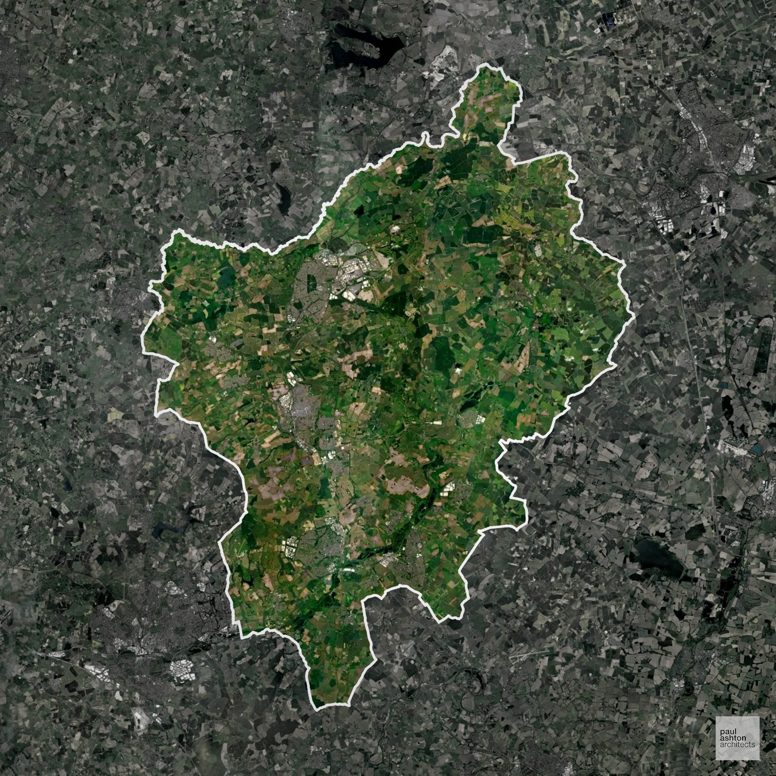
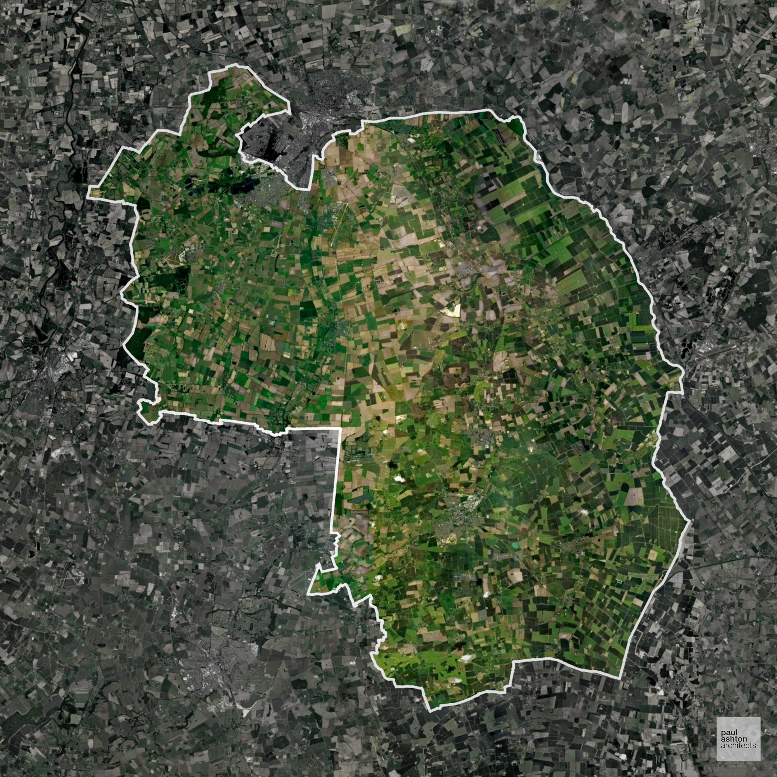
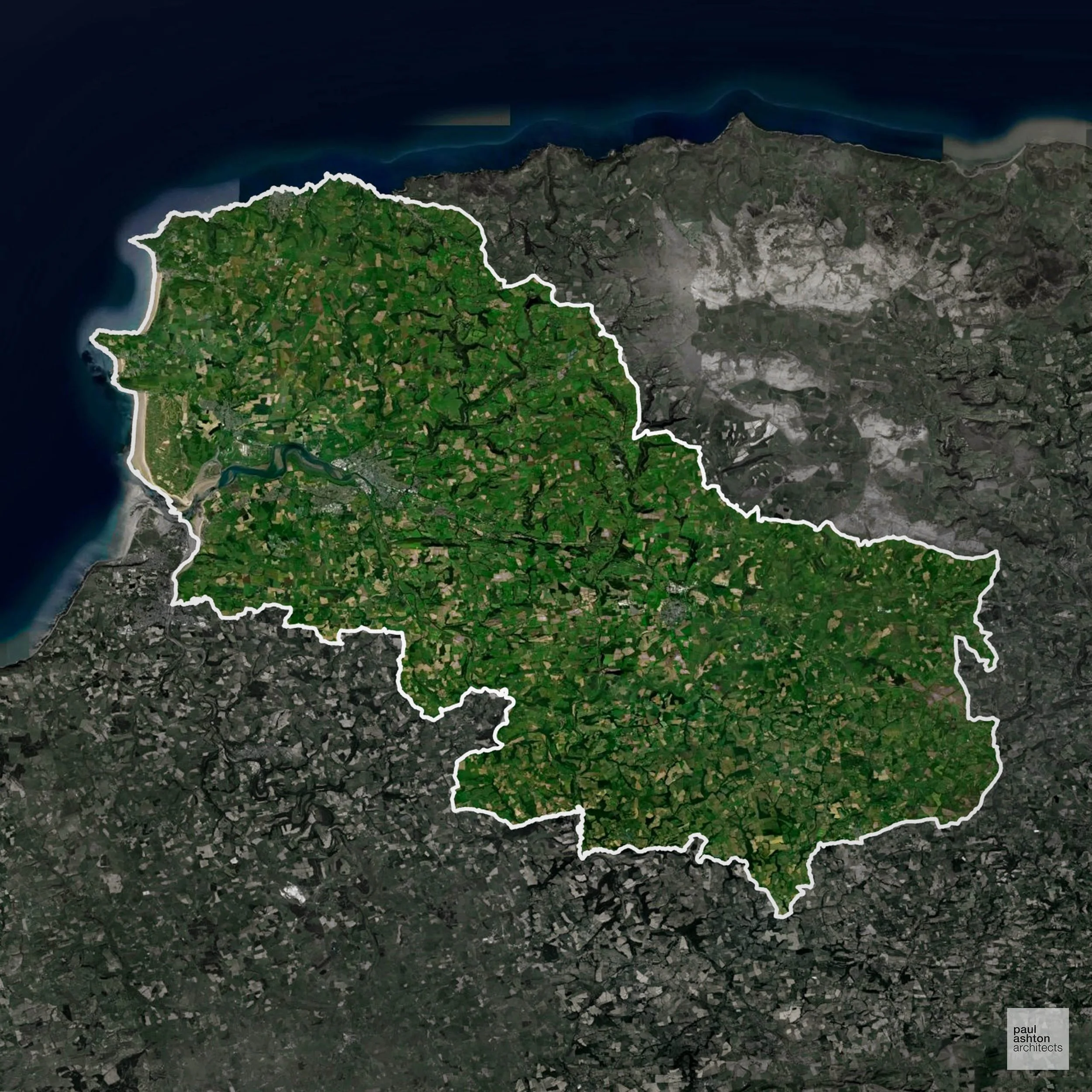
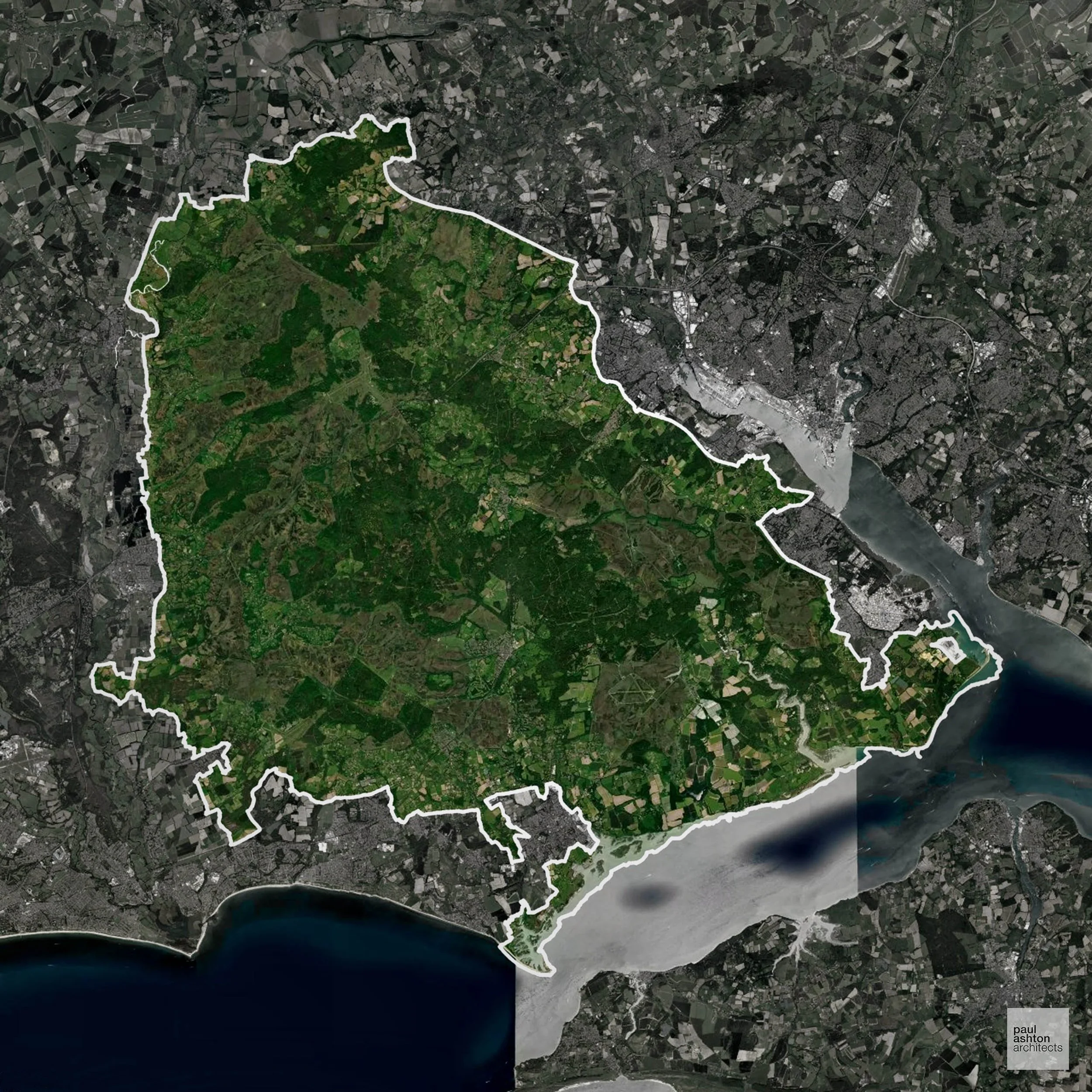
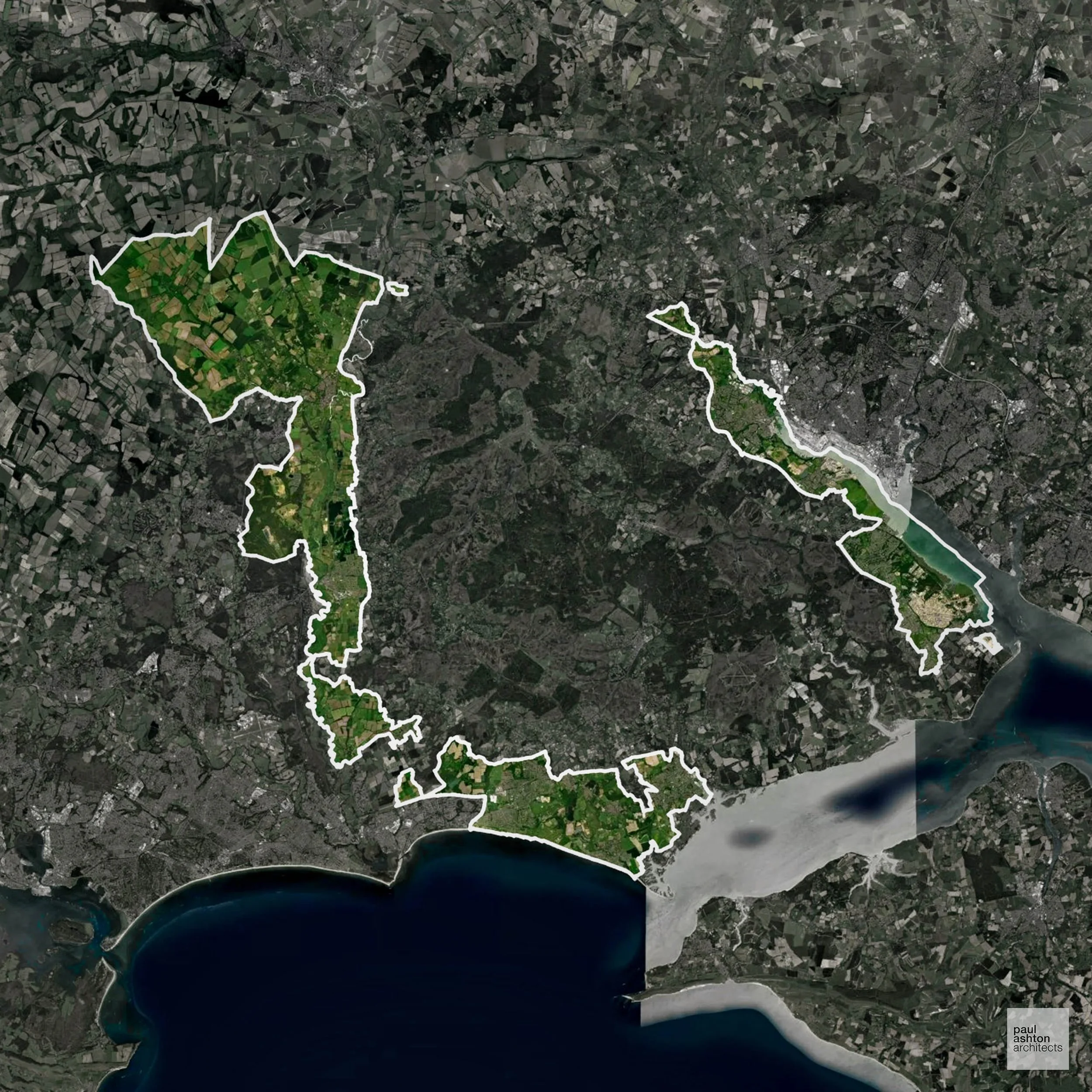
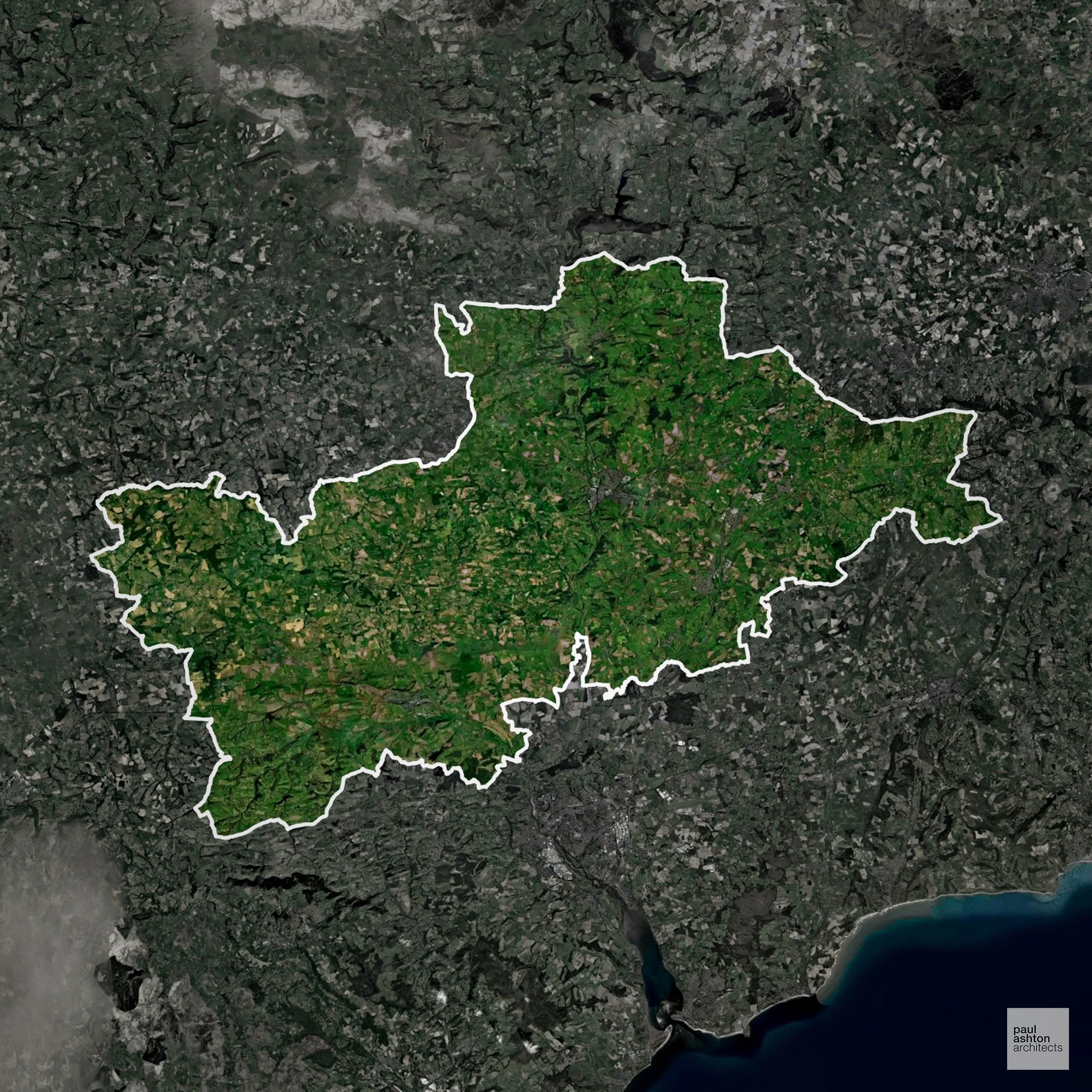
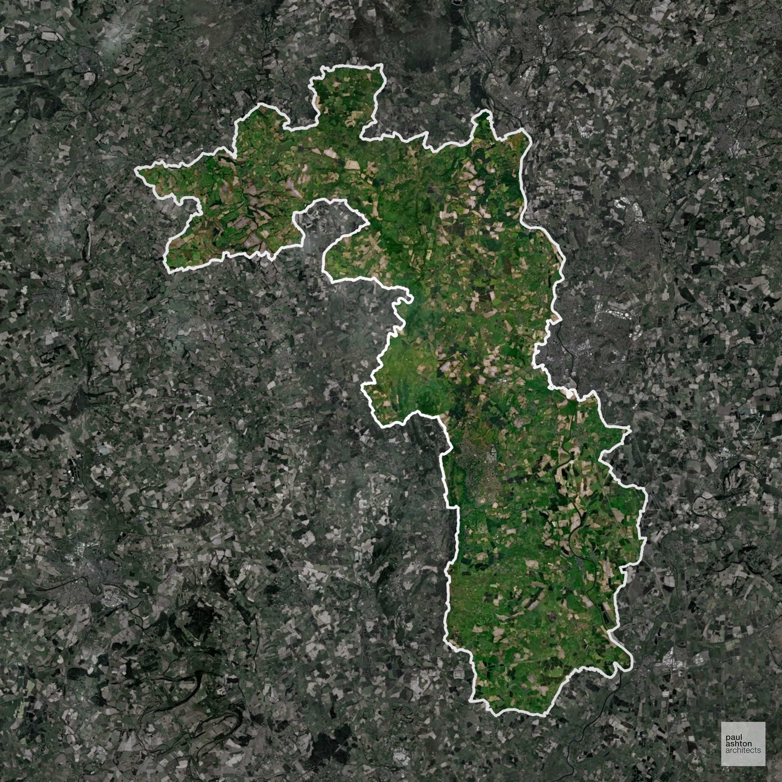
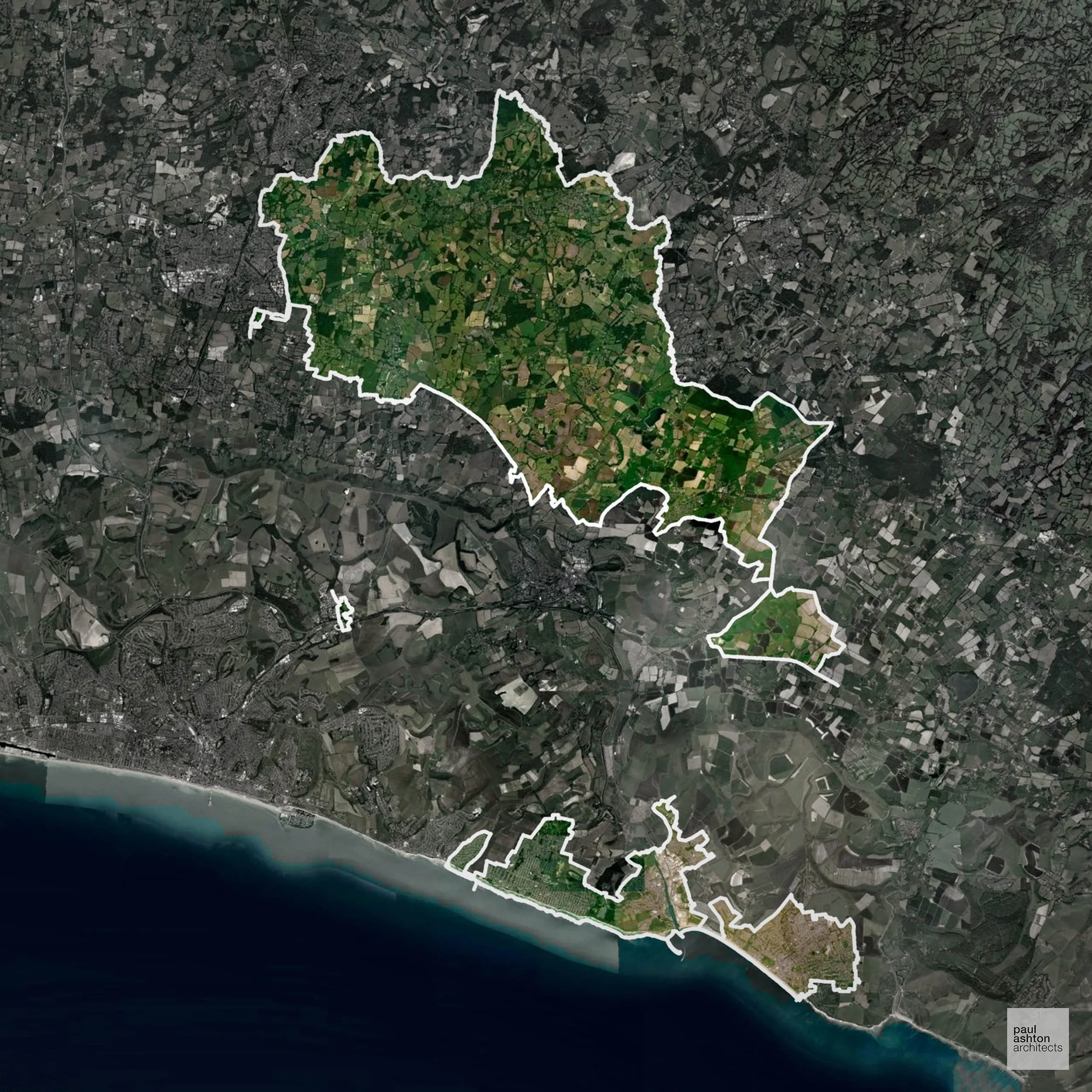
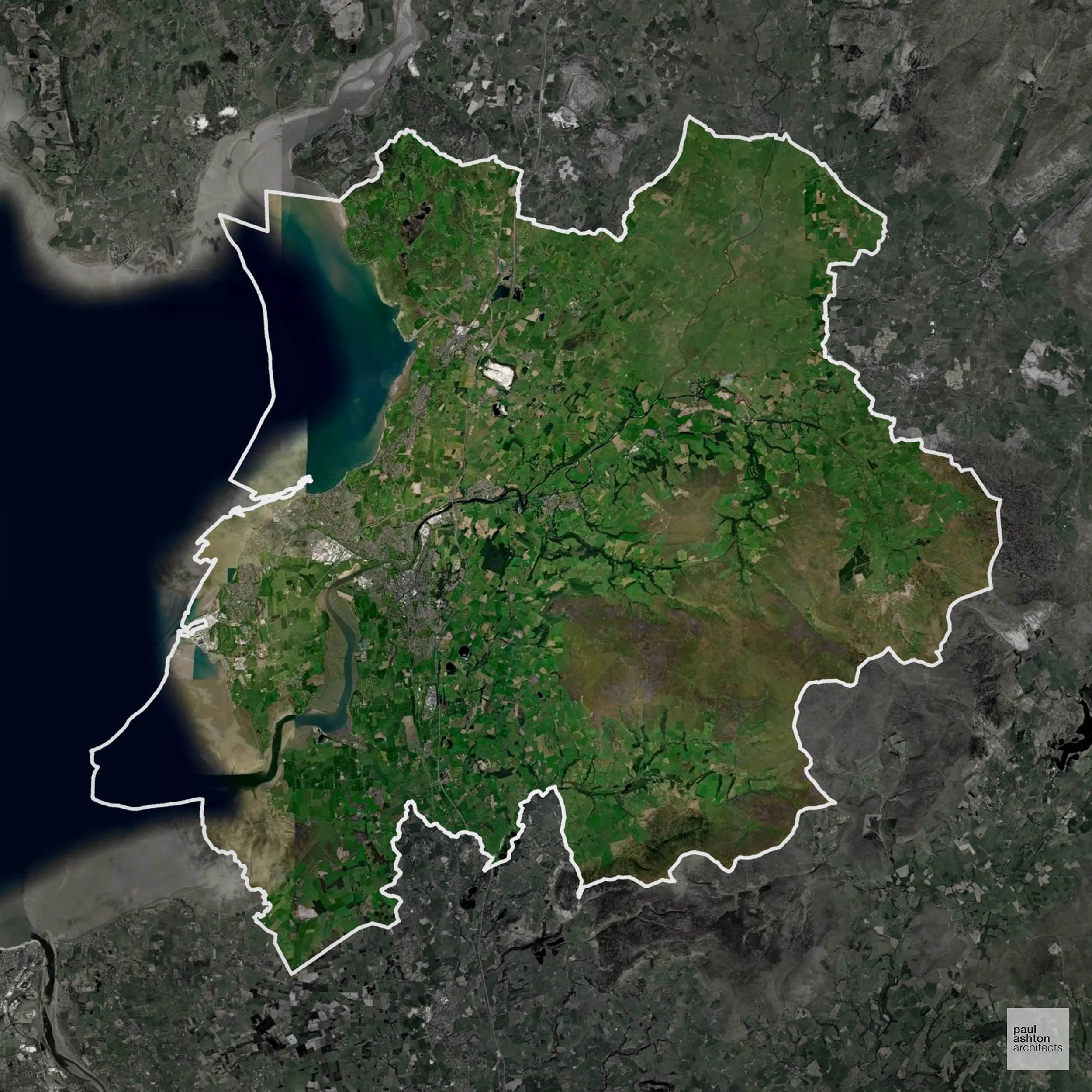
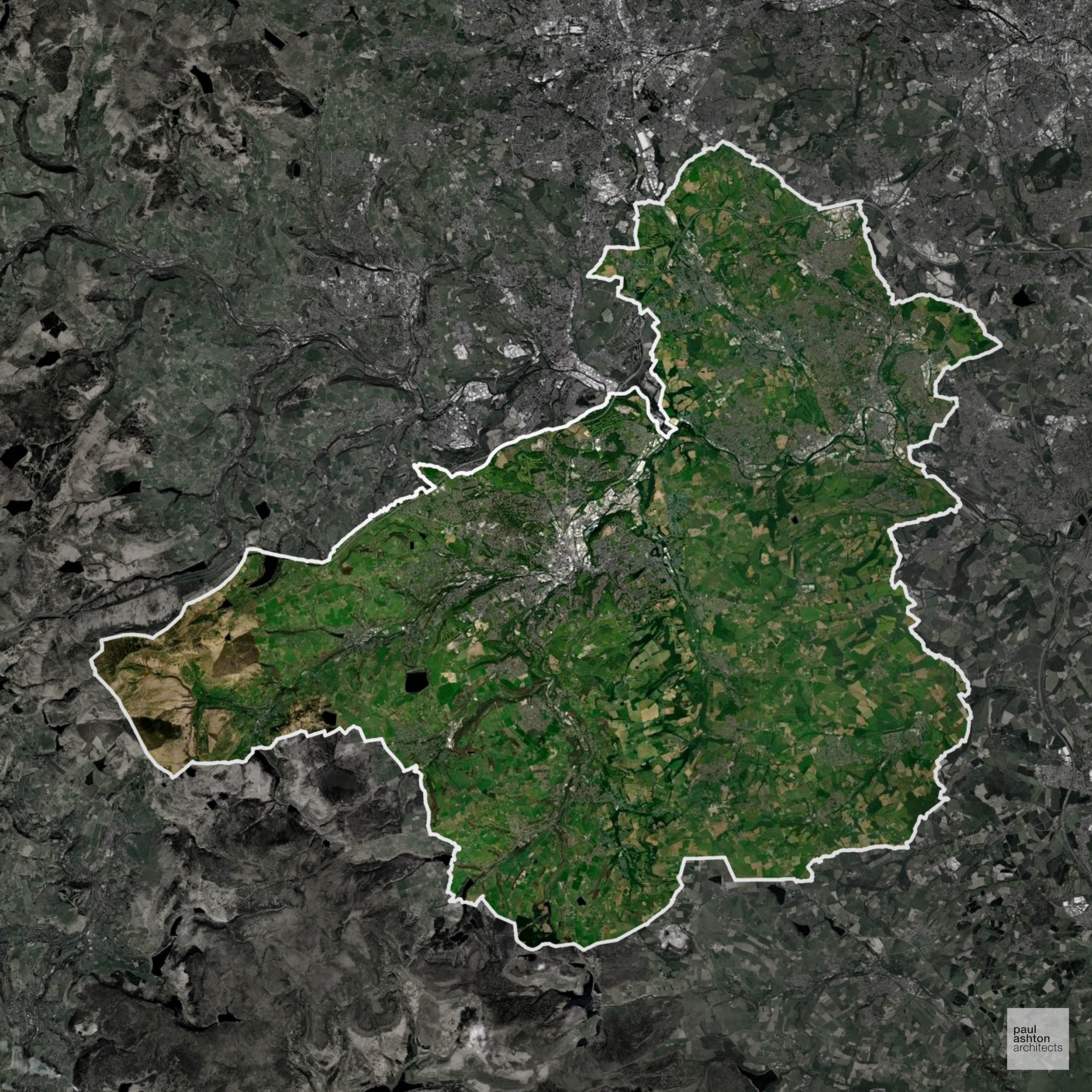
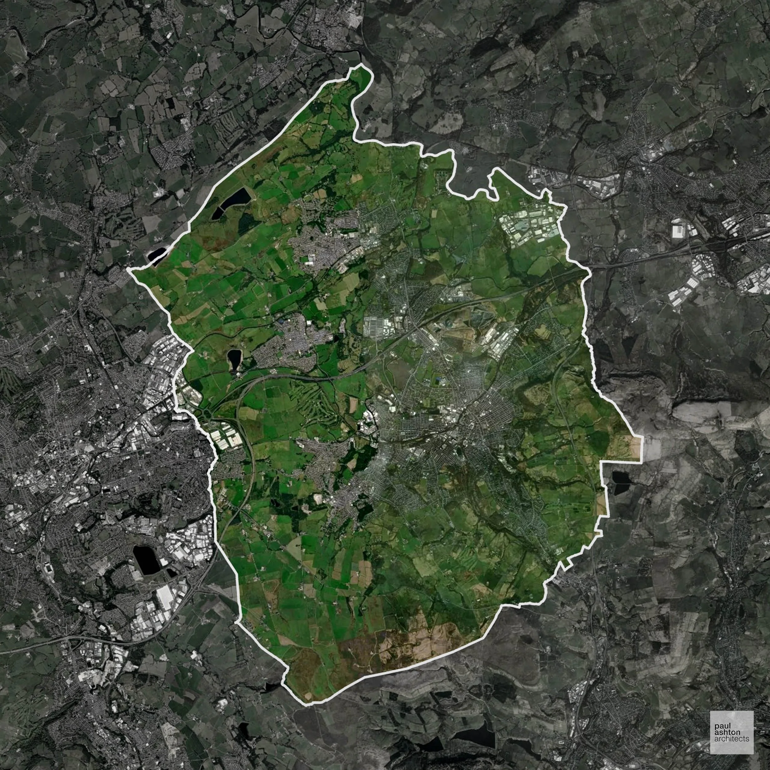
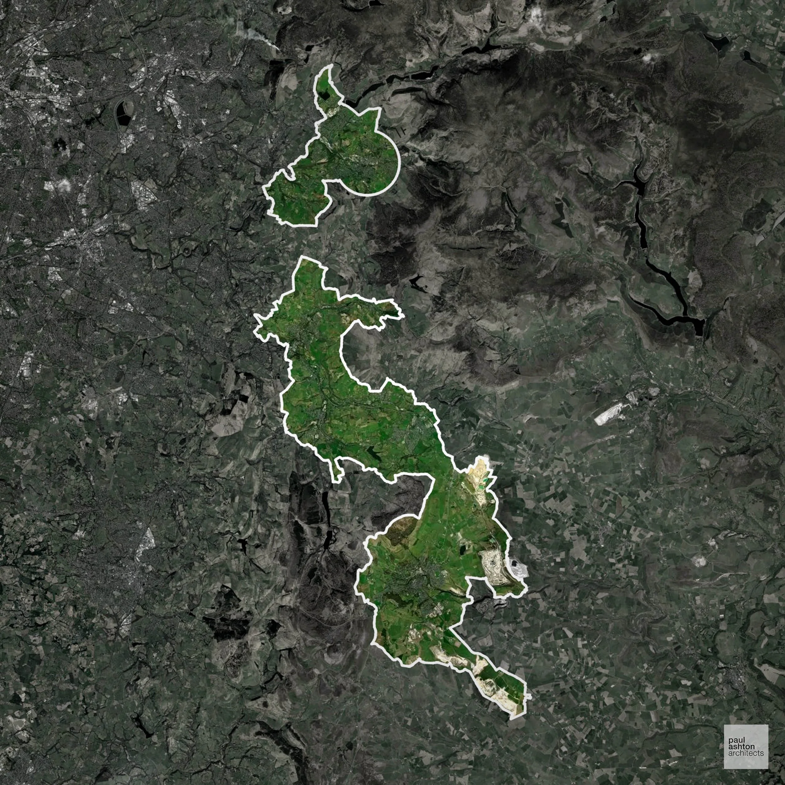
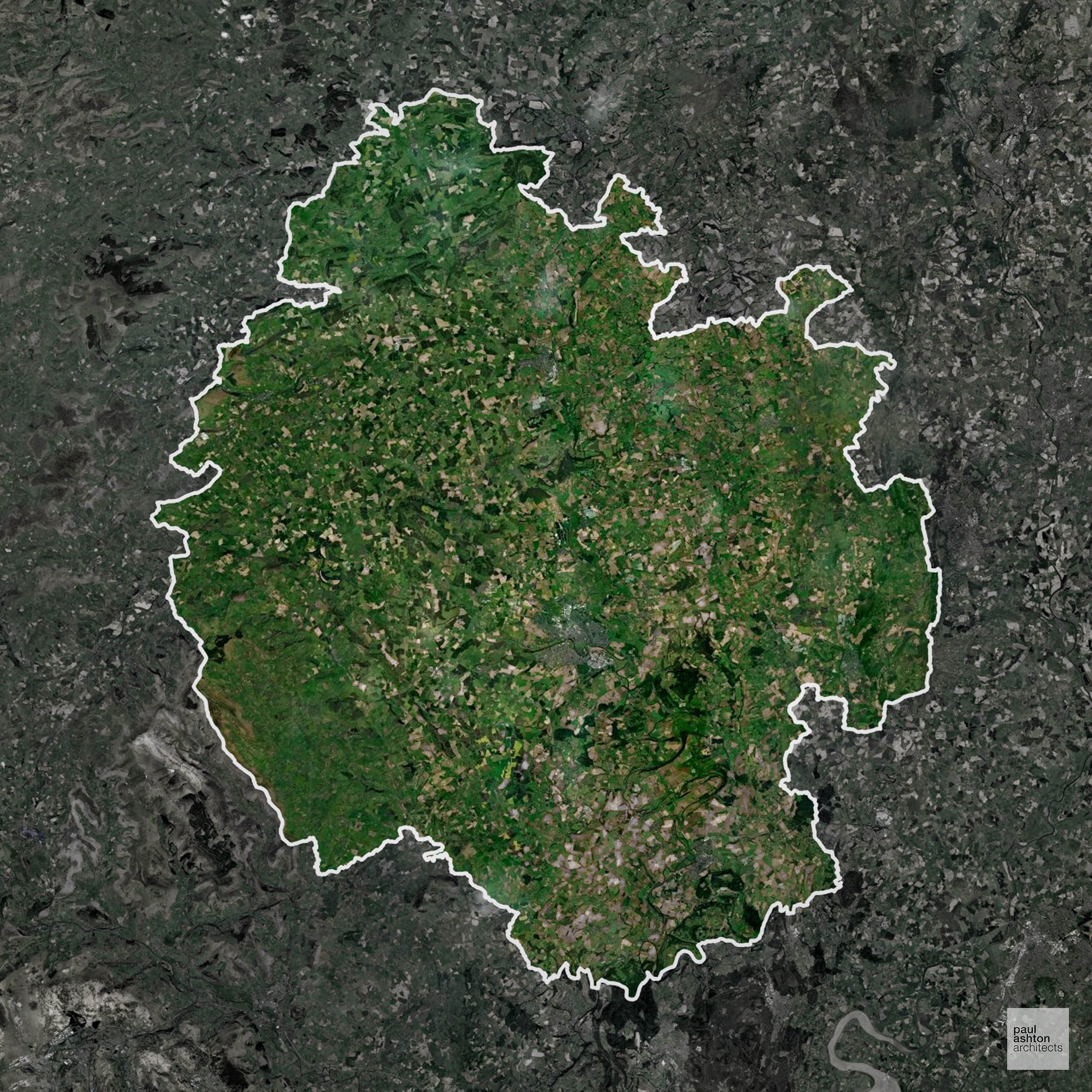
Areas of Outstanding Natural Beauty in York
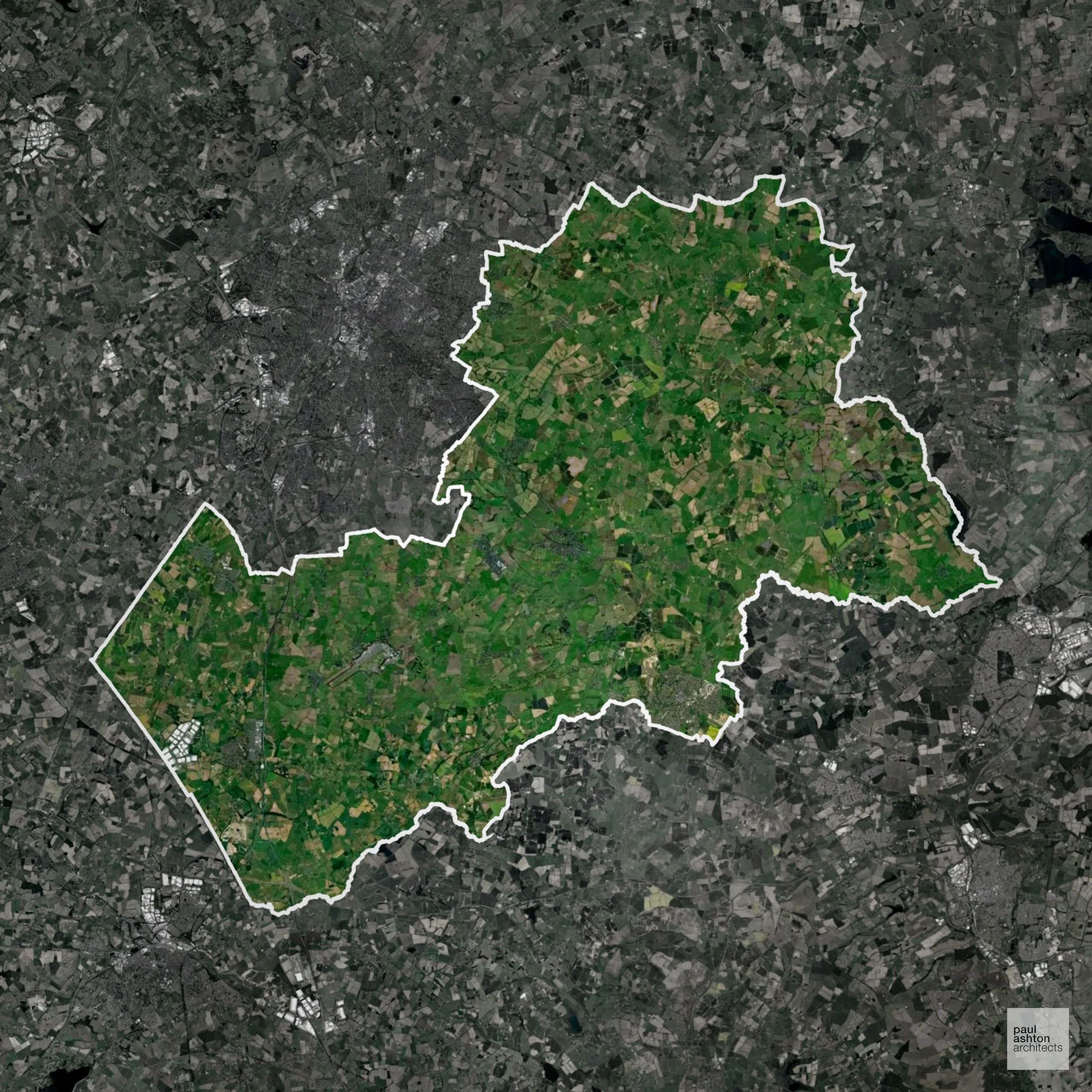
Areas of Outstanding Natural Beauty (AONBs), (now often referred to as National Landscapes), are protected areas recognised for their exceptional scenic and natural value.
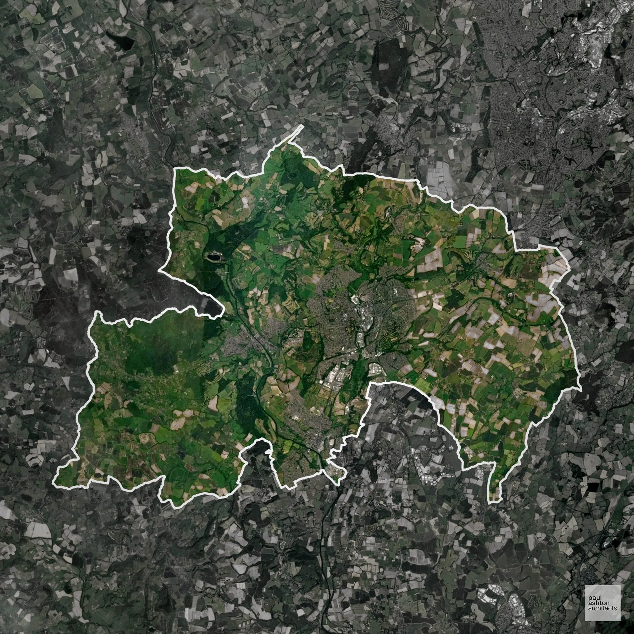
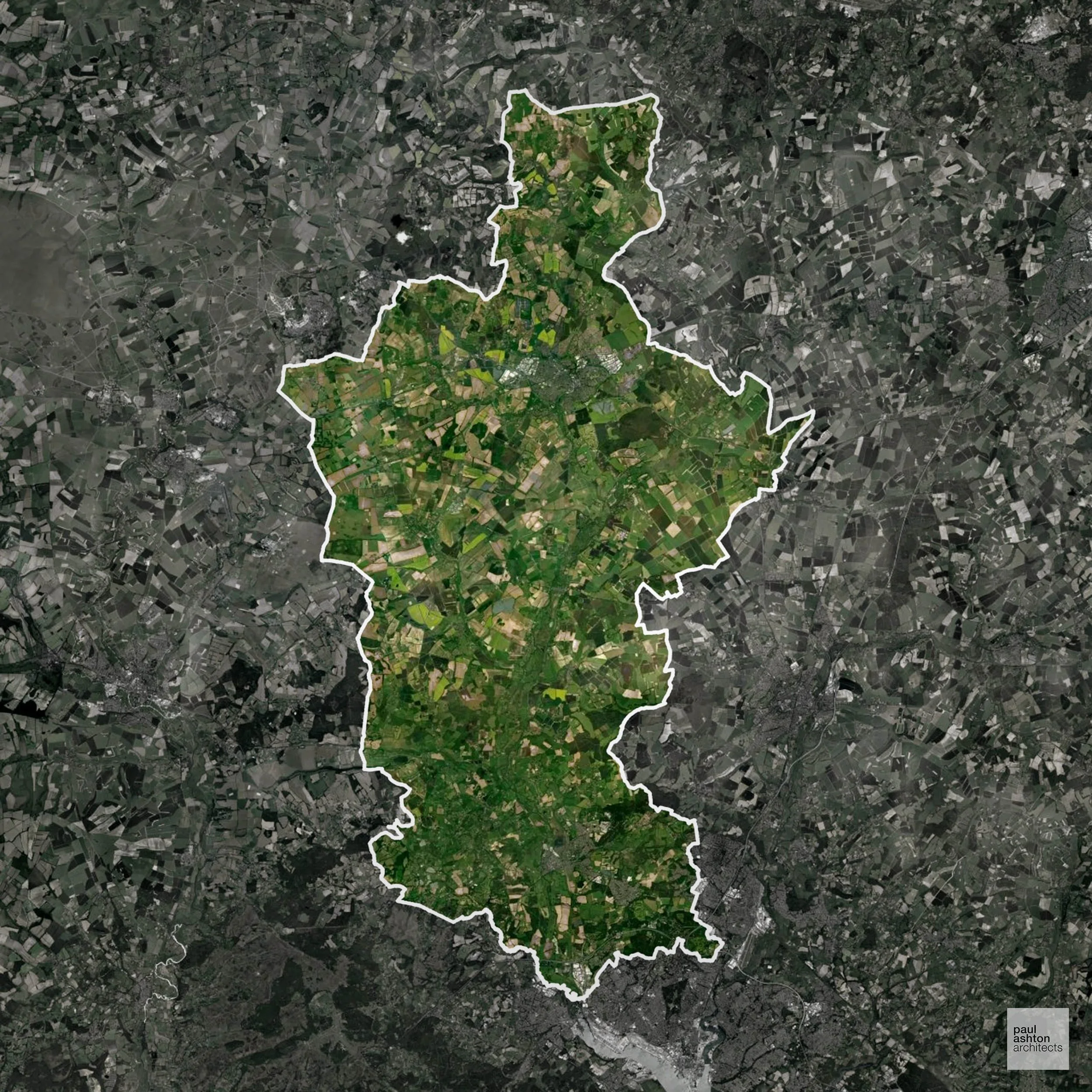
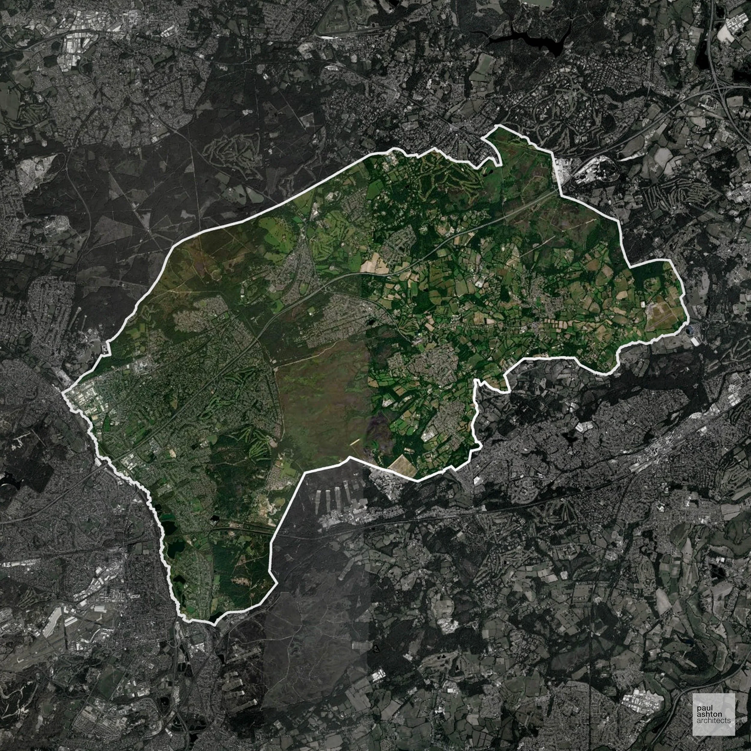
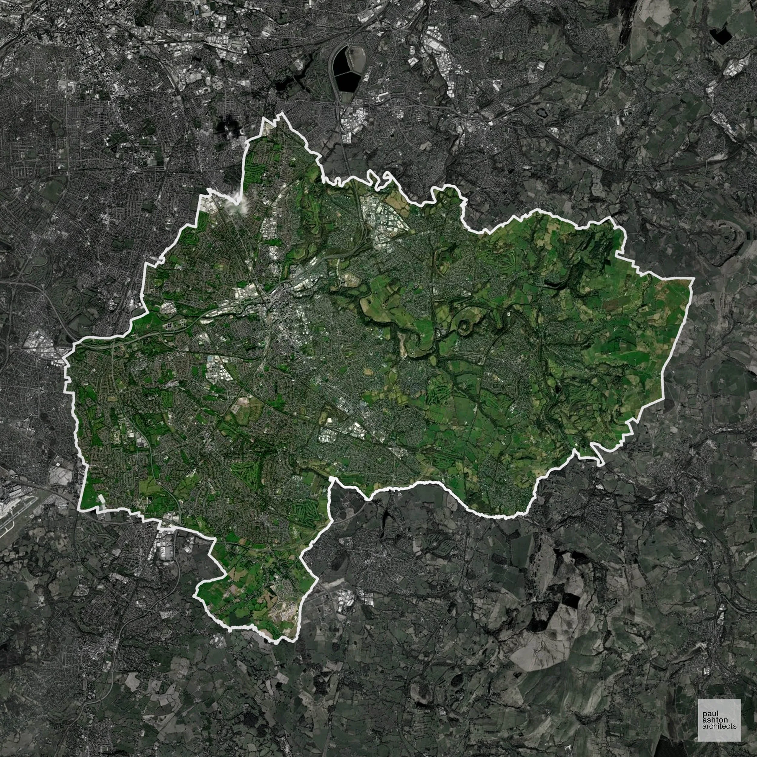
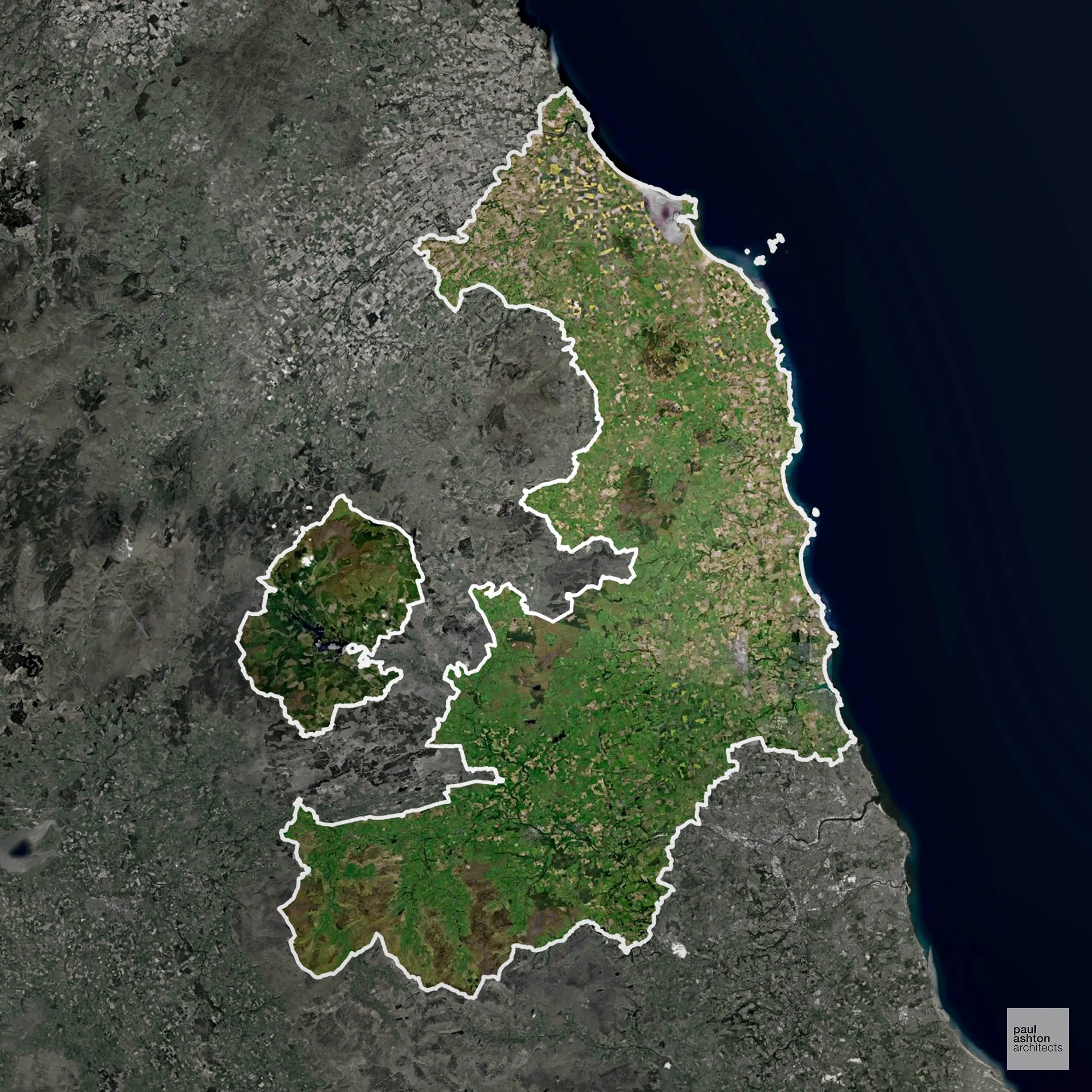
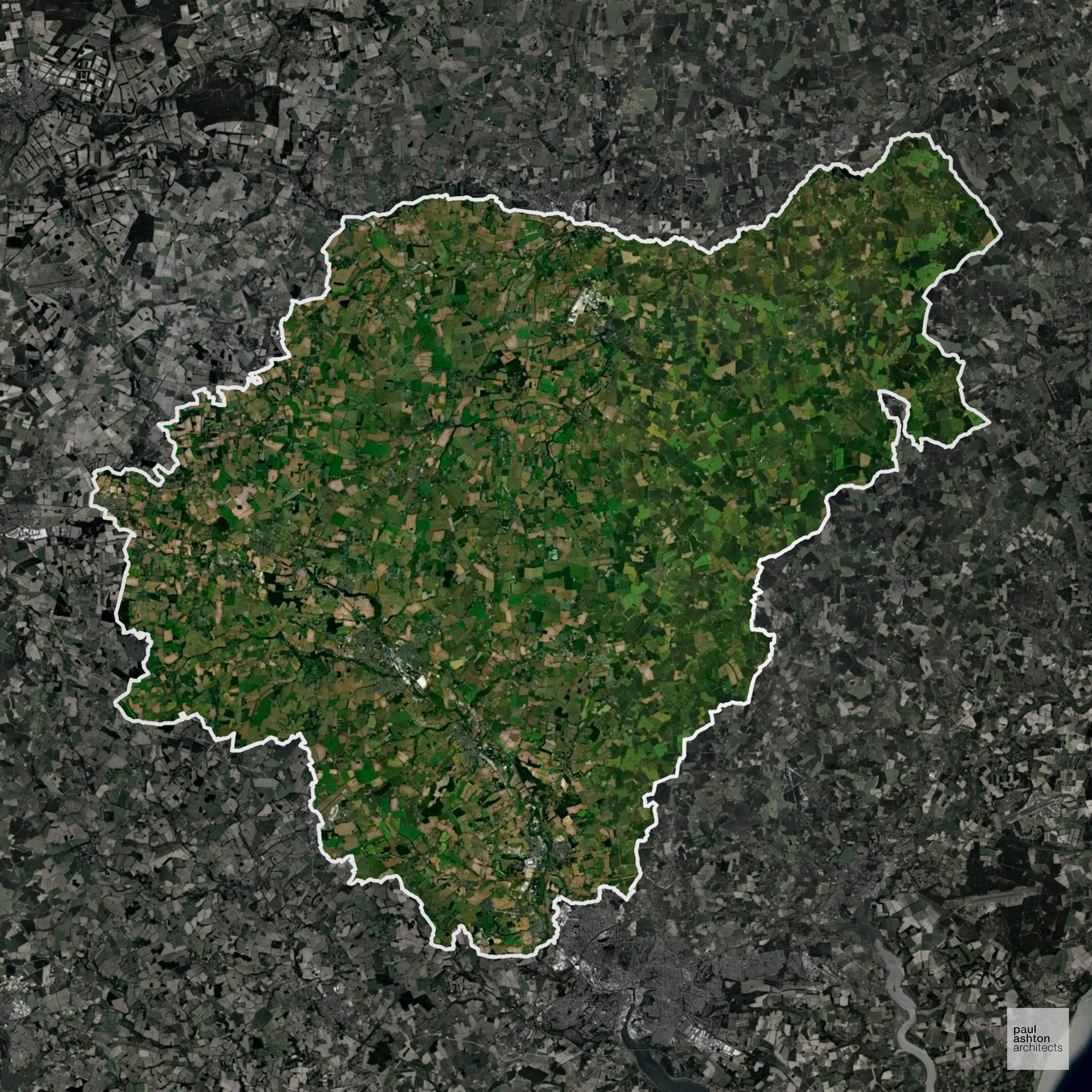
York LPA overlaps with the Howardian Hills AONB. Development is carefully controlled to conserve landscape character.
In our experience, one of the top reasons proposals in Areas of Outstanding Natural Beauty are refused is causing landscape harm or visual intrusion, a risk that often arises when applications are not fully informed. We help minimise the likelihood of refusal with expert, guidance; contact us here.
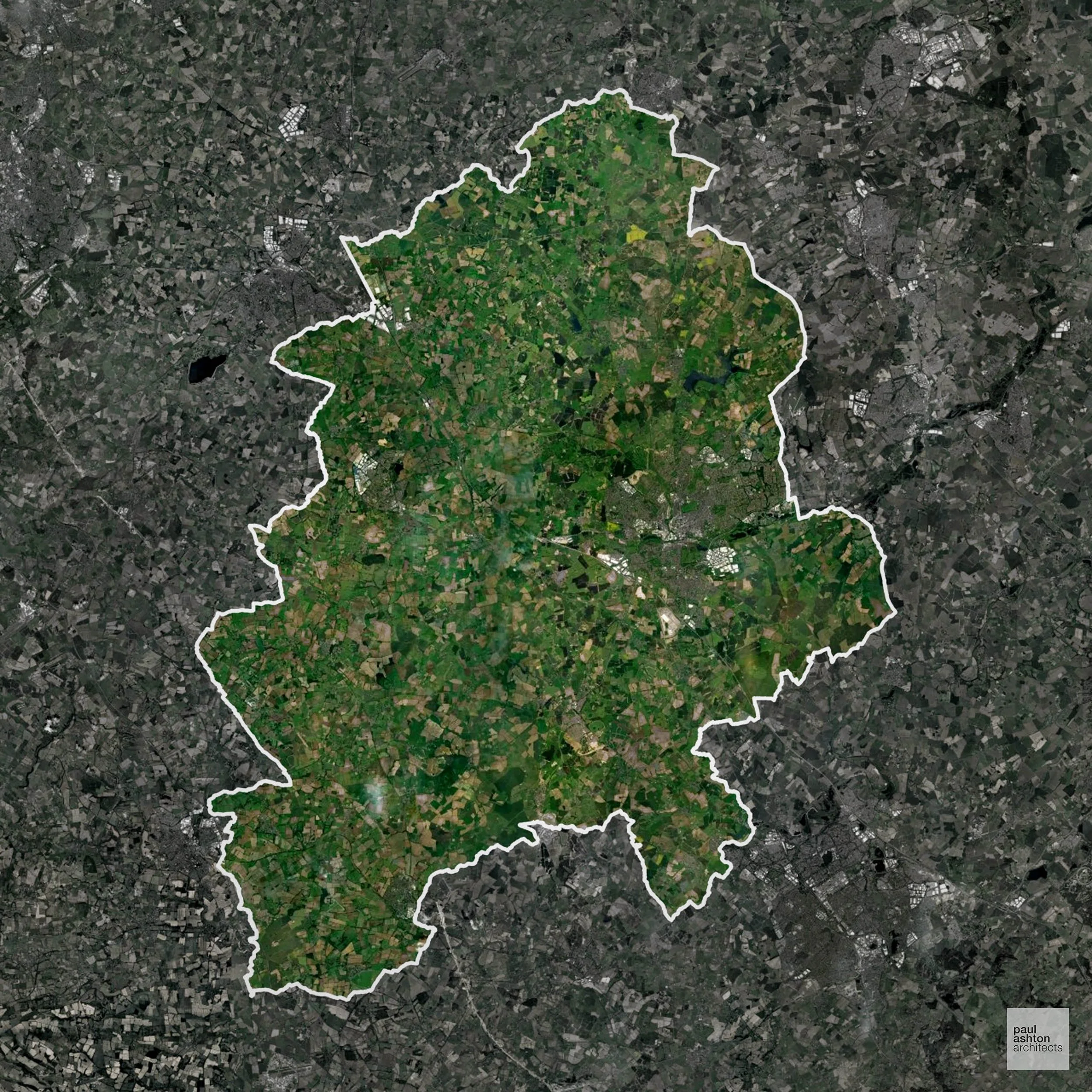
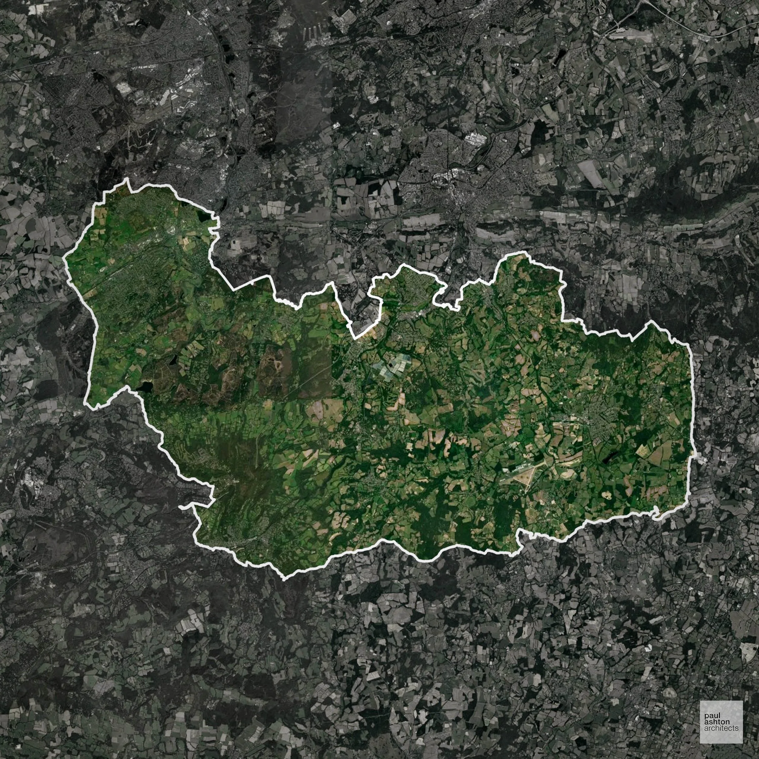
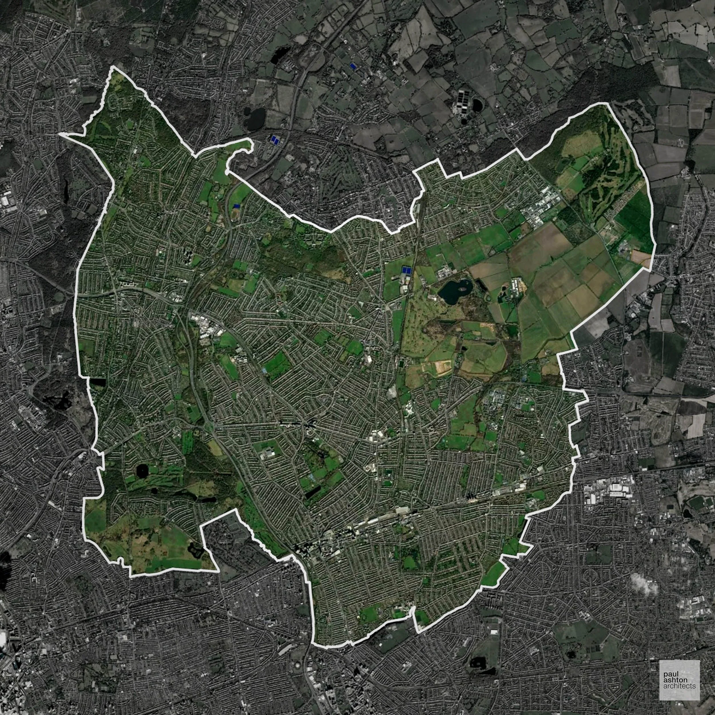
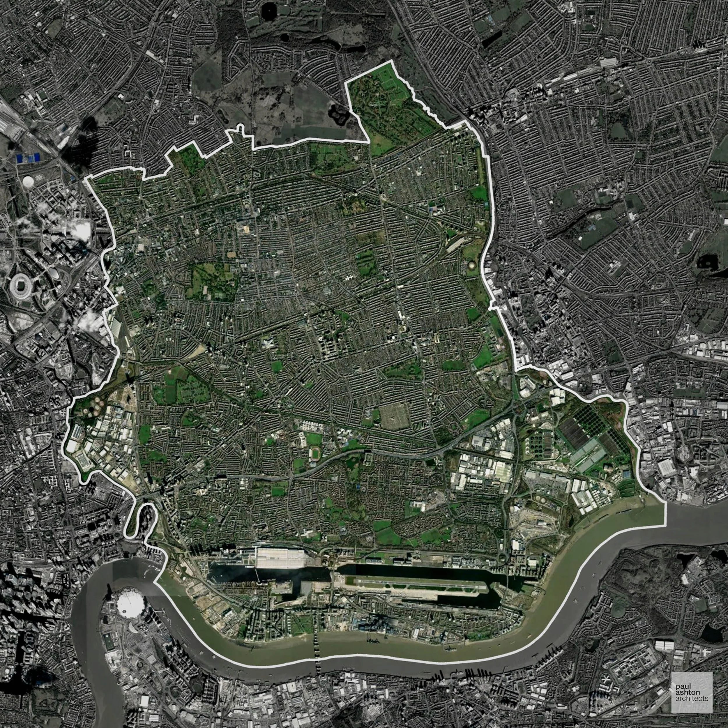
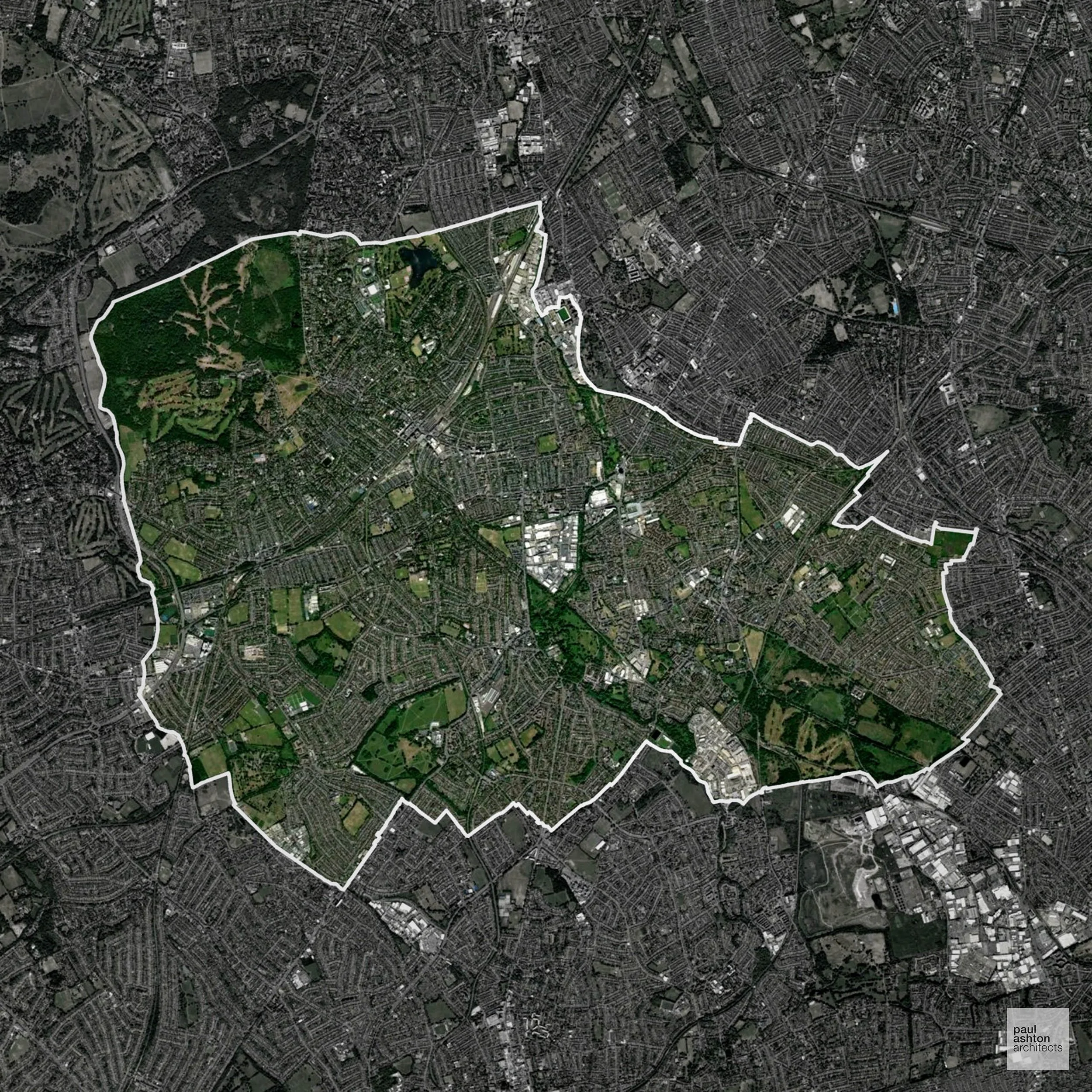
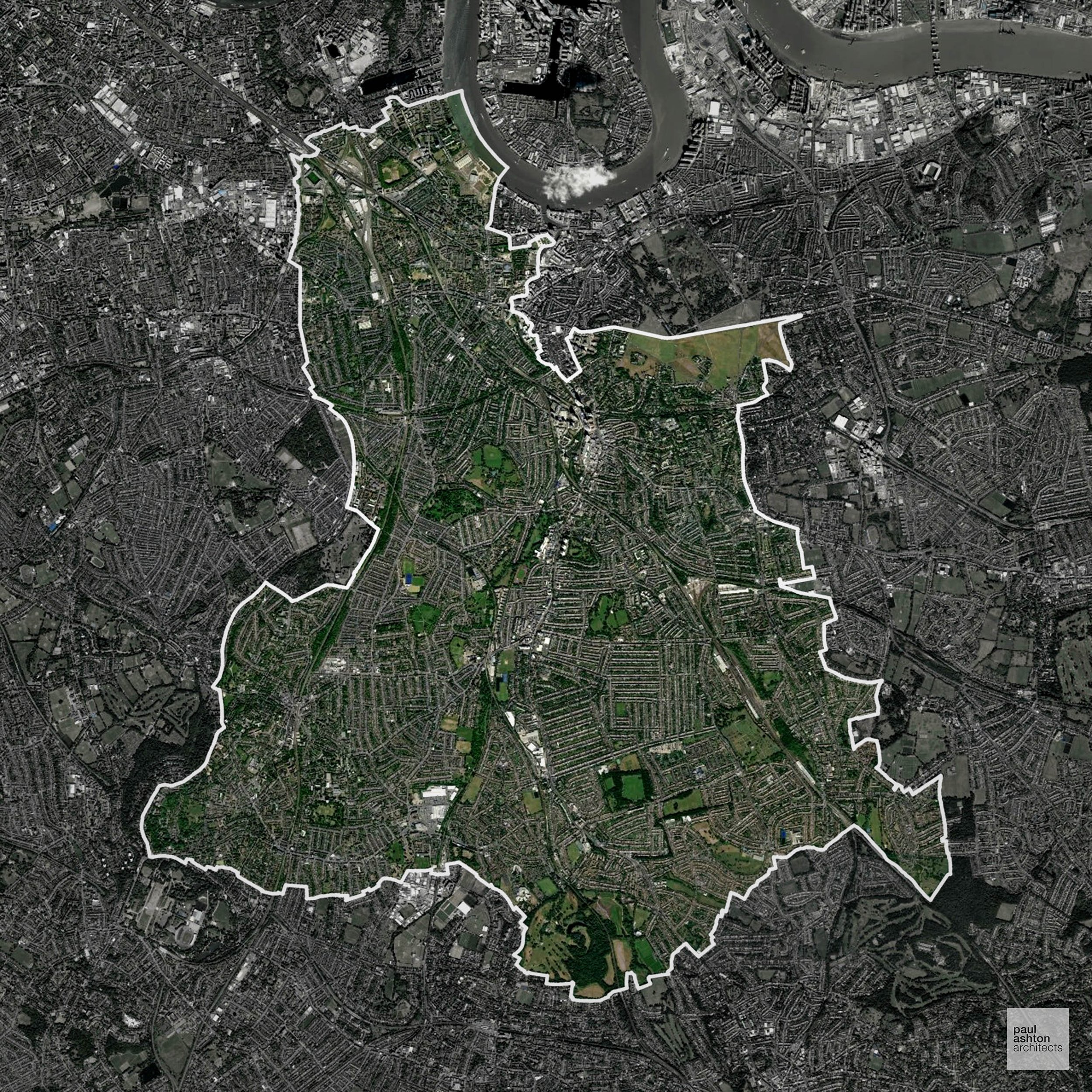
Conservation and Listed Buildings
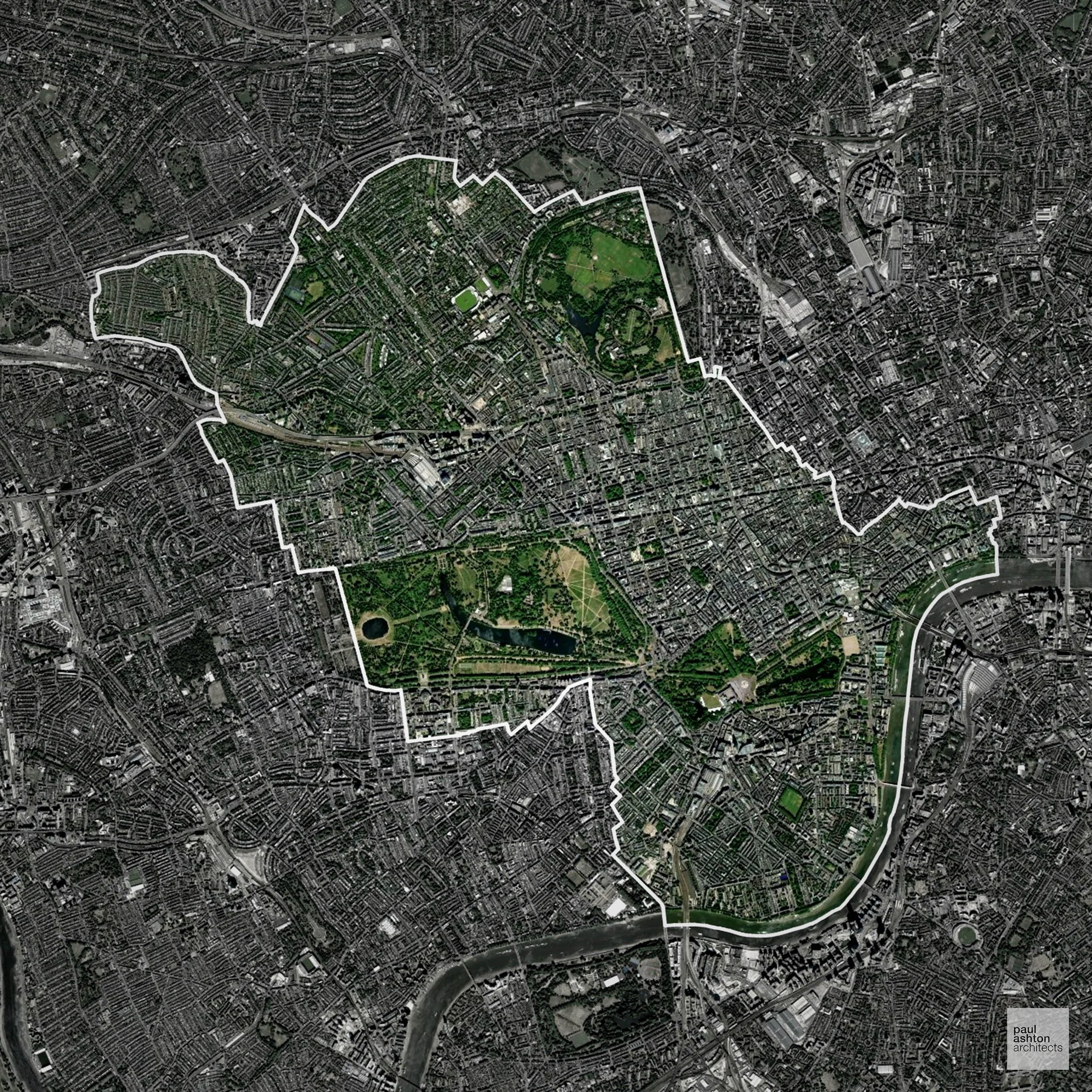
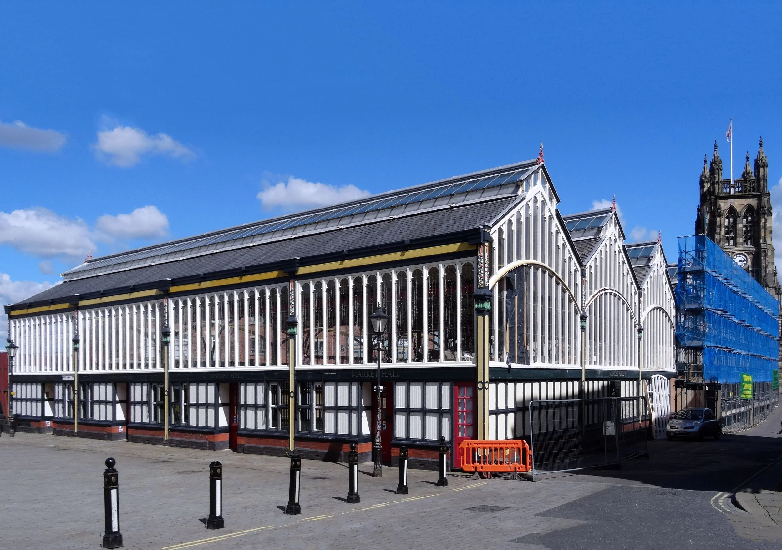
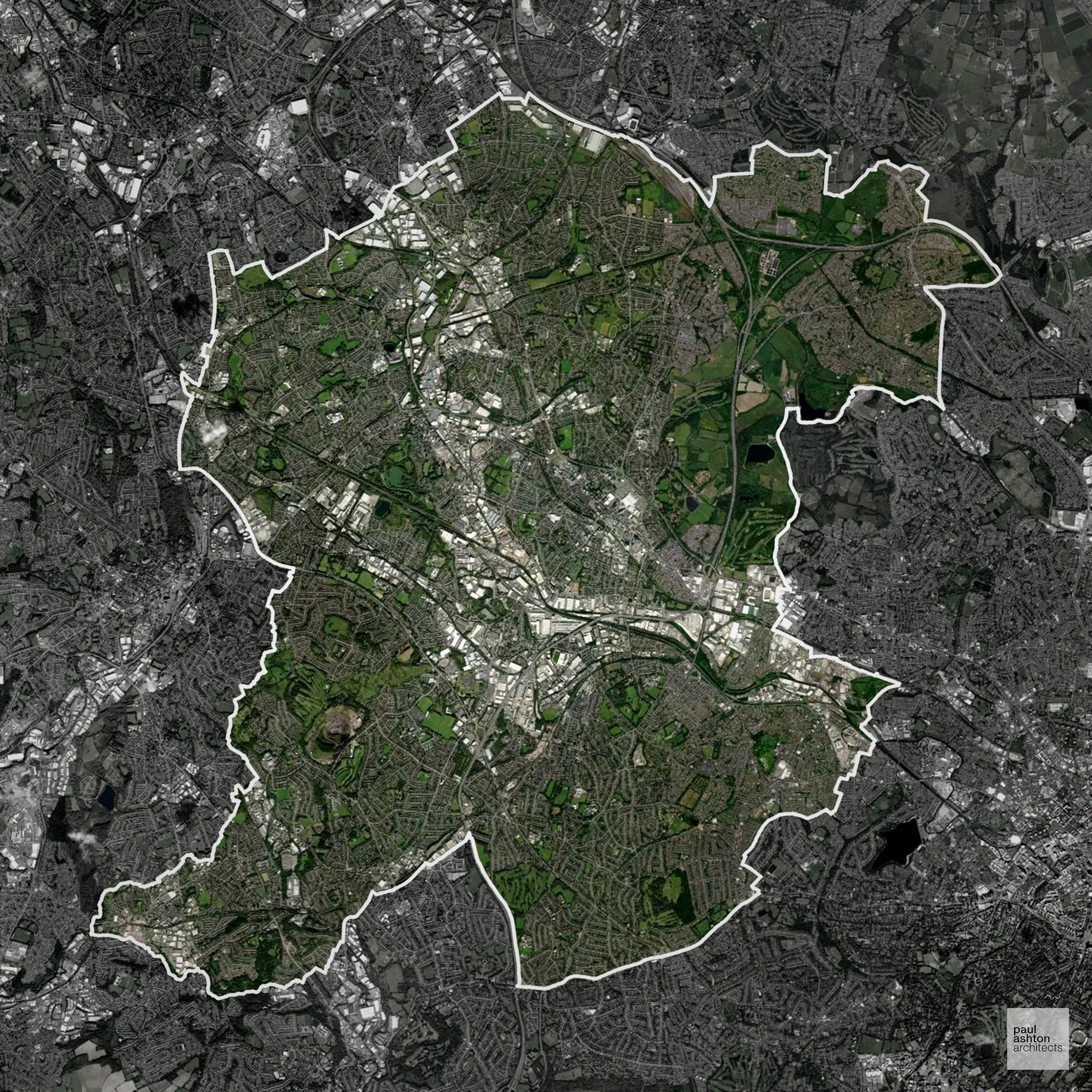
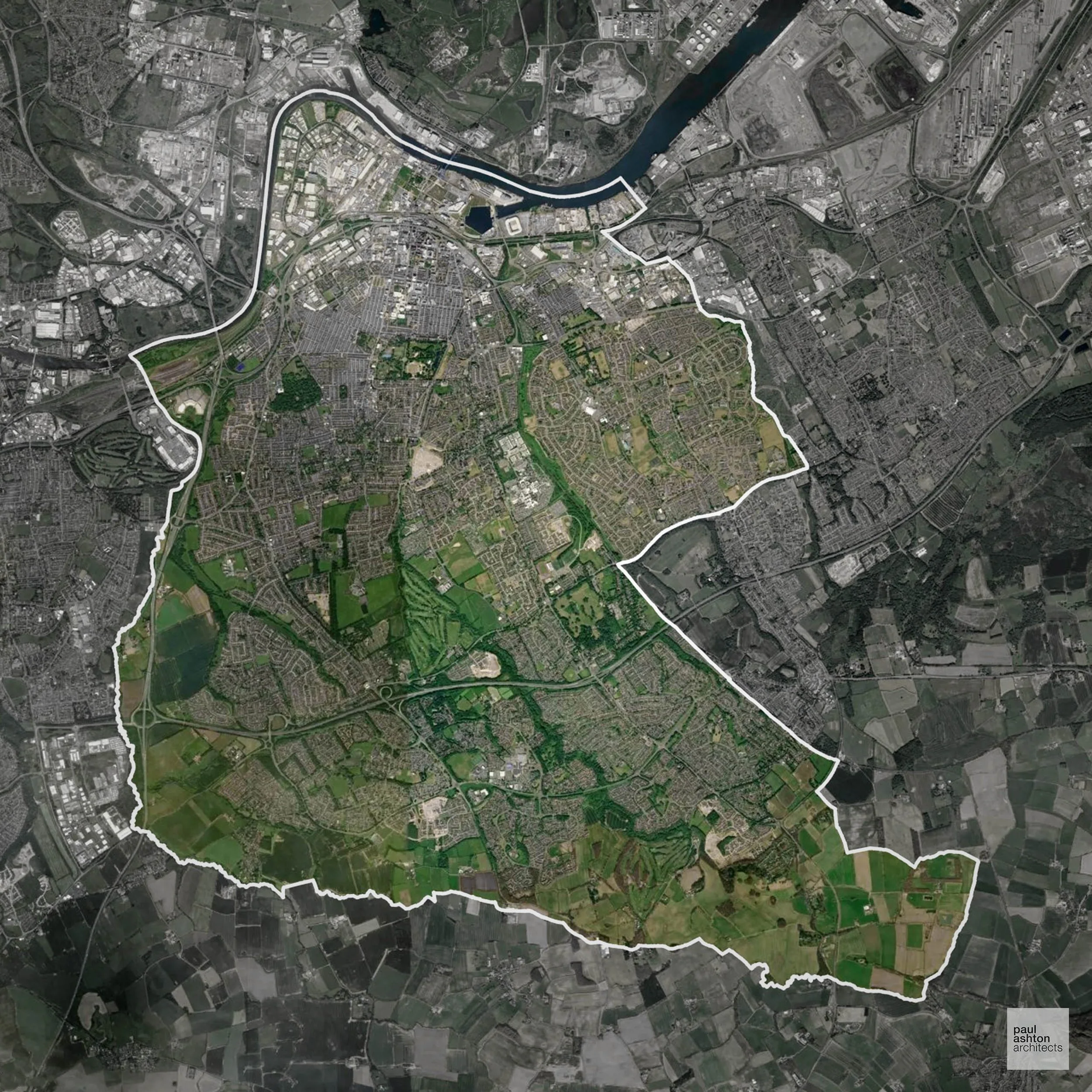
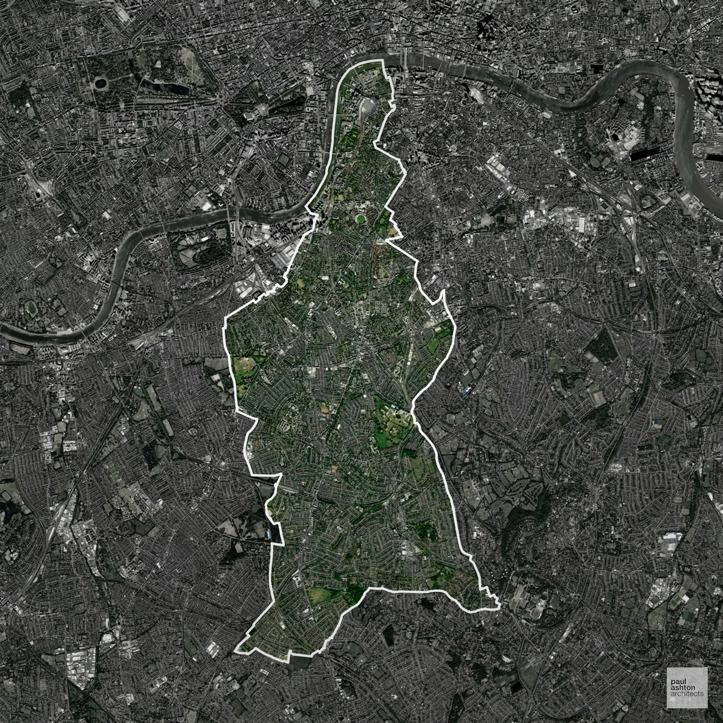
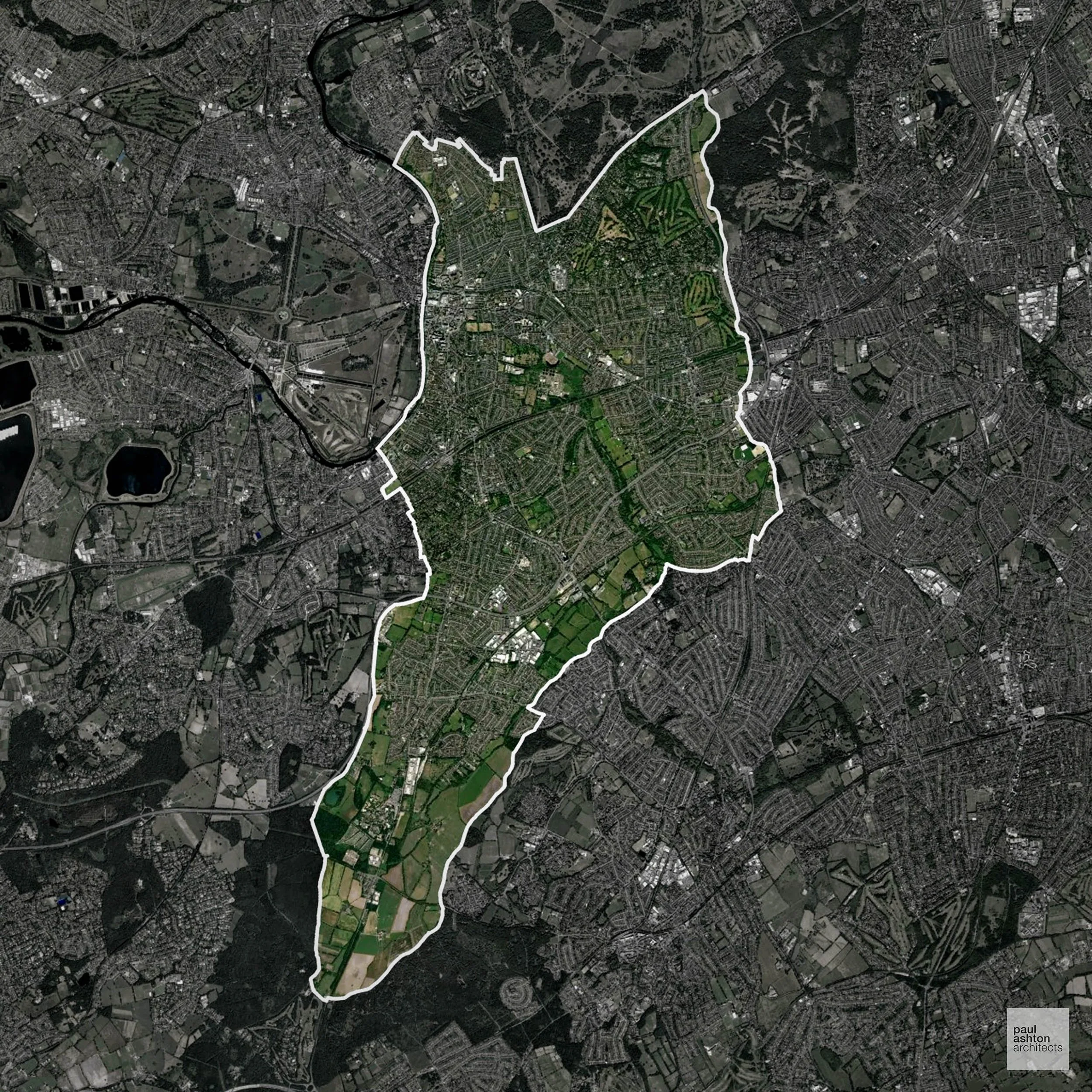
York has one of the most sensitive historic environments in England, with an extensive Conservation Area and a very high concentration of listed buildings. Heritage constraints are particularly pronounced within the Central Historic Core Conservation Area and Clifton Conservation Area, where medieval street patterns, city walls, and fine-grain townscape define character.
Development proposals are rigorously assessed in relation to key views and the setting of assets such as York Minster, with Planning Permission typically requiring exceptional design quality and clear heritage justification.
One of the top reasons heritage building applications are refused is causing harm to historic significance, a risk that can arise when proposals are not prepared by a consultant with heritage expertise. We help minimise this risk with expert, site-specific guidance; contact us here.
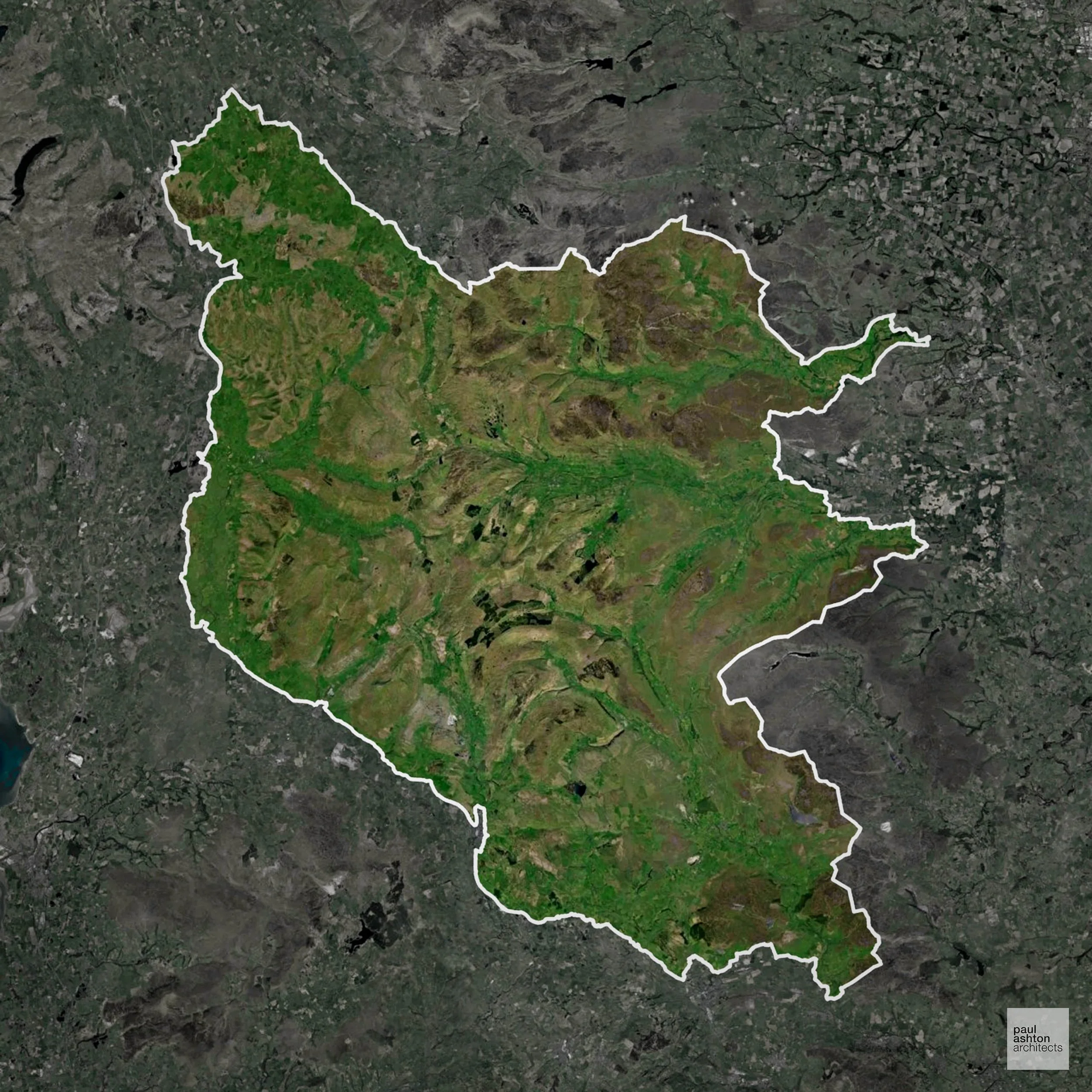
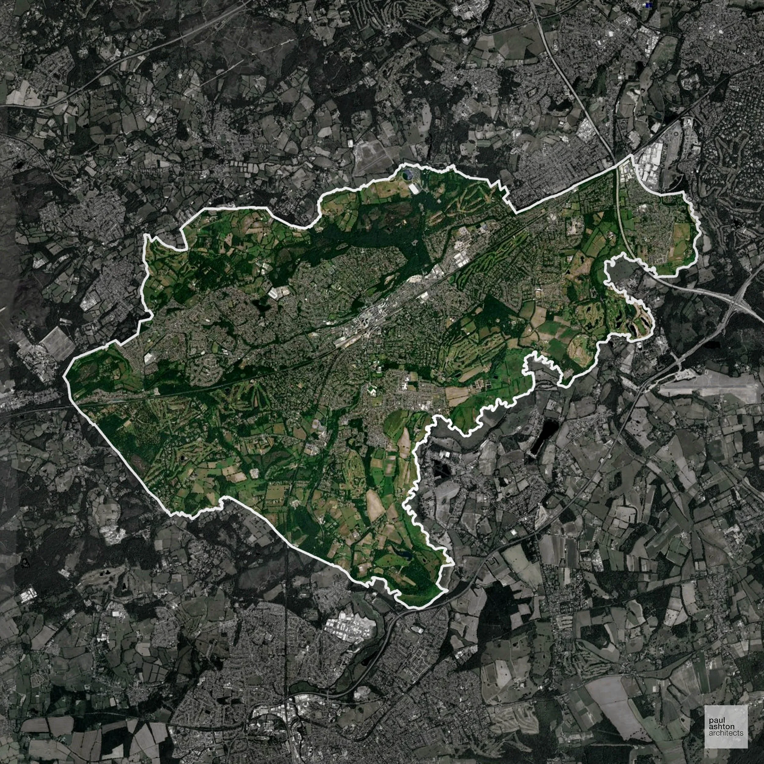
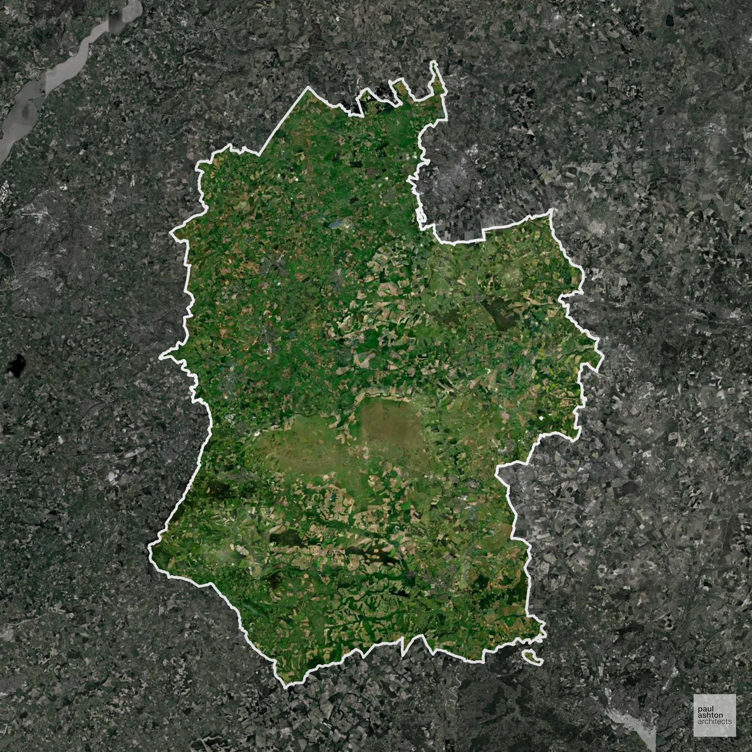
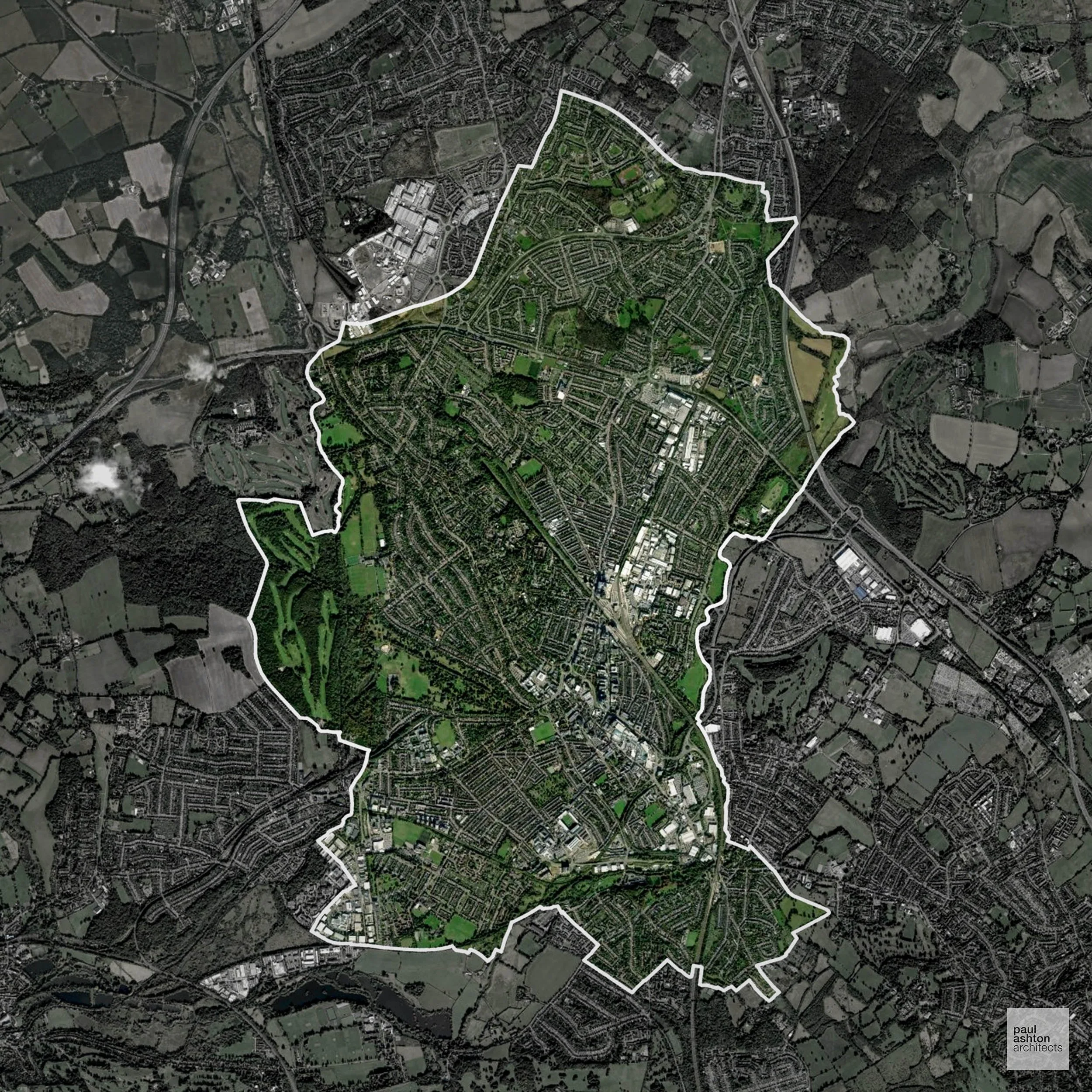
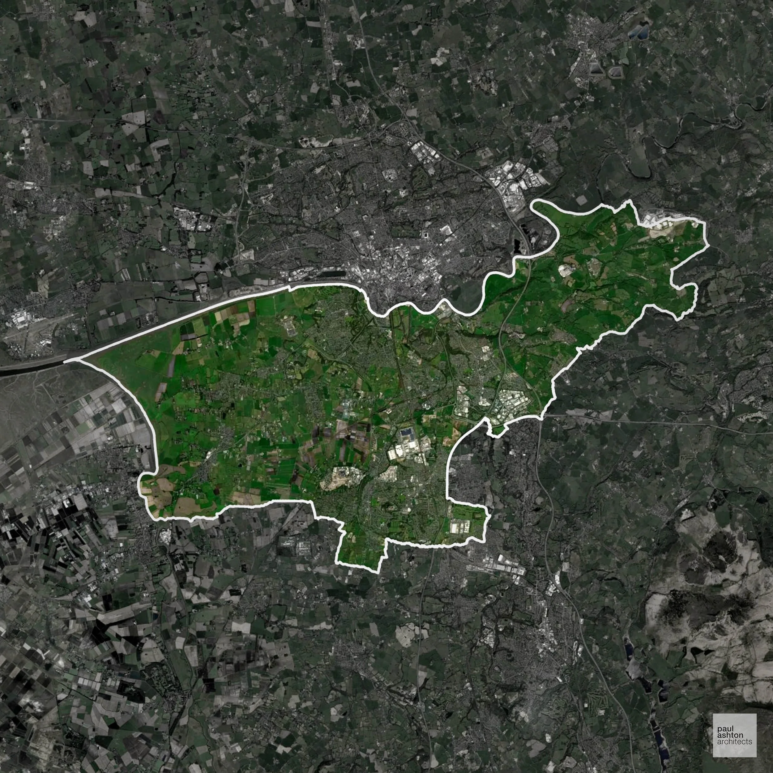
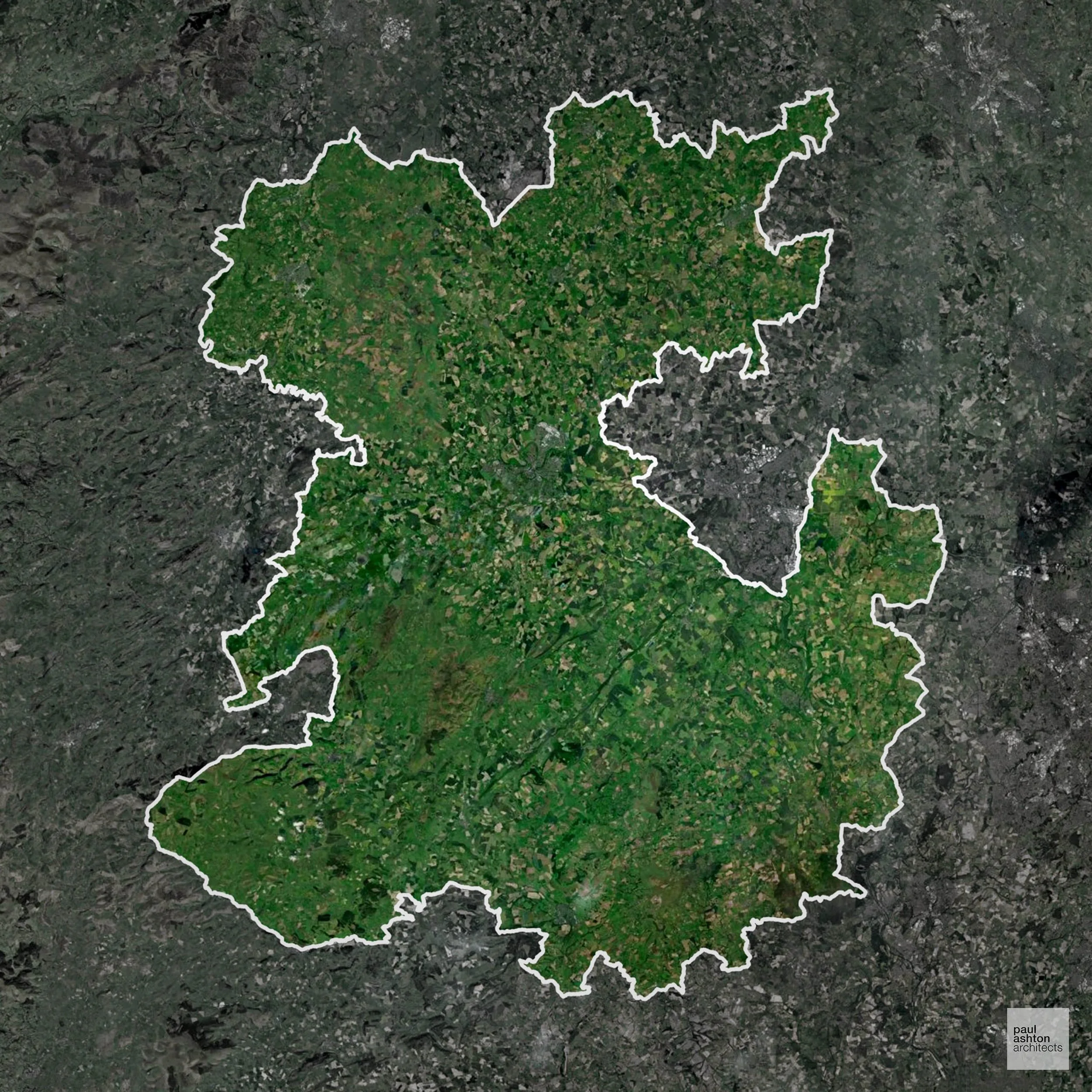
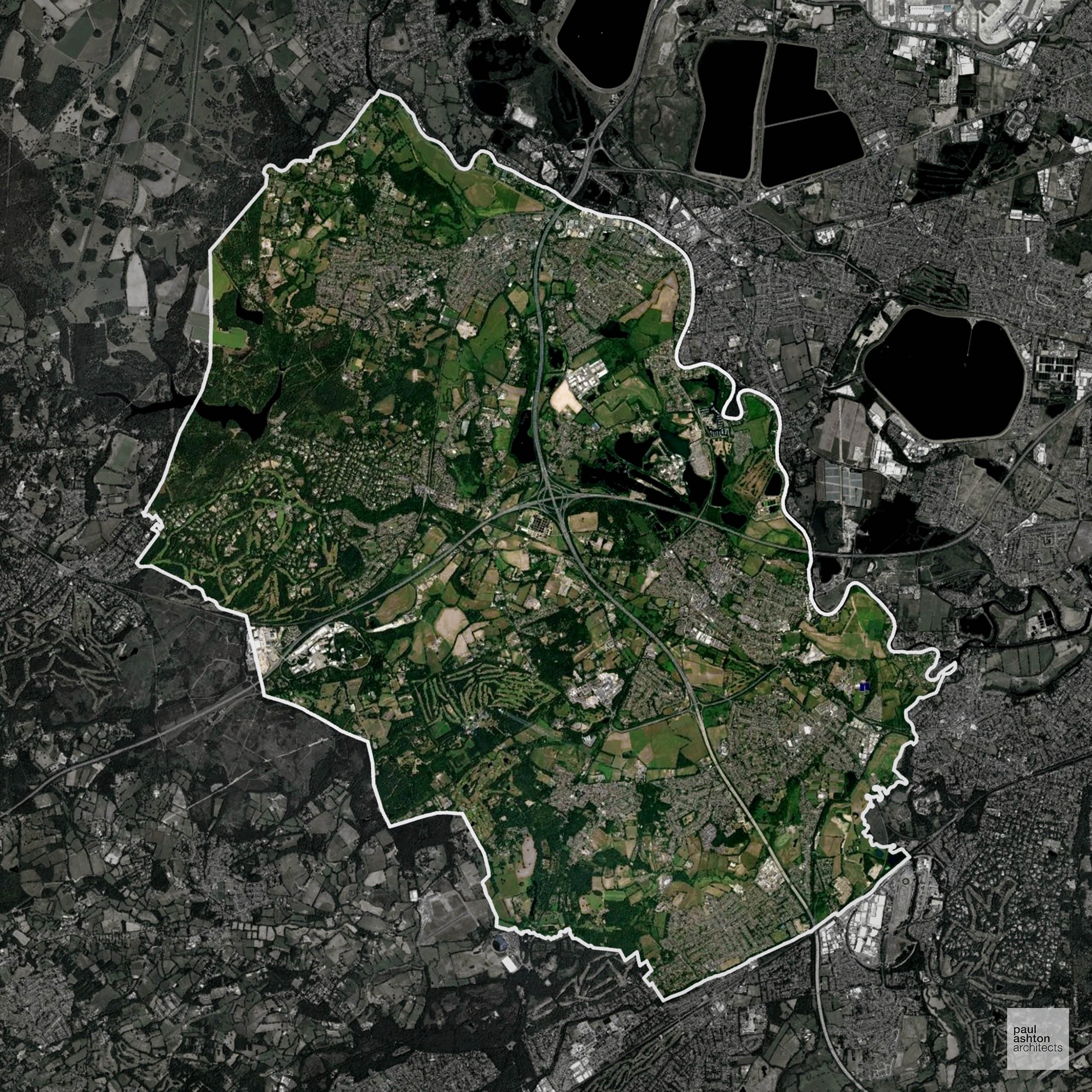
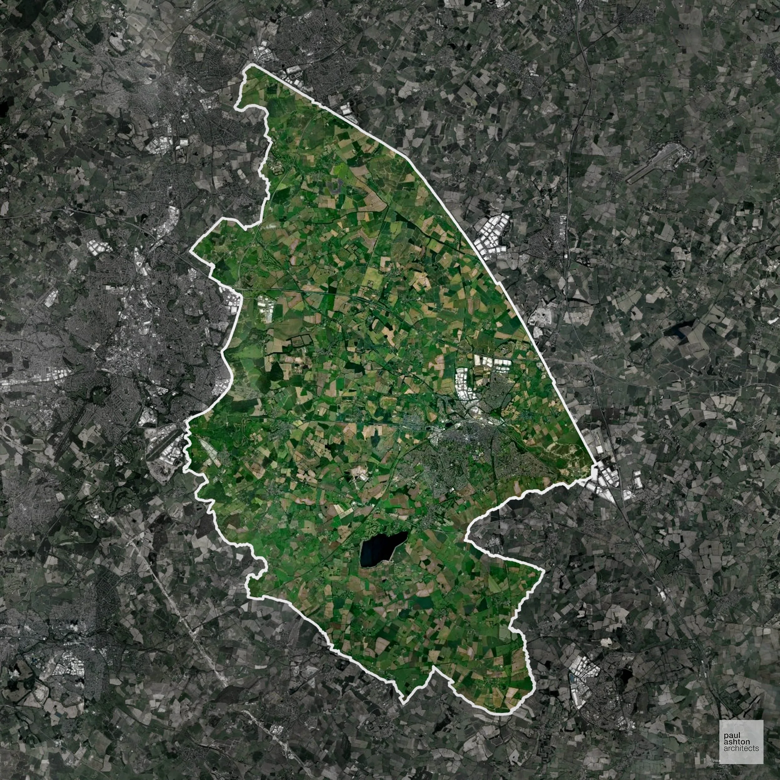
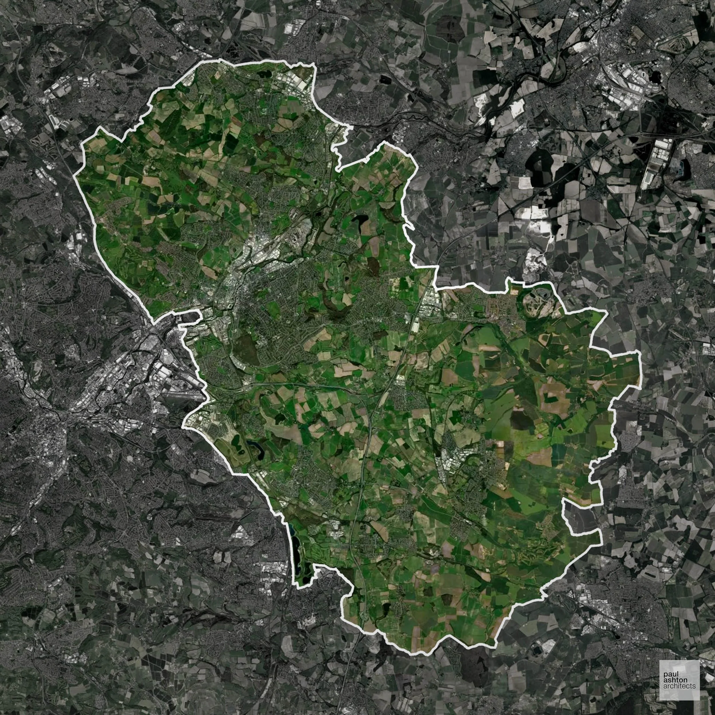
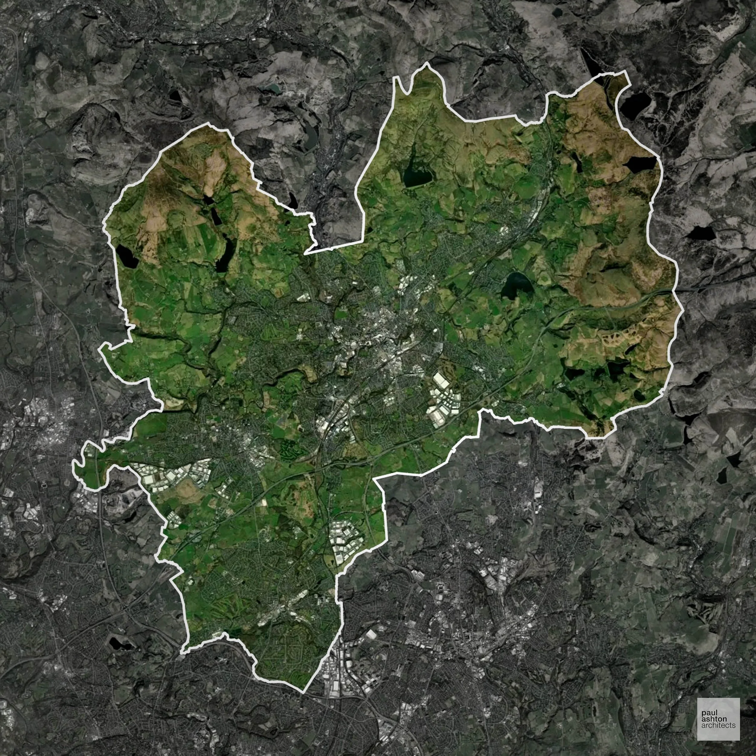
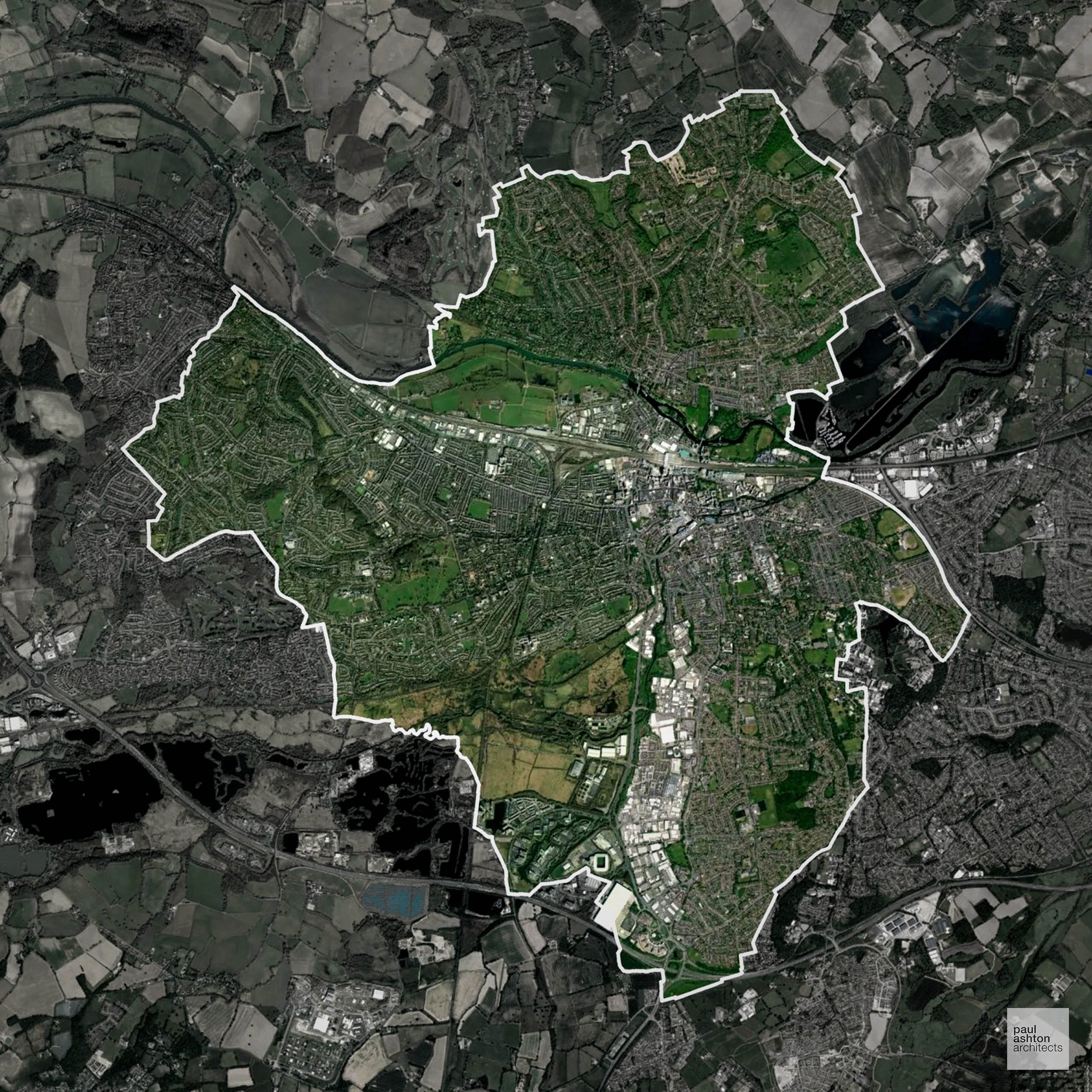
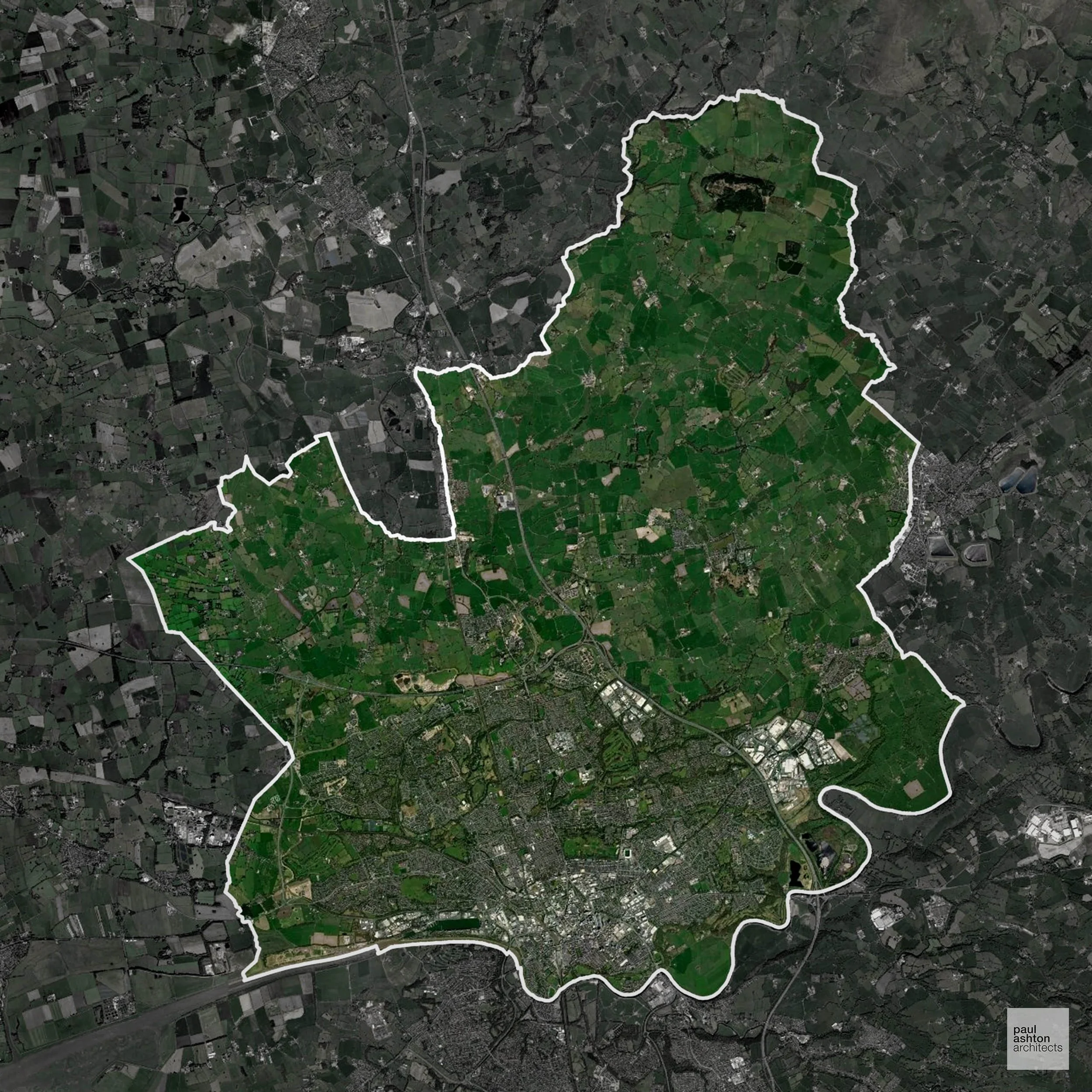
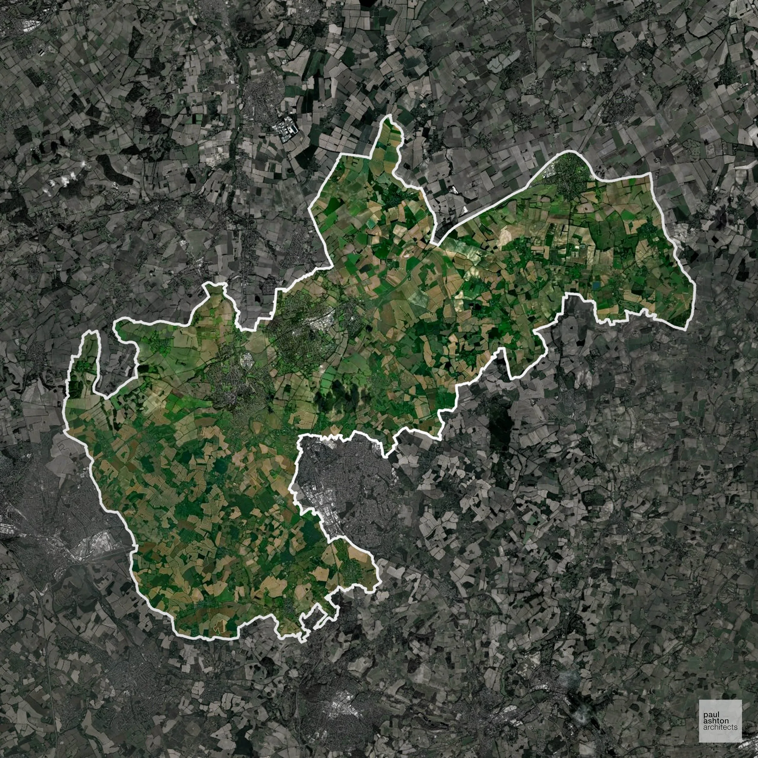
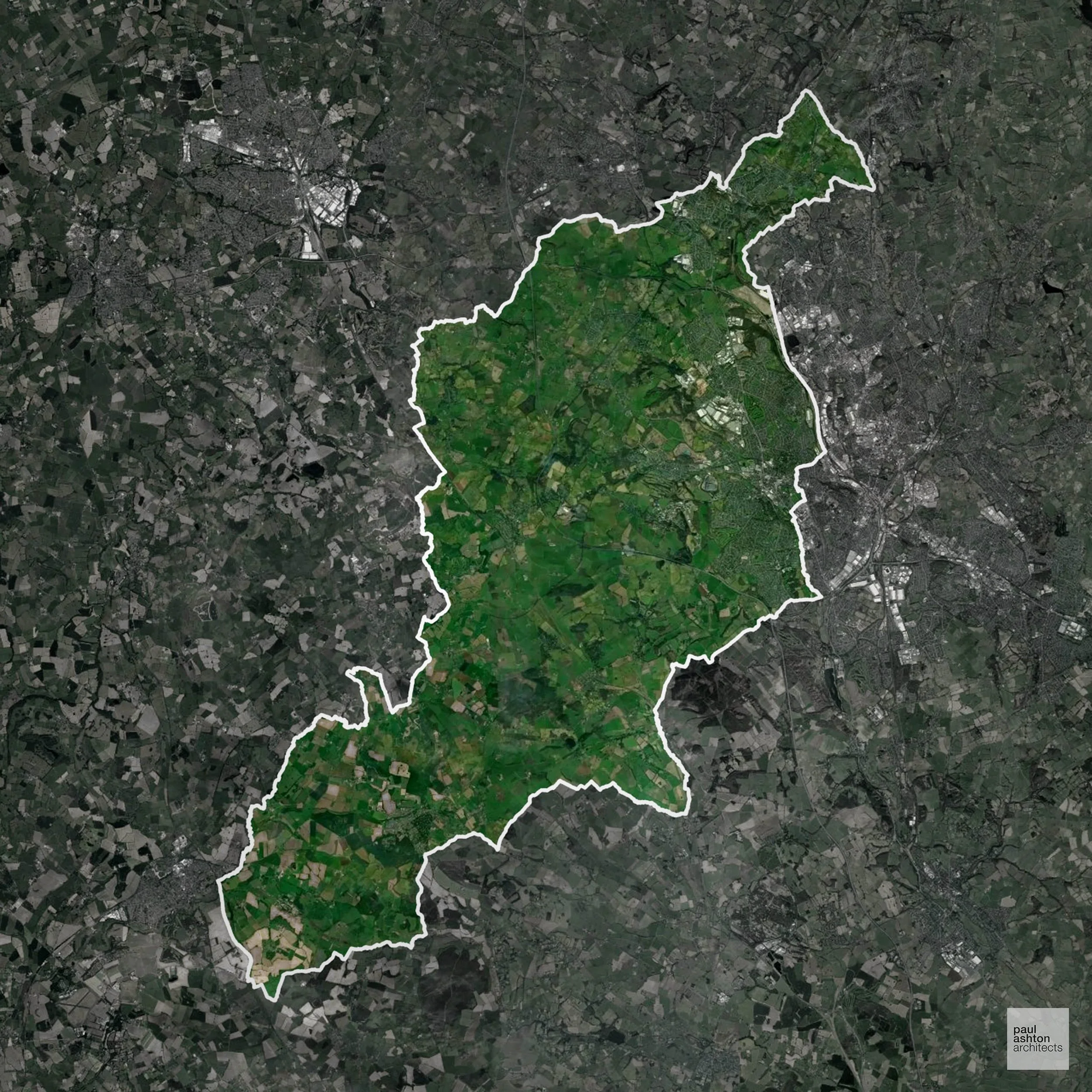
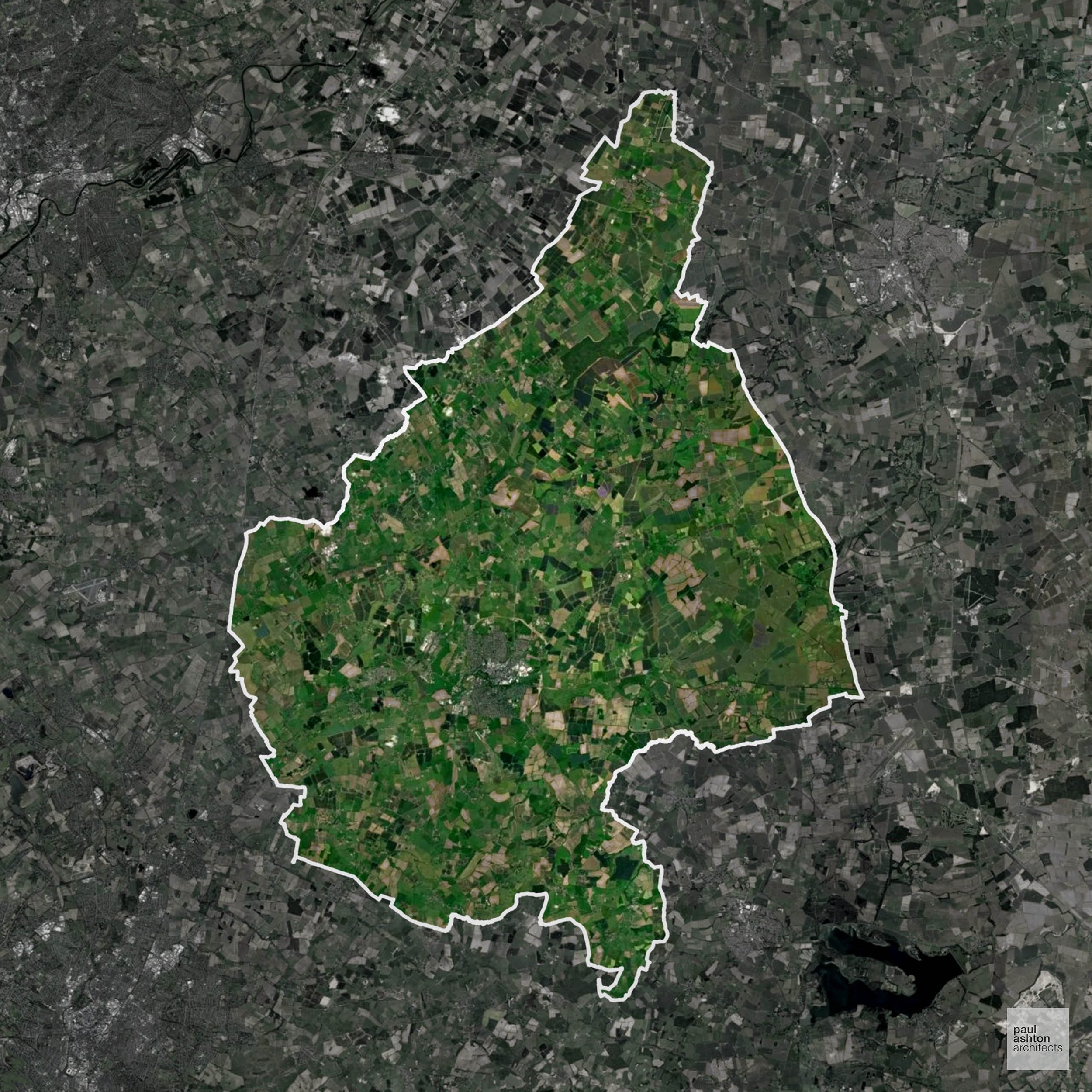
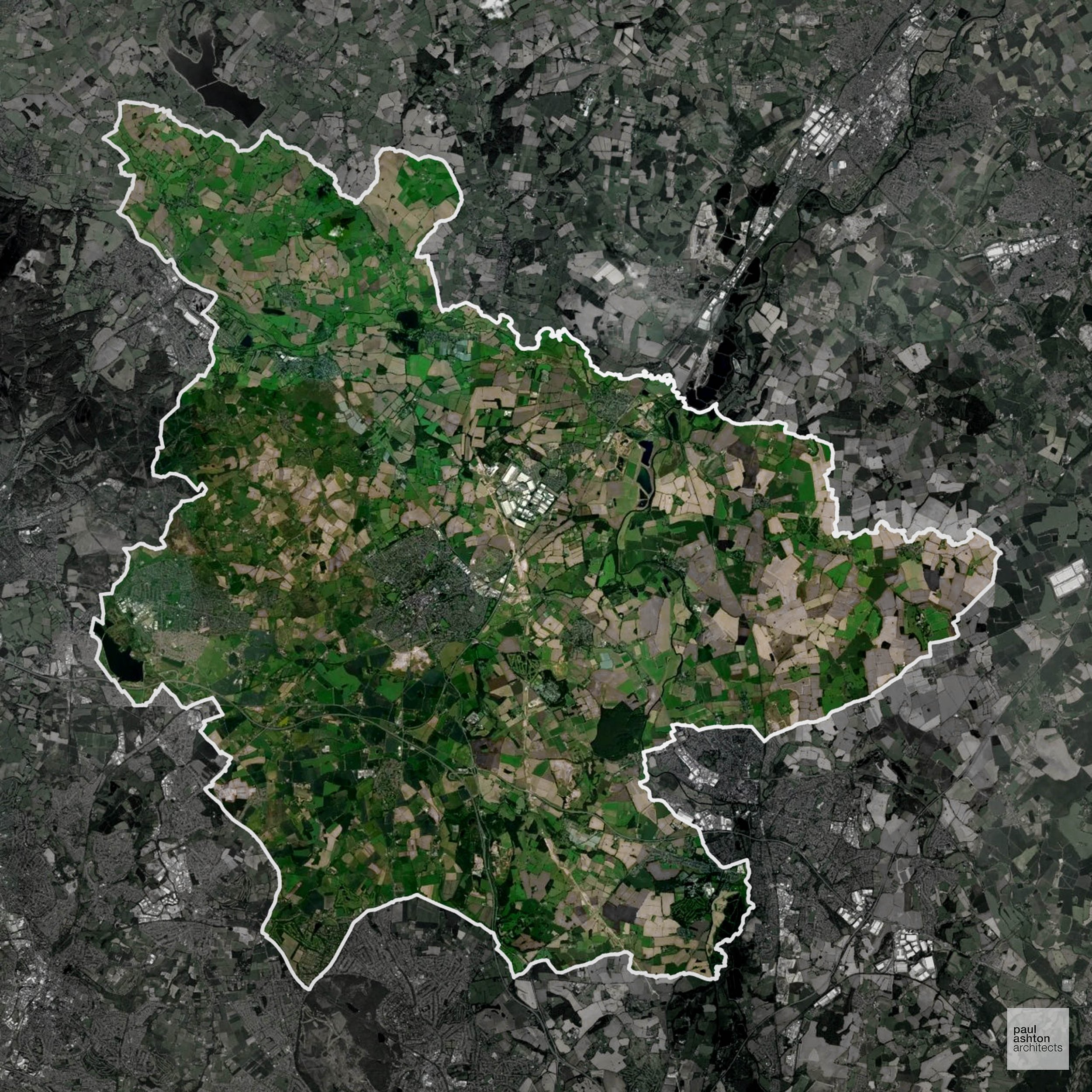
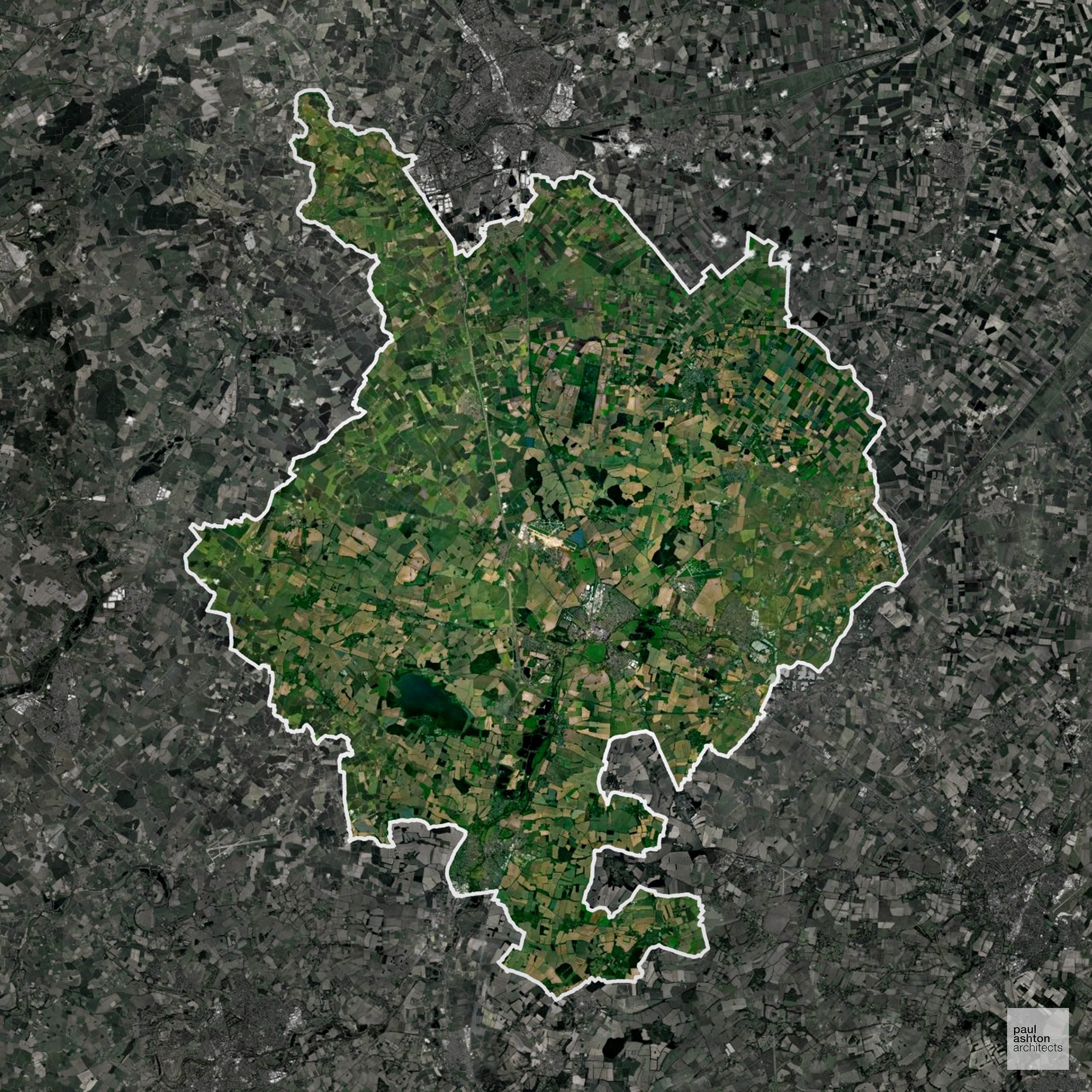
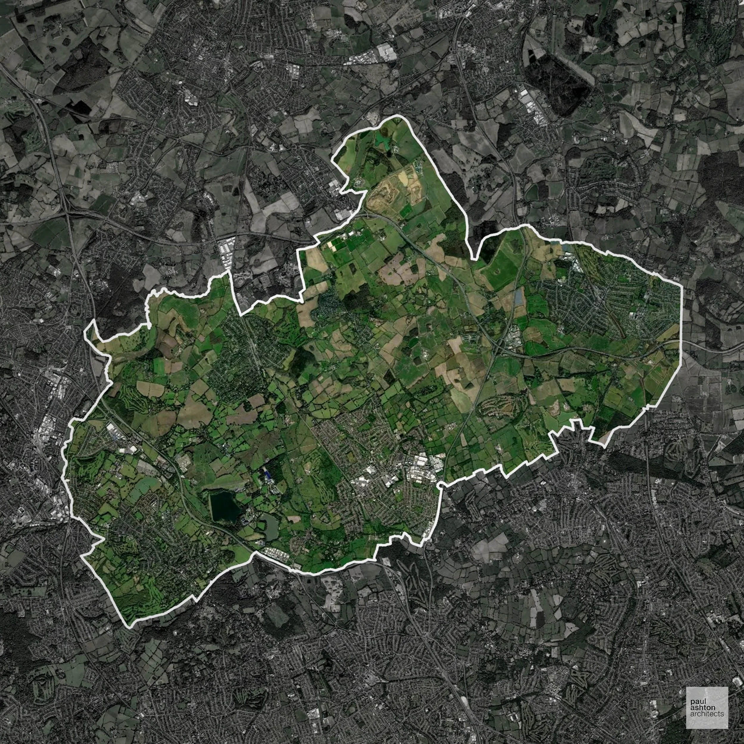
Green Belt Approvals in York
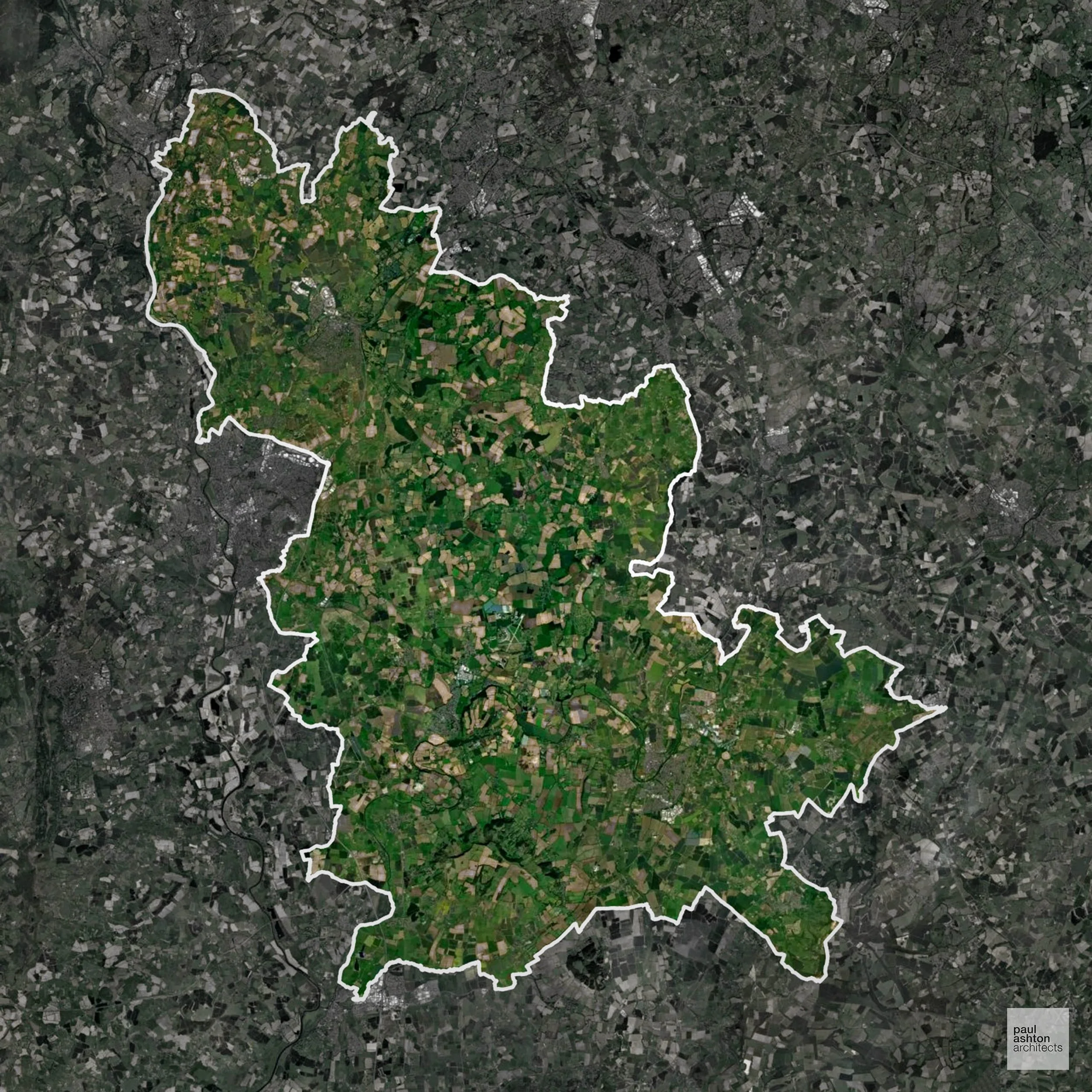
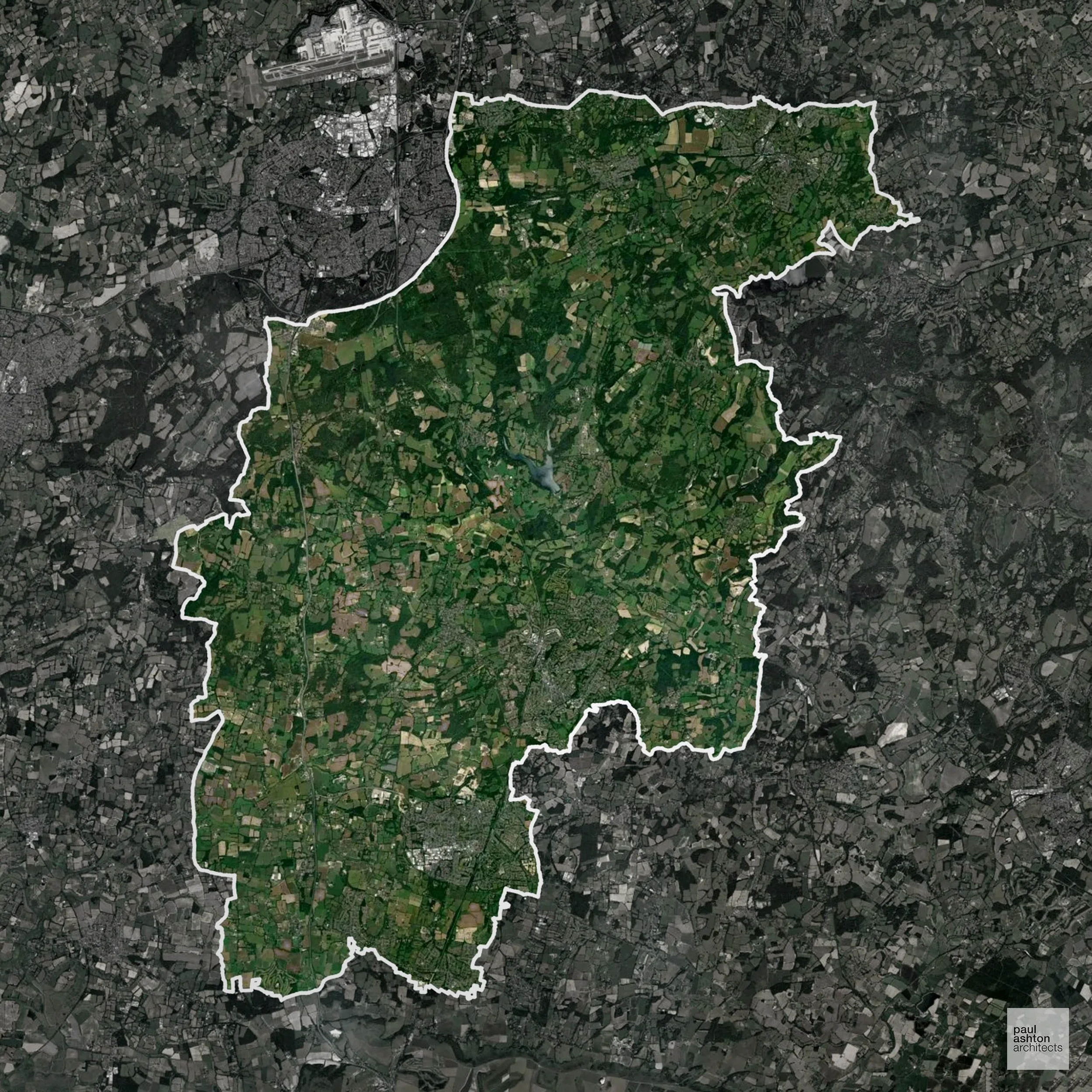
Significantly, 80.5% of York is within the Green Belt and proposals in these areas can be subject to very high levels of scrutiny.
The Green Belt surrounding York preserves the villages of Haxby, Strensall, and Rawcliffe, maintaining the historic setting of York, protecting floodplain farmland, parklands, and river corridors, and preventing coalescence with neighbouring settlements under development pressure.
In our experience, one of the top reasons poorly conceived Green Belt proposals are refused is causing 'harm to openness'. We can lower the risk of refusal with site-specific guidance. Contact us here.
You can also check whether your land is within the Green Belt using our interactive Green Belt map.
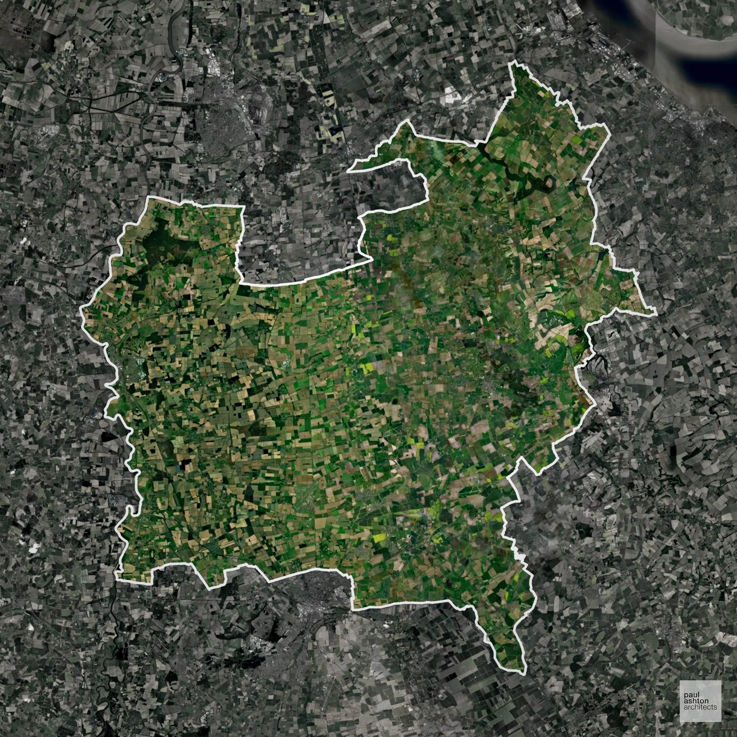
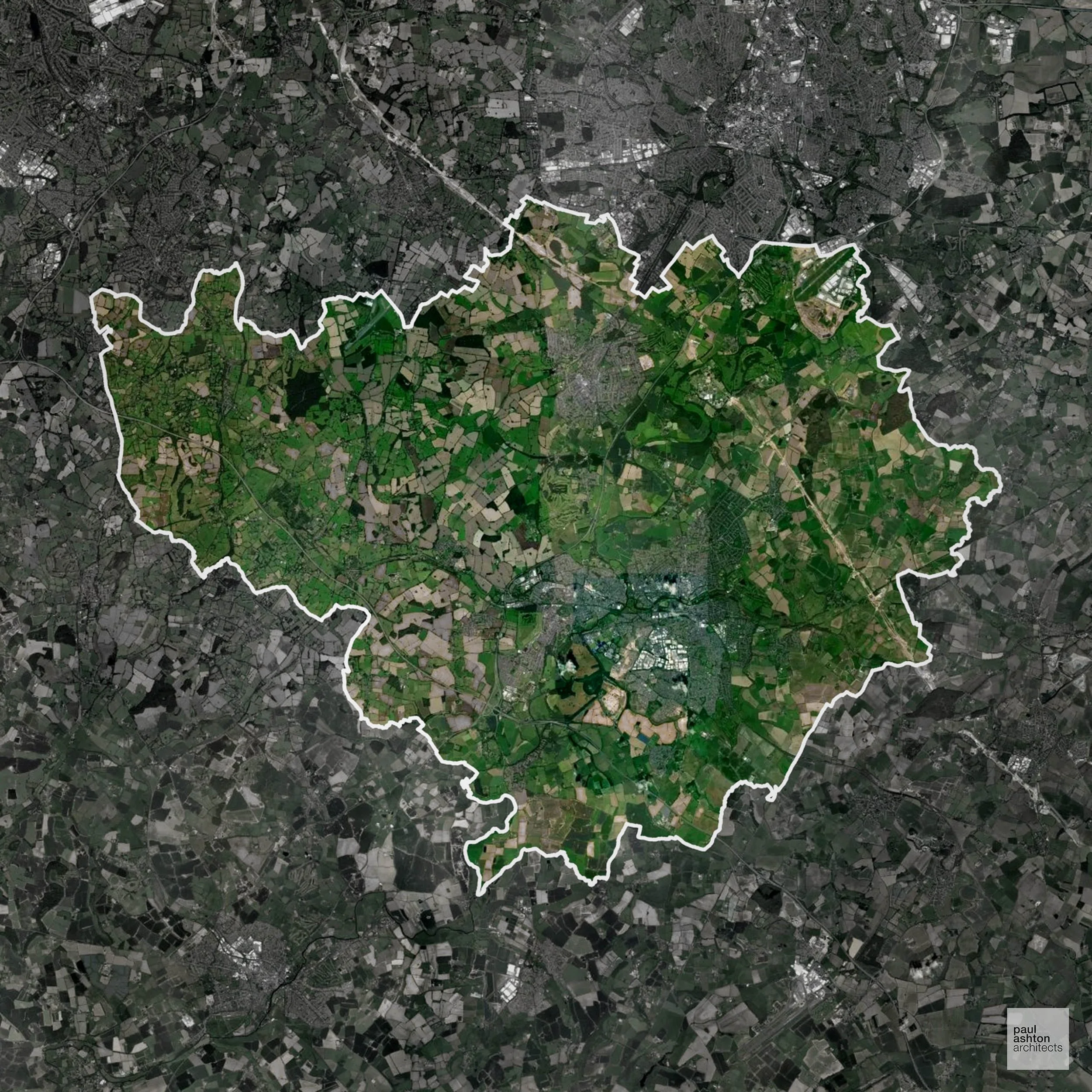
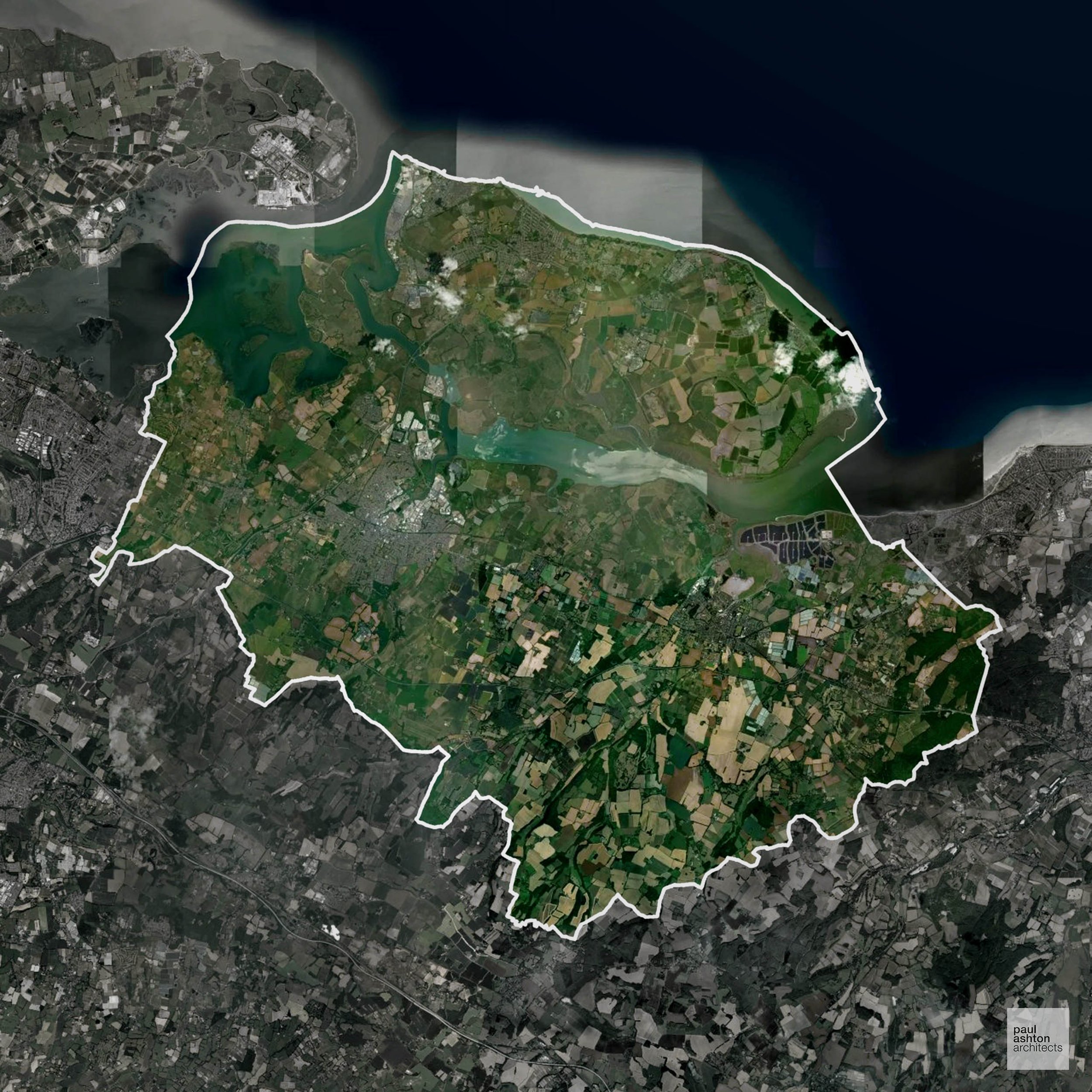
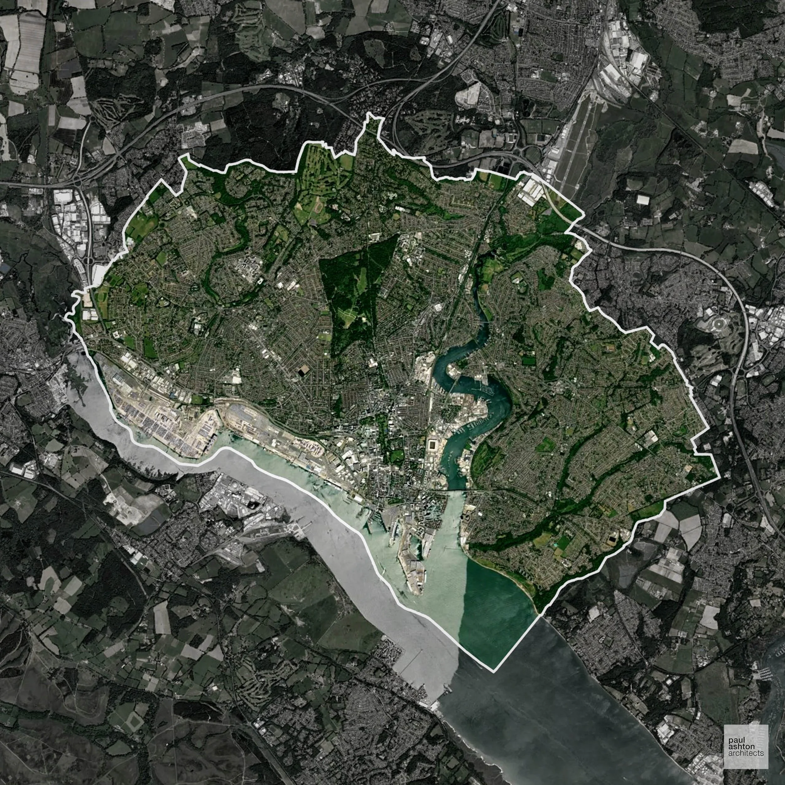
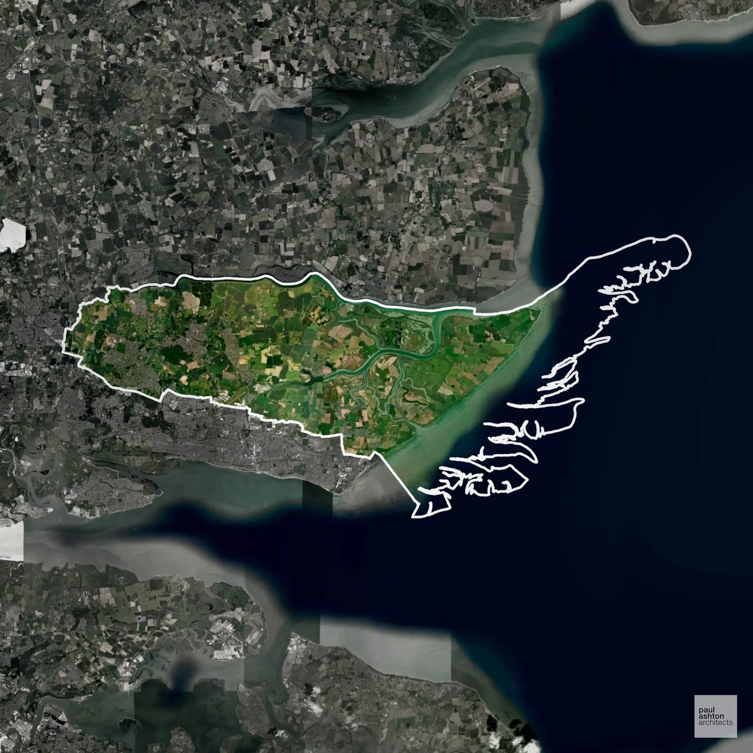
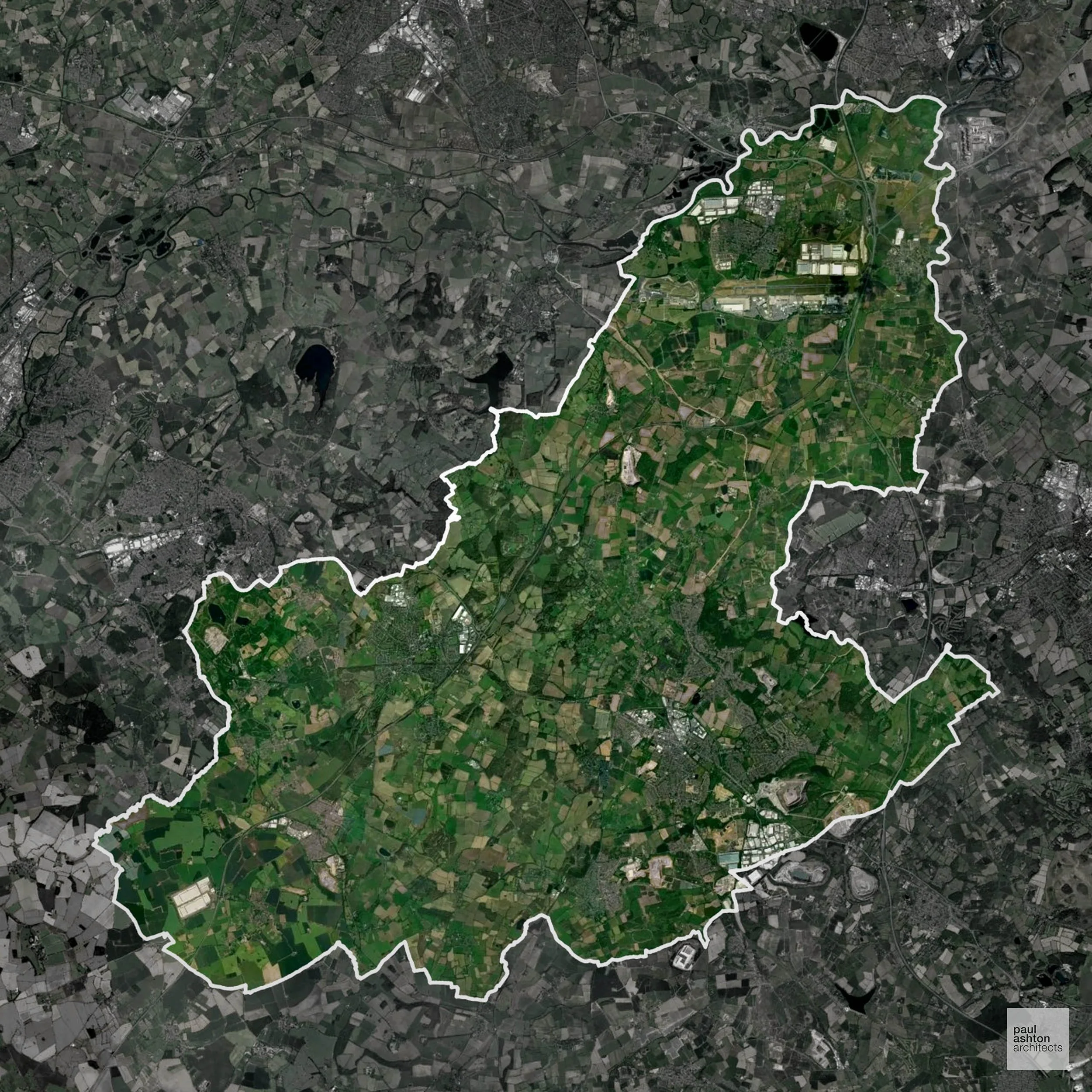
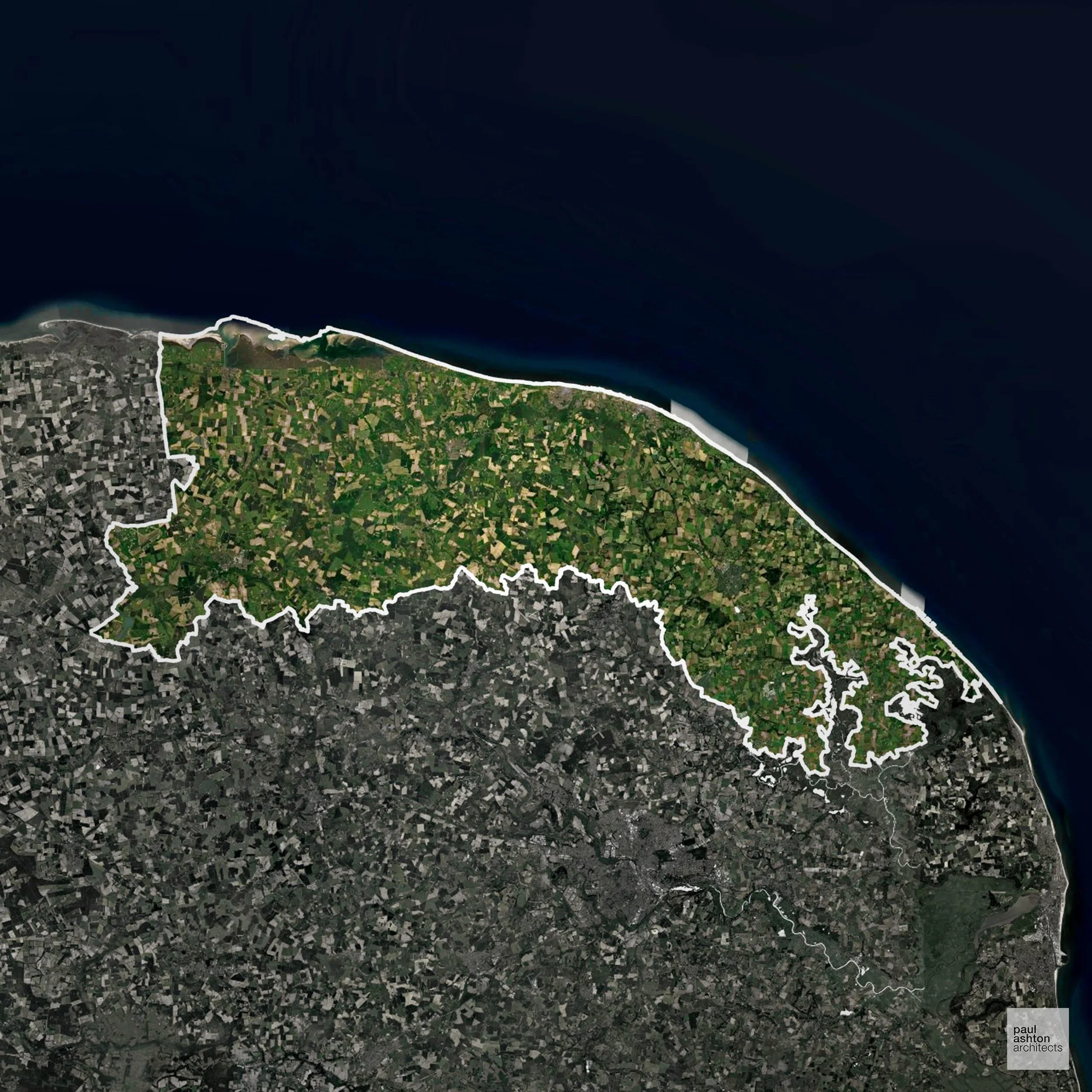
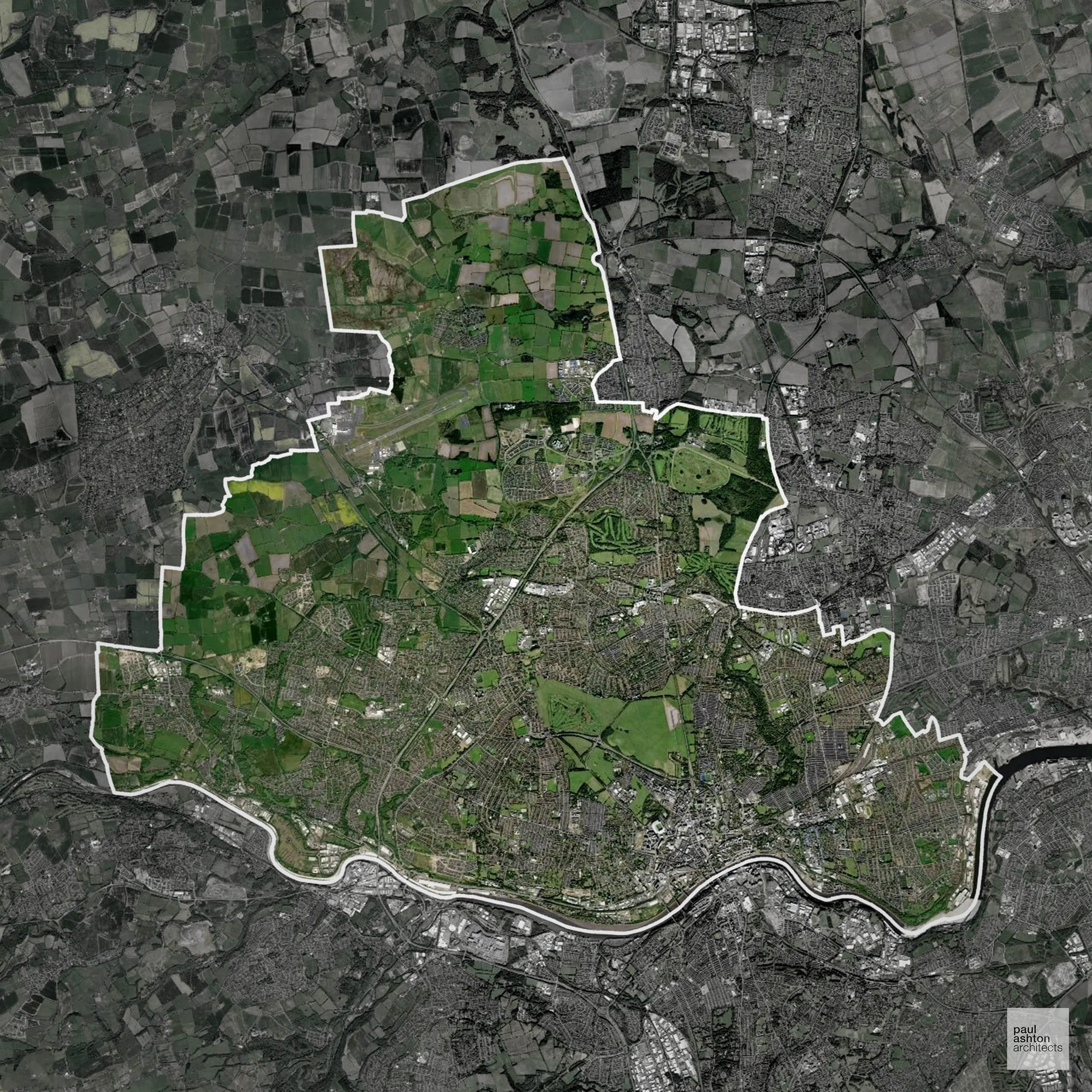
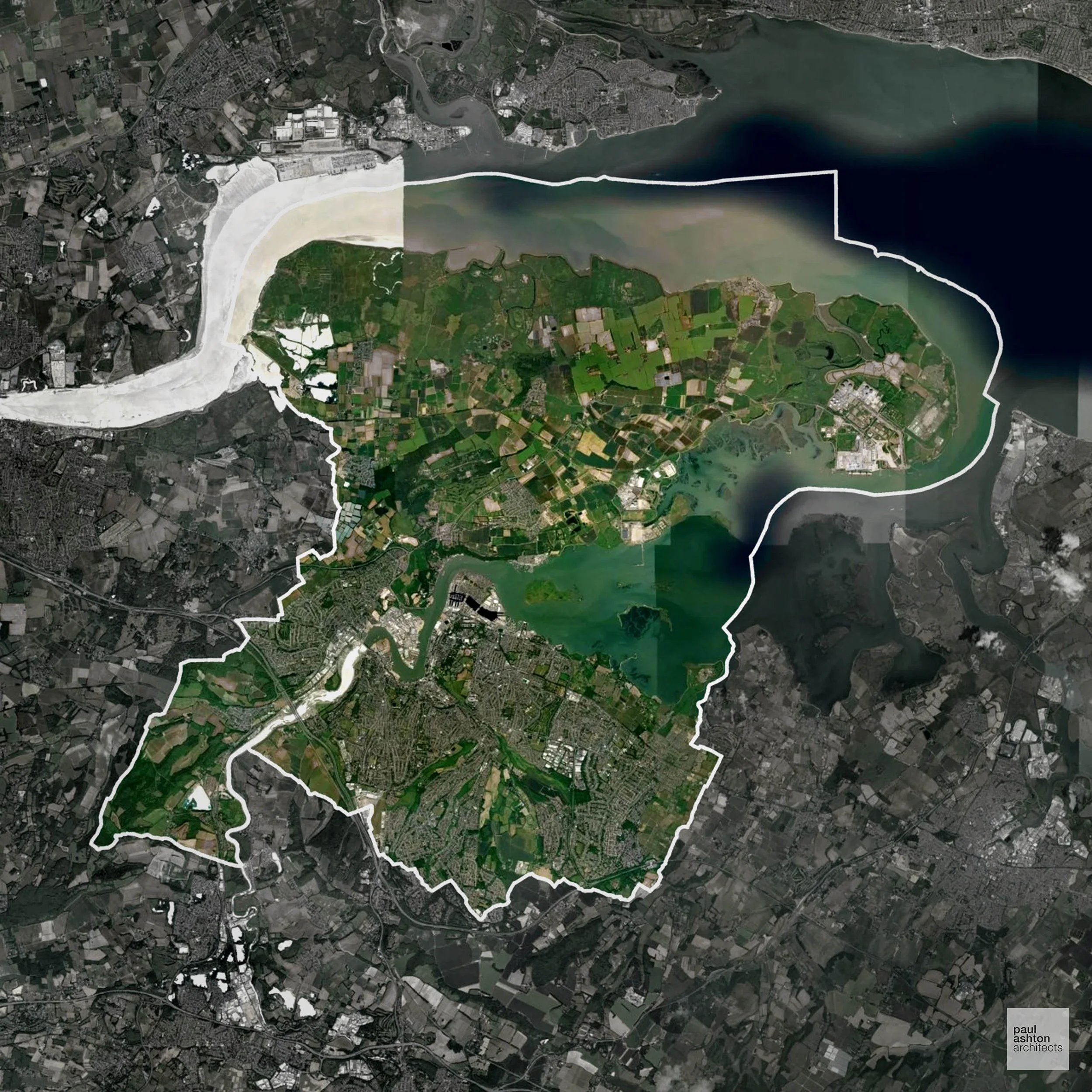
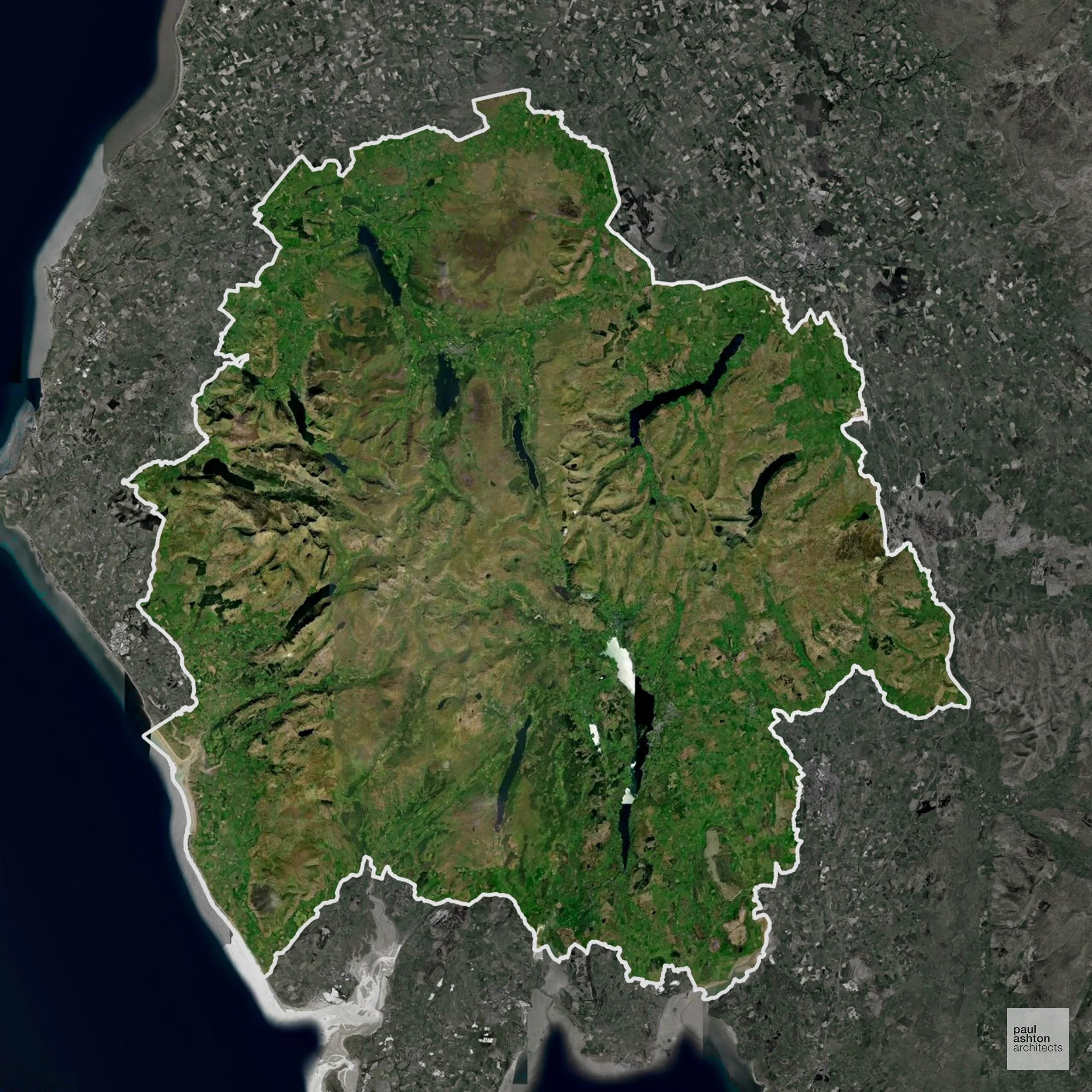
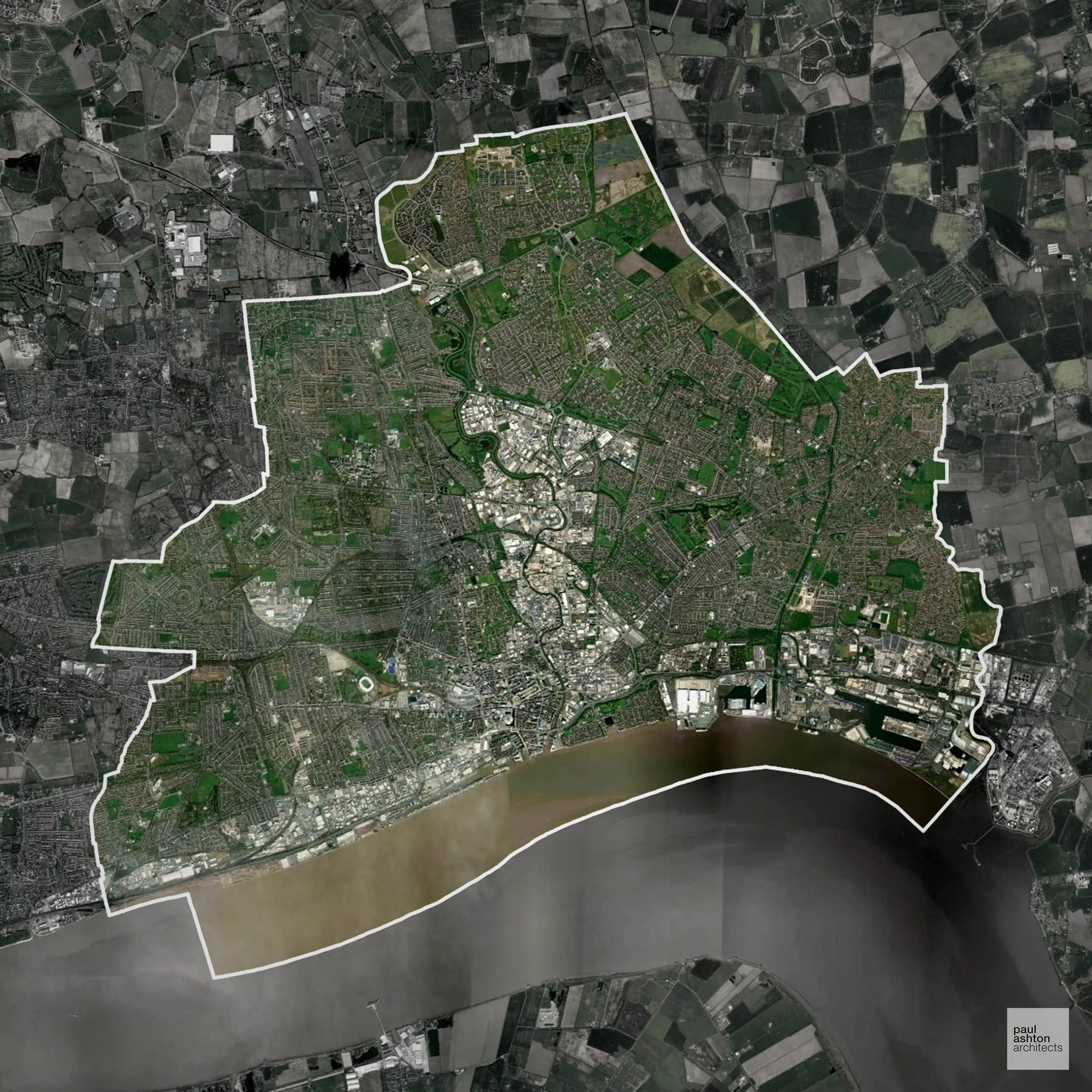
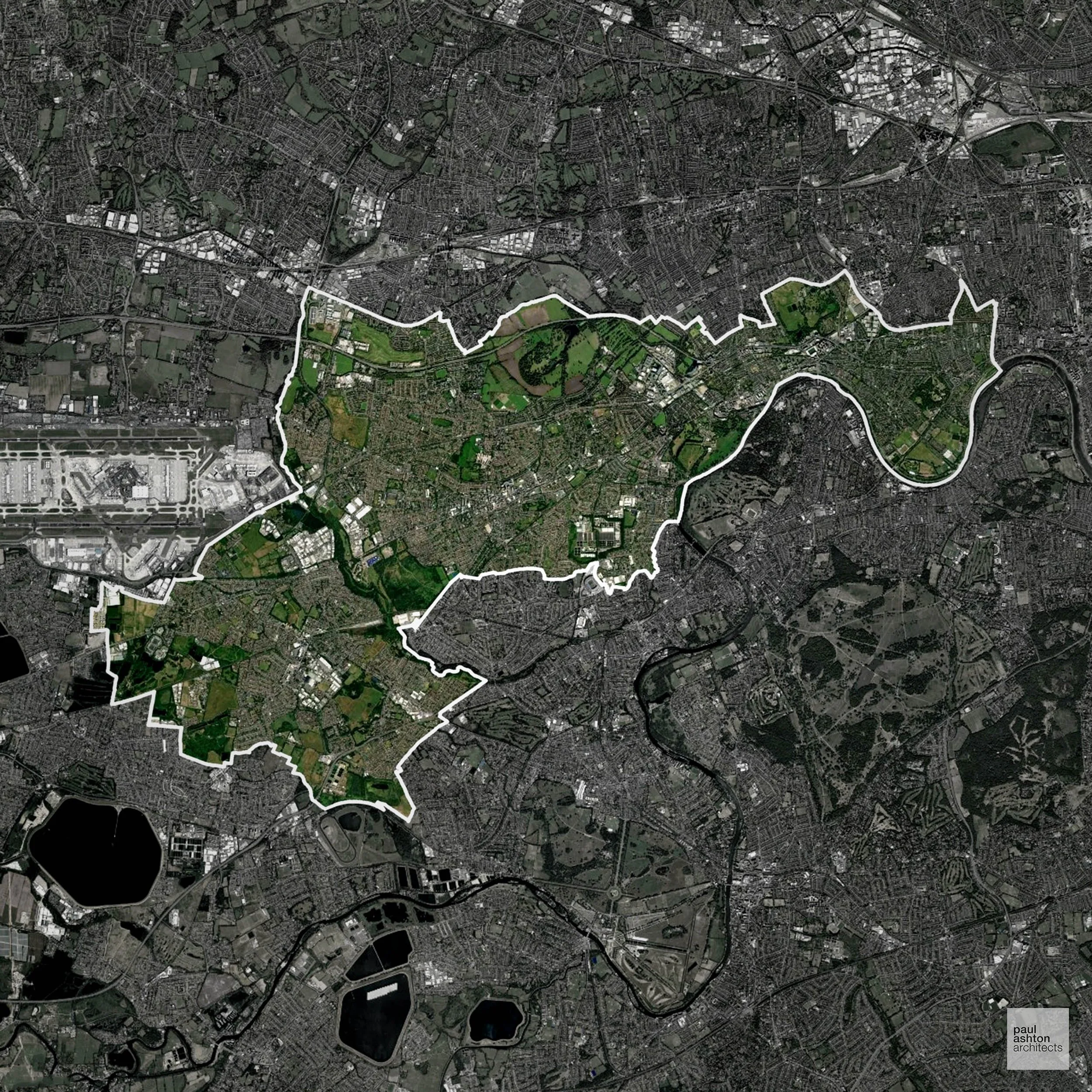
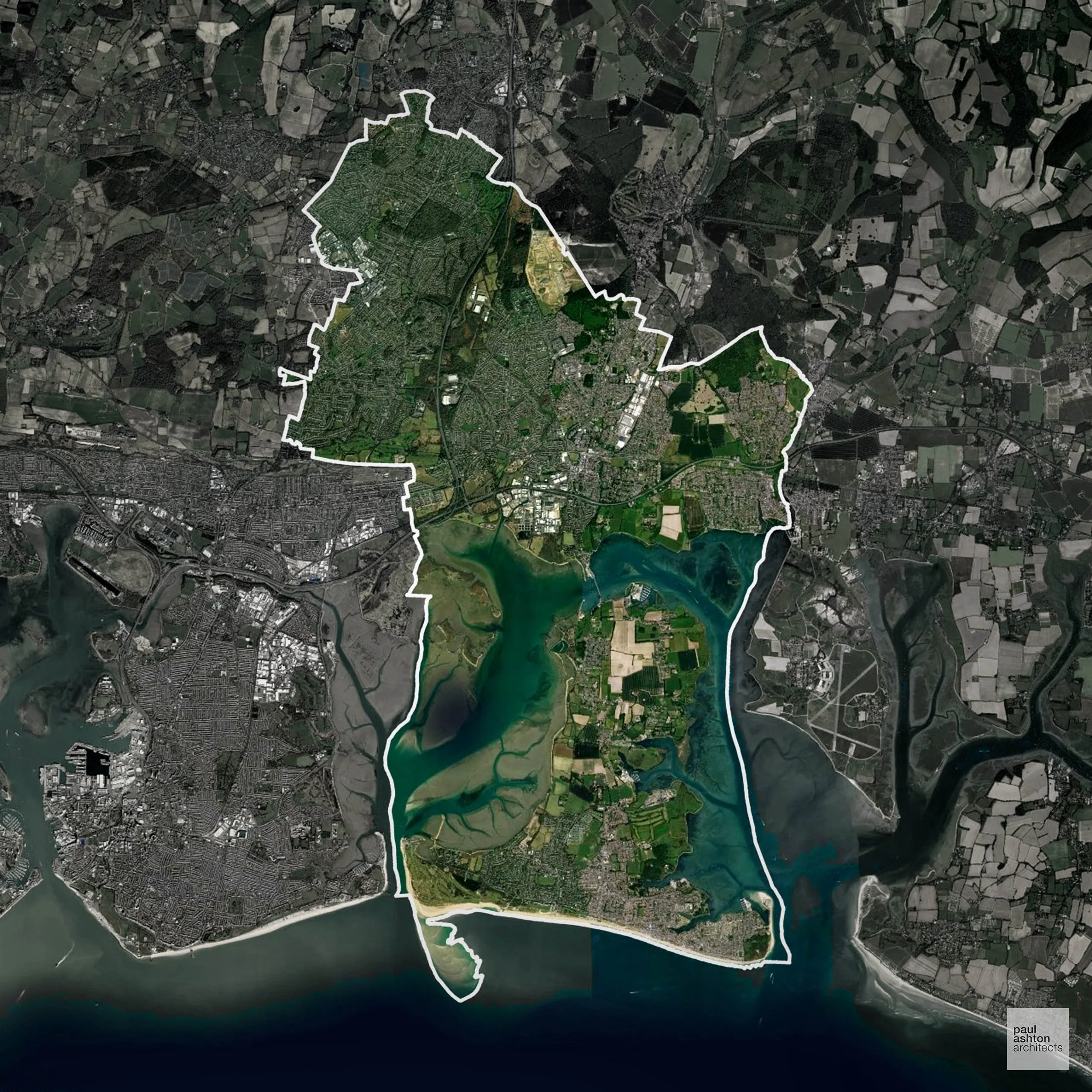
Flood Risk in York
The Rivers Ouse and Foss regularly inundate large areas of the city, and York has some of the most constrained development options of any English city due to the extent of Flood Zone 3 within and around its boundaries.
Where constraints permit, we can develop proposals that manage flood risk thoughtfully to give applications the best chance of approval. Learn more about development risks in flood risk areas here.
Planning Applications in York
In addition to acting as Planing Conultants we are ARB registered architects with 25+ years of experience. We provide a full range of planning services, including:
Design-Led Planning Advice in York
We specialise in resolving complex planning challenges through thoughtful architectural design, turning constrained or difficult sites into successful Planning Permission outcomes. Let’s discuss your project.